Continuing with my Alpine Lake theme, I visited Lake Ingalls today. Hoping for good weather, I started my hike at about 11:30 AM with overcast skies. The trail starts at a modest incline, following the Teanaway River on the right. The river was low, and, from the dry riverbeds, this is a much larger flow earlier in the season. The trail was dry and dusty and climbed modestly, gaining about 1000 feet in elevation along gentle switchbacks to the junction with trail 1229 to Longs Pass. The trail follows the ridgeline at a shallow incline, providing expansive views of Esmerelda Peaks and the Esmerelda Basin.
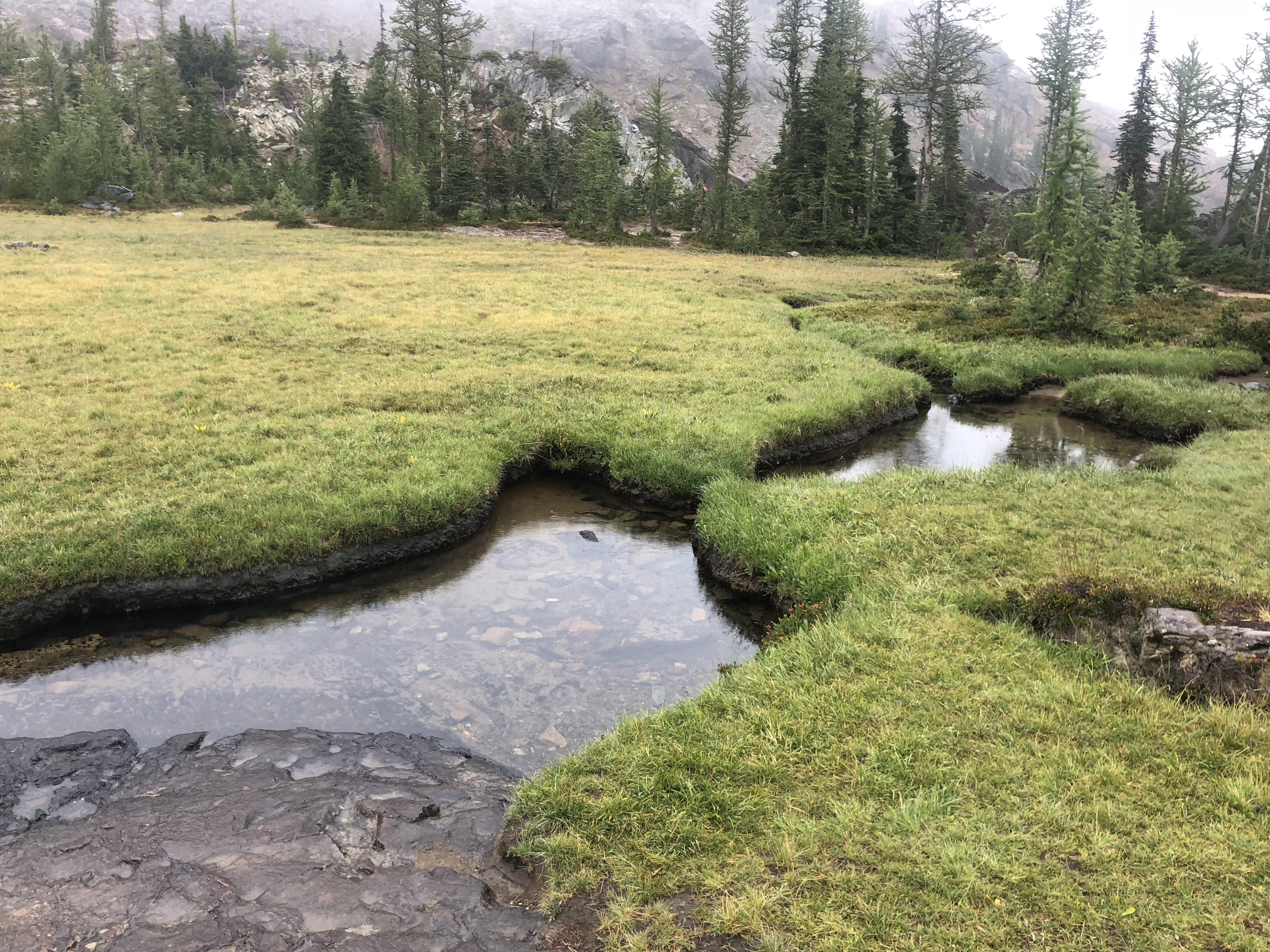
As you near Ingalls Pass, the trail crosses over red rock formations, providing beautiful scenery. Many old, weathered grey trees and stumps add to the colorful collage. Once you gain the ridgeline and reach Ingalls Pass, the climate and terrain drastically change to a lush, verdant alpine meadow setting—the trail forks in two directions. The way right descends a few hundred feet through beautiful rock formations, green mossy plateaus, abundant wildflowers and colorful brush. Lupines, small bonsai-like firs, streams, and weather rock slabs create a Middle Earth-like setting. We opted to take the left fork and return on the right. You will cross a few short areas where the trail crosses some rocky terrain and levels out onto a large plateau-like area with red rock slabs and pools and rivulets surrounded by carpet-like green moss. I saw goat fur near the water, but no goats today.
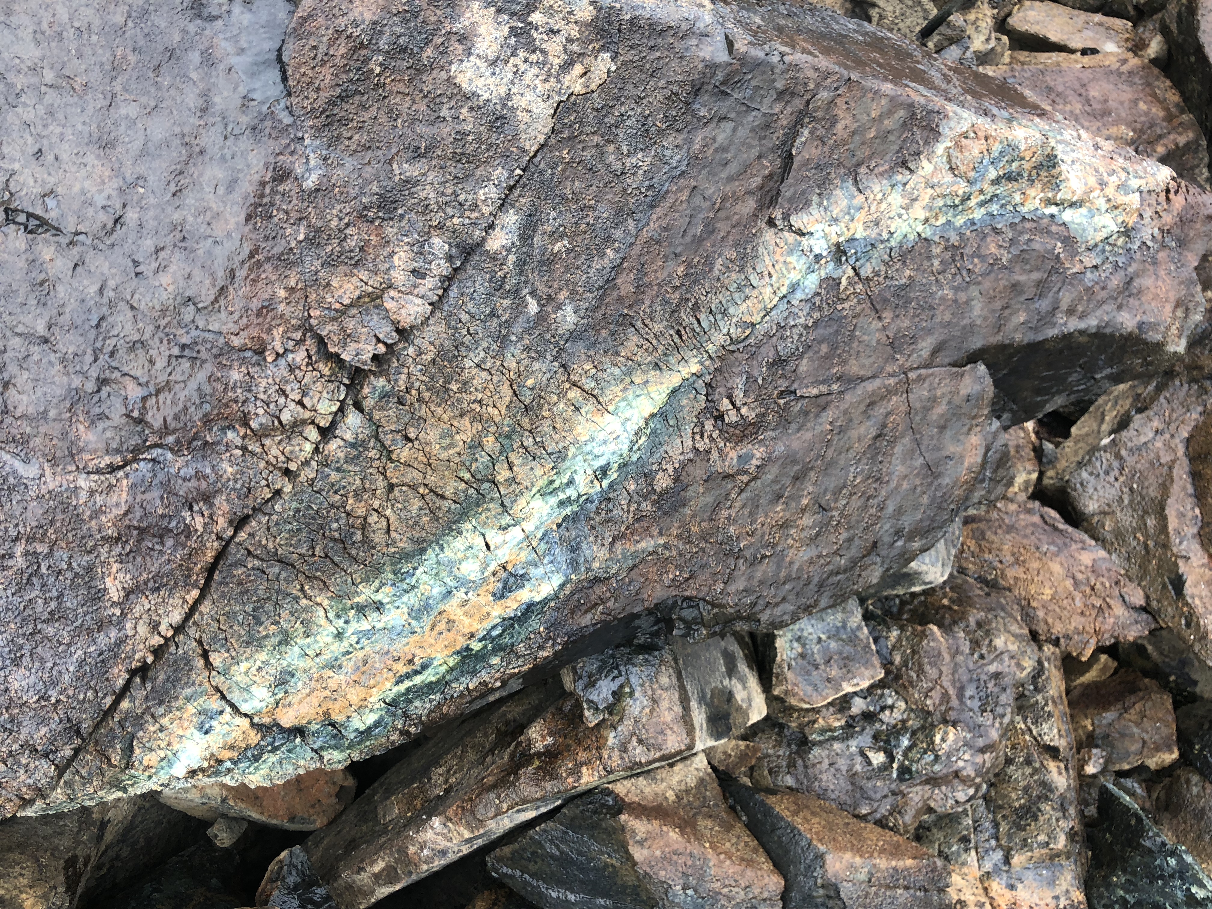
This area is truly spectacular, and frankly, I enjoyed the terrain and flora much more than the lake. If you lose the trail – look for cairns and dirt paths ahead. Keeping on the trail is relatively easy, especially using a map or an app. You finally will cross a rocky area with large boulders and skirt over large rock slabs to a slight scramble, which navigates up and over the final pass to the lake. This is the only tricky bit of the trail. Part of it was covered in mud, and the rocks were slick in the wet weather.
The lake is located in a beautiful basin surrounded by rock. The sky was cloudy and misty, and we could not see Mount Stuart from the lake or any part of the trail. Regardless, the hike to the lake it totally worth the effort, and Headlight Basin proved to be a surprise regarding the natural beauty. The hike up the Ingalls Creek trail looked beautiful in the distance and would prove an interesting alternative to the Enchantments. A full set of pictures of the day and many shots of the trail are in my AllTrails link below.
Note: Per US Forest Service the road 9739 to the Esmerelda Trailhead may be closed for several hours Monday – Thursday. Please check the US Forest Service site for updates:
https://www.fs.usda.gov/recarea/okawen/recarea/?recid=57577
Cle Elum Area: Closures on Road 9737 to Lake Ingalls Trailhead


https://www.alltrails.com/explore/recording/lake-ingalls–324