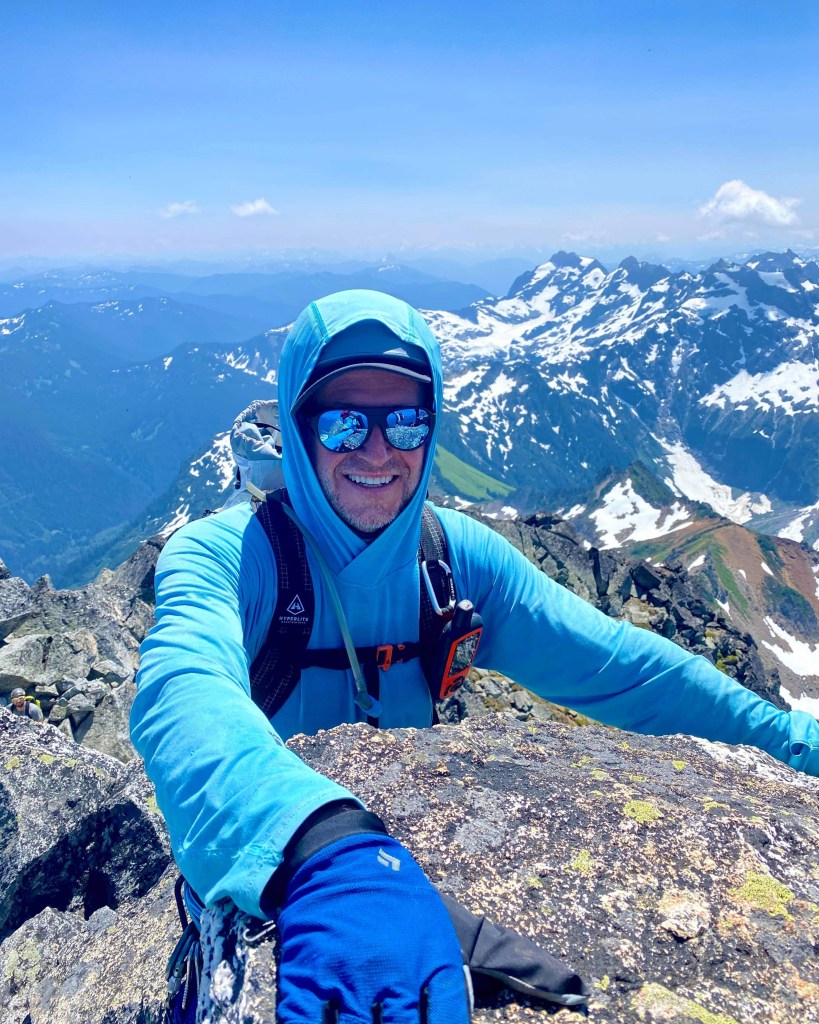
Super climbing collab up Sloan Peak between #hikingwithhadland and The Dirt Bauguette aka Mel Fernandes, http://www.thedirtbaguette.com/ who planned and led an amazing trip. Mel is a great leader, climber, and I had one of my best alpine experiences with her and her crew on this outing! Sloan is an amazing peak and the corkscrew route is epically beautiful.
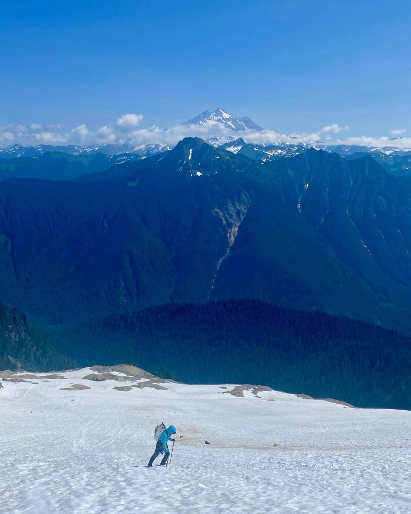
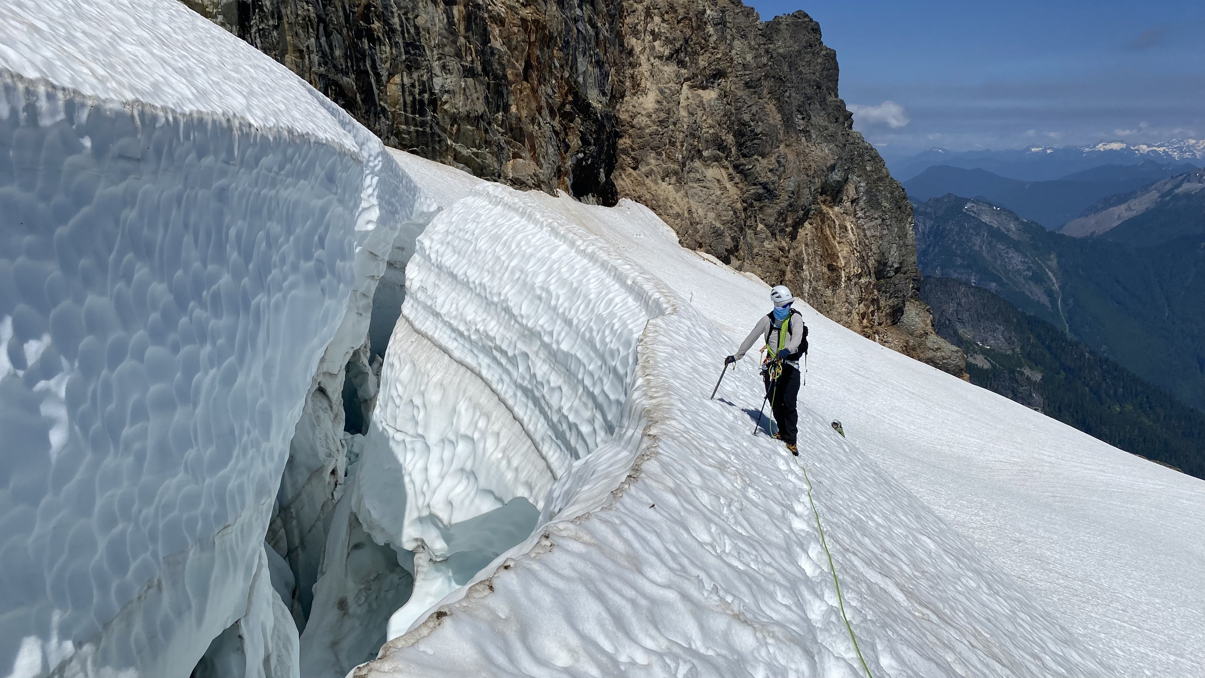
Quick TR for crevasse beta. The route in good shape. From the snowfield, you will want to ascend straight up and keep right, traverse directly below a large rock formation, zig-zag a few times to avoid the lower smaller crevasses, and just below the large one which opens (the main one in normal years I am told) keep just below it, use 2-4 pickets to secure and it should go just fine. The snow was in great condition. Everything felt solid on the snow. The corkscrew is completely snow-free to the summit scramble. Download our GPX from peakbagger.com for more details.
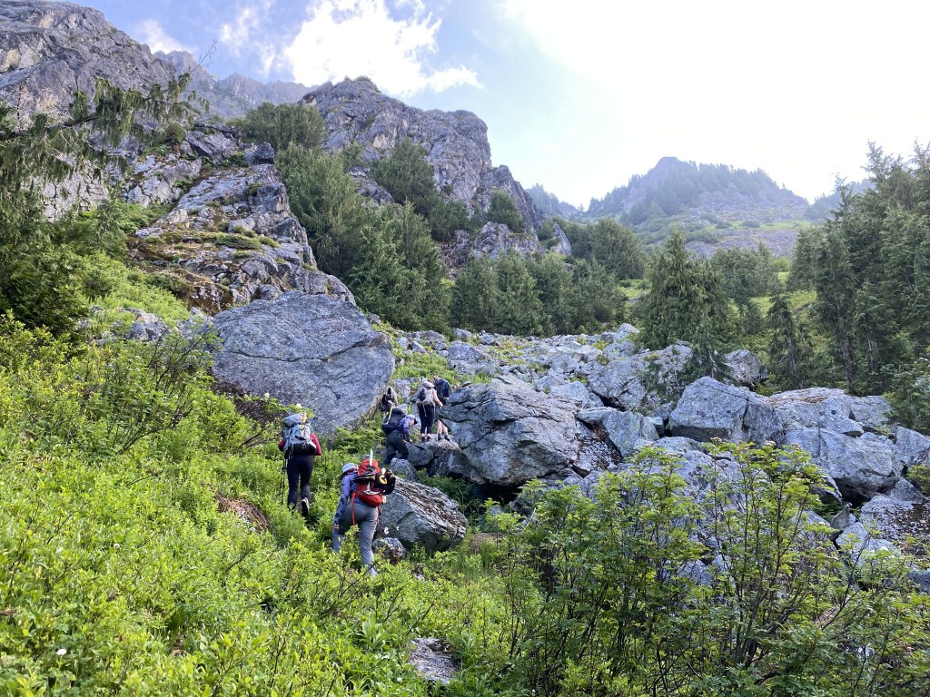
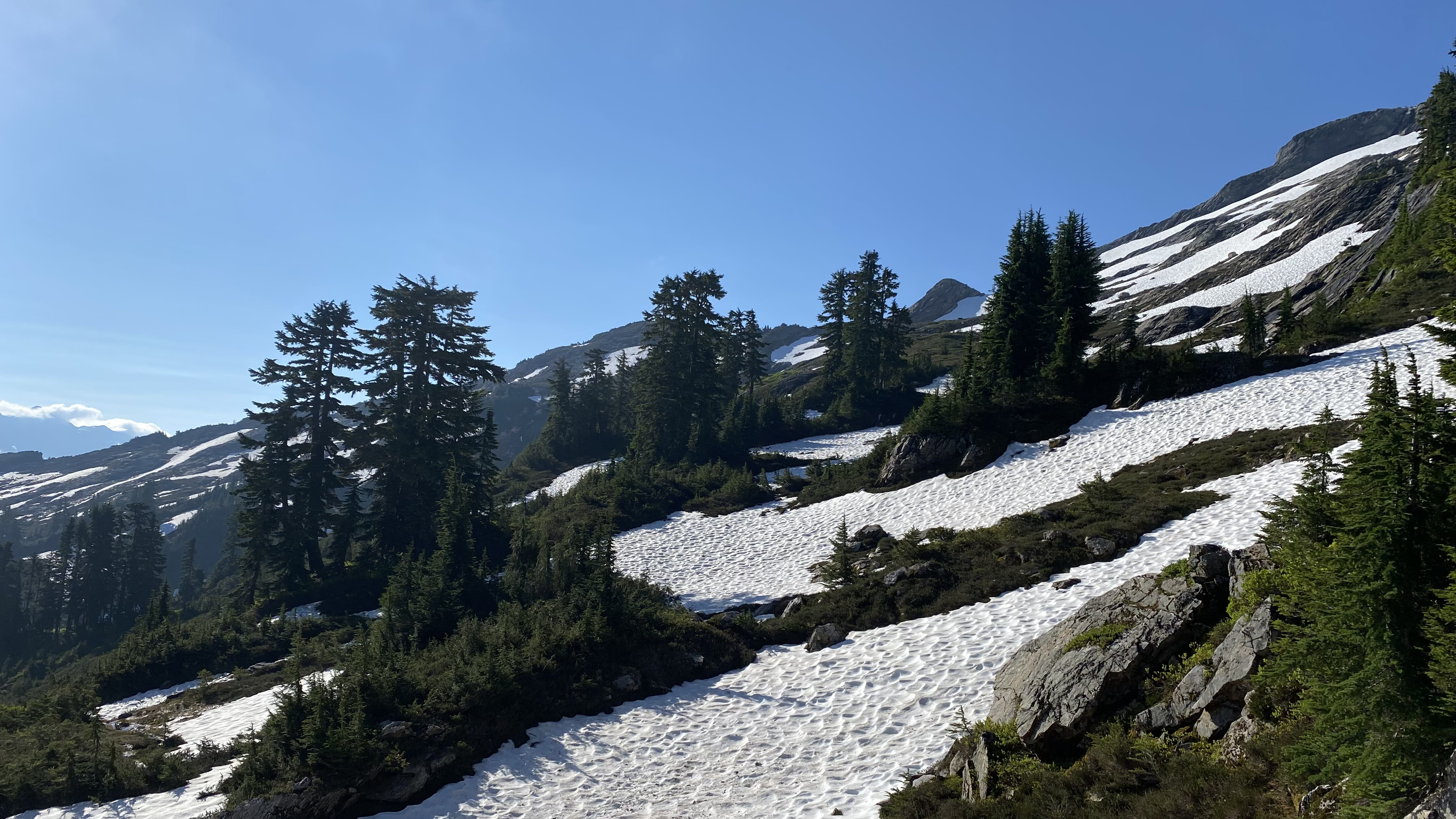
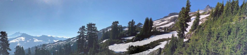
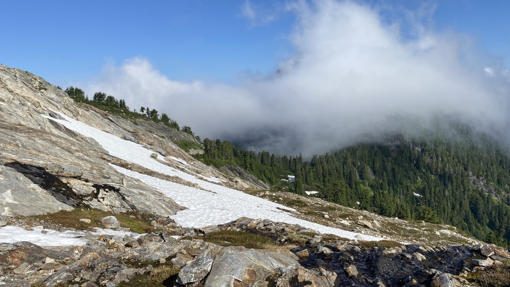
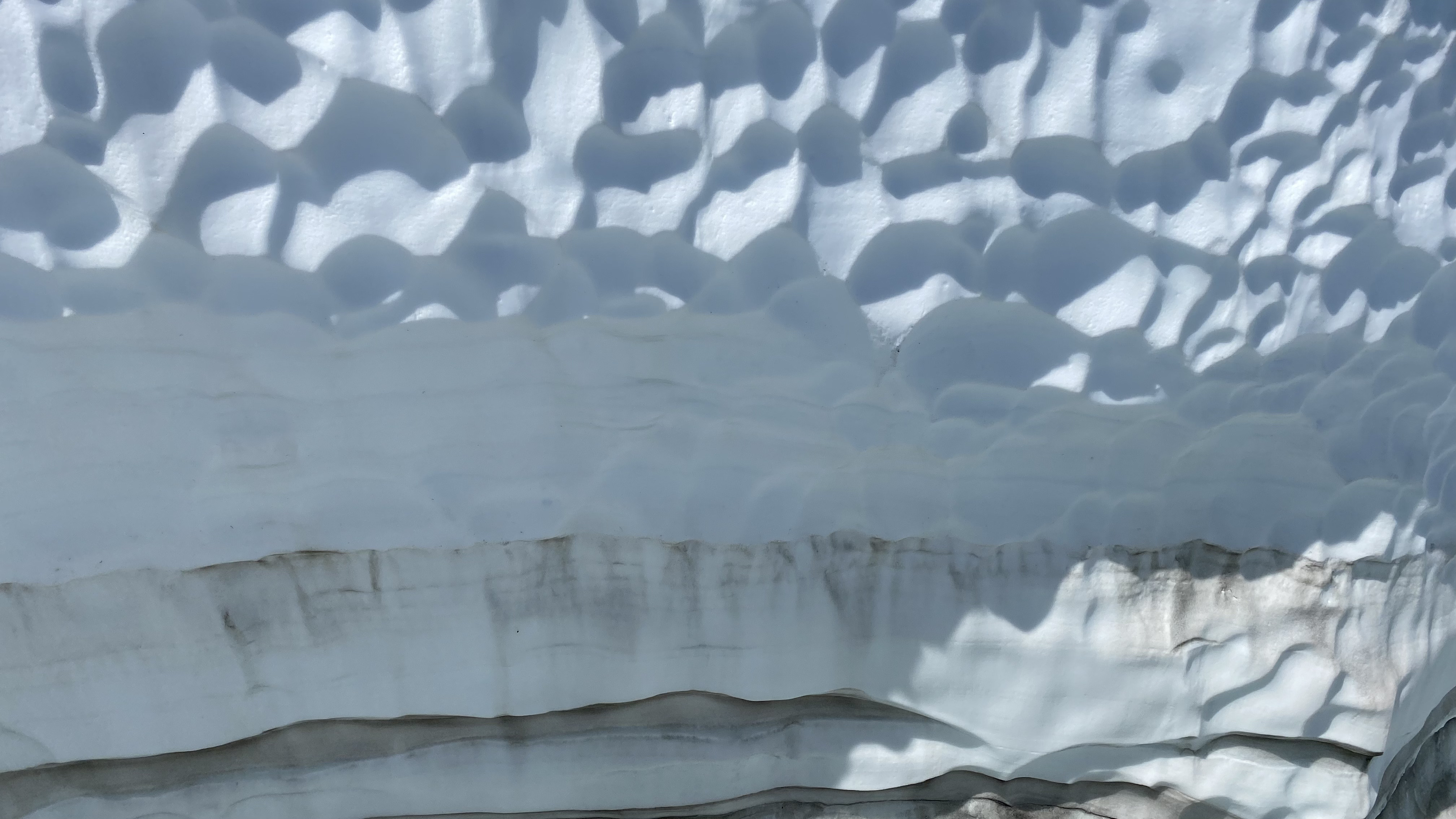
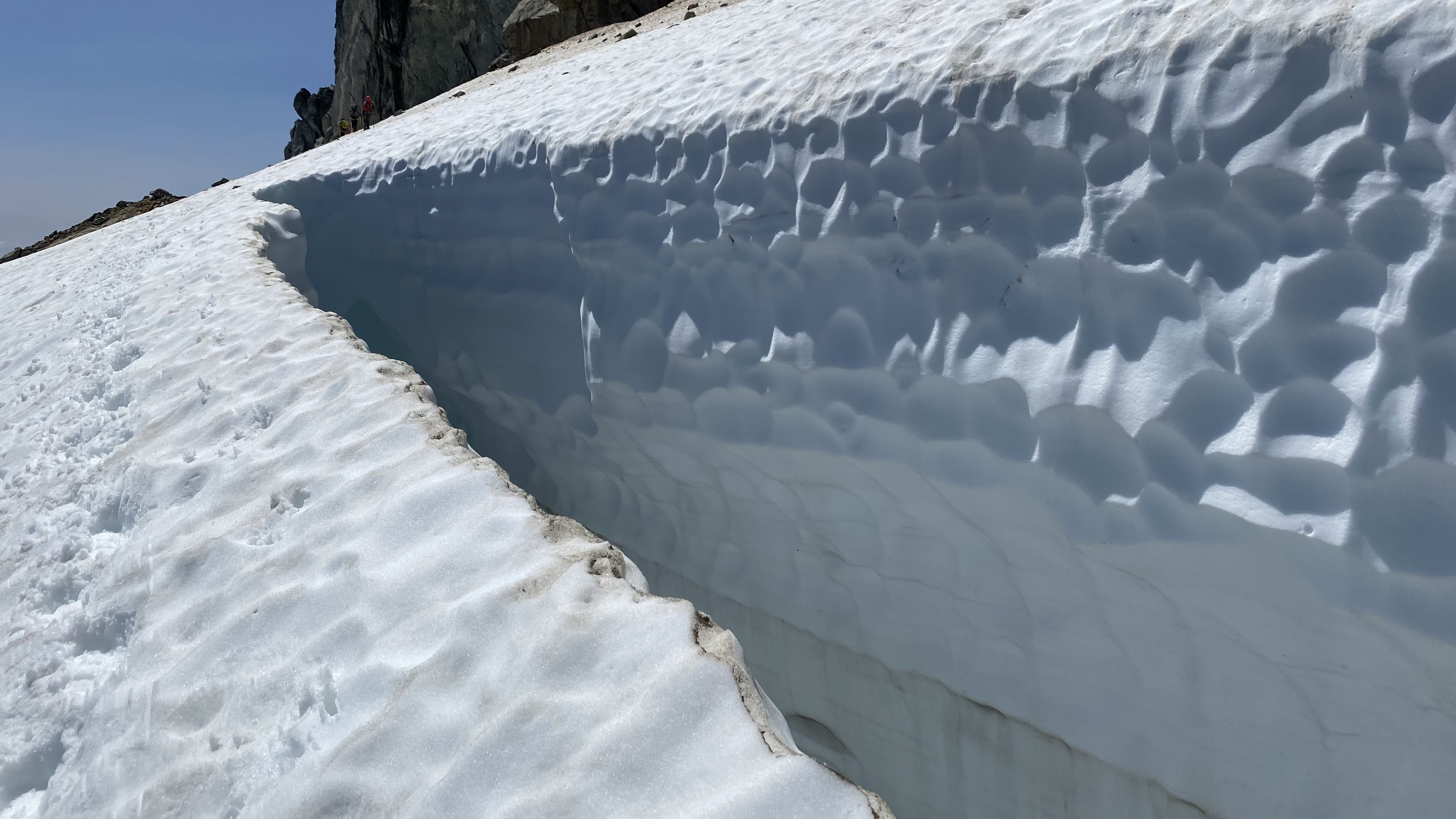
Other notes – Bugs – it was sultry, still, and humid. Bring spray and netting. Tons of blowdowns – terrible – I personally despise them as do my knees, the schwack from Bedal creek is legit (similar to Sorcery from the creek to Horseshoe Lake) – lots of pink flagging, but on the descent, keep traversing right as the tendency is to go straight down – as you see from our track we kelp losing the flagged route. I would advise long pants and a long-sleeved top. Blessedly the boulders open at 5000 feet to a beautiful alpine meadow traverse, to the saddle connecting with Cougar Creek – beautiful sub-alpine heather meadows and rock to gently ascend to the snowfields and glacier – last running water around 6000 feet from snowmelt – fill up or melt above. Snow ends after the glacier traverse at 7000 feet. Beautiful crevasses. Super airy walk up the corkscrew – one of the coolest trails I have hiked in the PNW. Scramble is fun, relatively “easy” with good holds – dirt is loose in places so watch your footing, especially on the descent. A couple of “exposed” moves to get to the summit – but good ledges and handholds make it manageable. Straight forward descent to a beautiful afternoon setting sun and amazing scenery.
And now for my story.
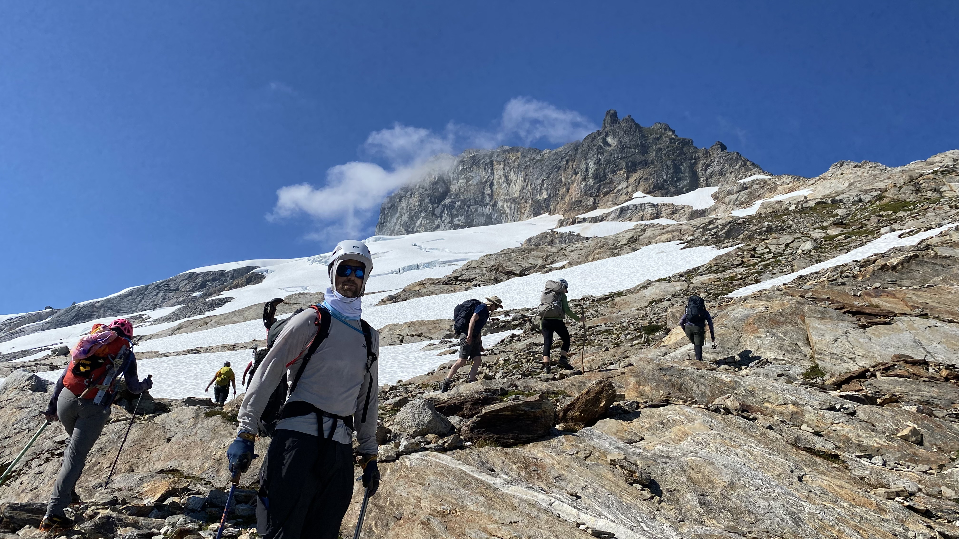
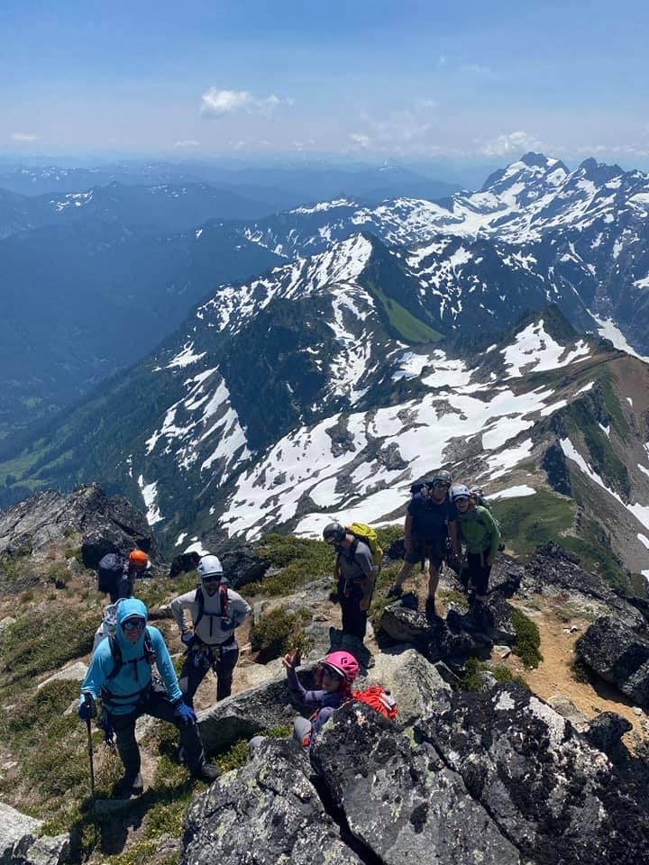
Mel plans a series of climbs with folks from many different social and climbing circles. We had a team of 8 in our crew – Mel, Jamie, Ethan, Jesse, Shannon, Enji, Benson, and myself. I was fortunate to be considered for this trip, maybe because I have swag, or unintentionally leave gear on mountains – a treasure trove of kit for those lucky enough to find my lost items. However I had a conundrum as Mel is very selective, and I did not want to leave my main climbing partner Benson behind, as we had just summited Adams the weekend prior and many other peaks this year, so I requested if Benson could join. Now realize Benson had recently completed some crevase rescue classes, and has more fresh skills in this domain than I do at present, so I thought he would be a great addition – plus it meant he and I would be a two person rope team (three is ideal) – so his skills and experience were paramount to mitigating risk on our climb (at least for me – if Benson fell, we would be screwed – not really, but somewhat).
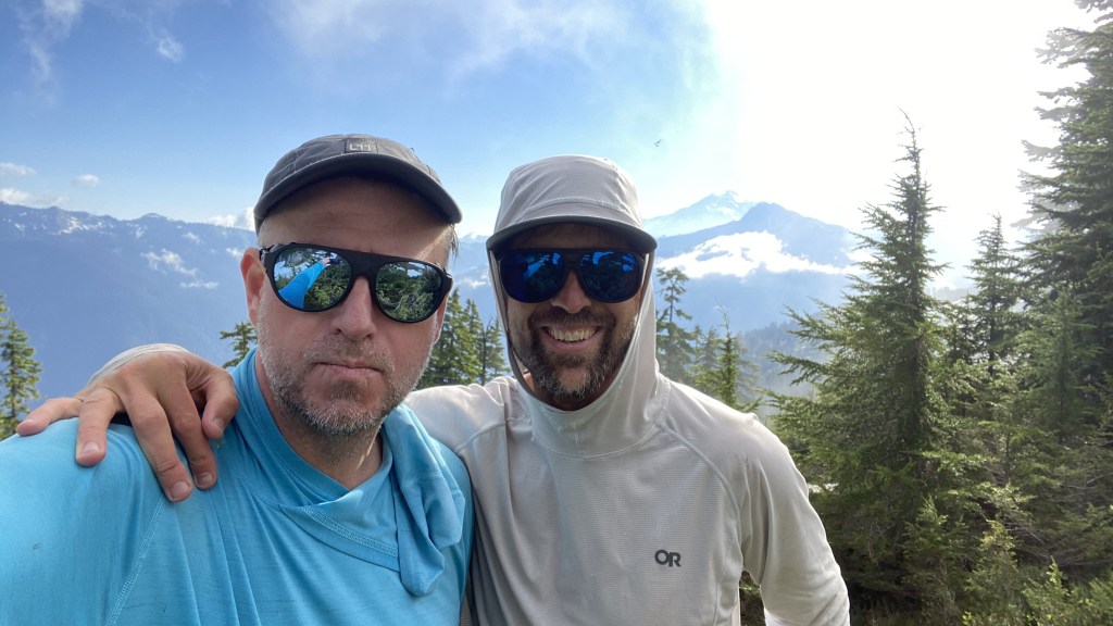
Upon arriving at the trailhead and setting up camp, we had a chance and surprise meeting with John Porter, aka #onehikeaweek – super fun to meet John finally on a trip. John opted for a more interesting route up and we re-met on the summit.
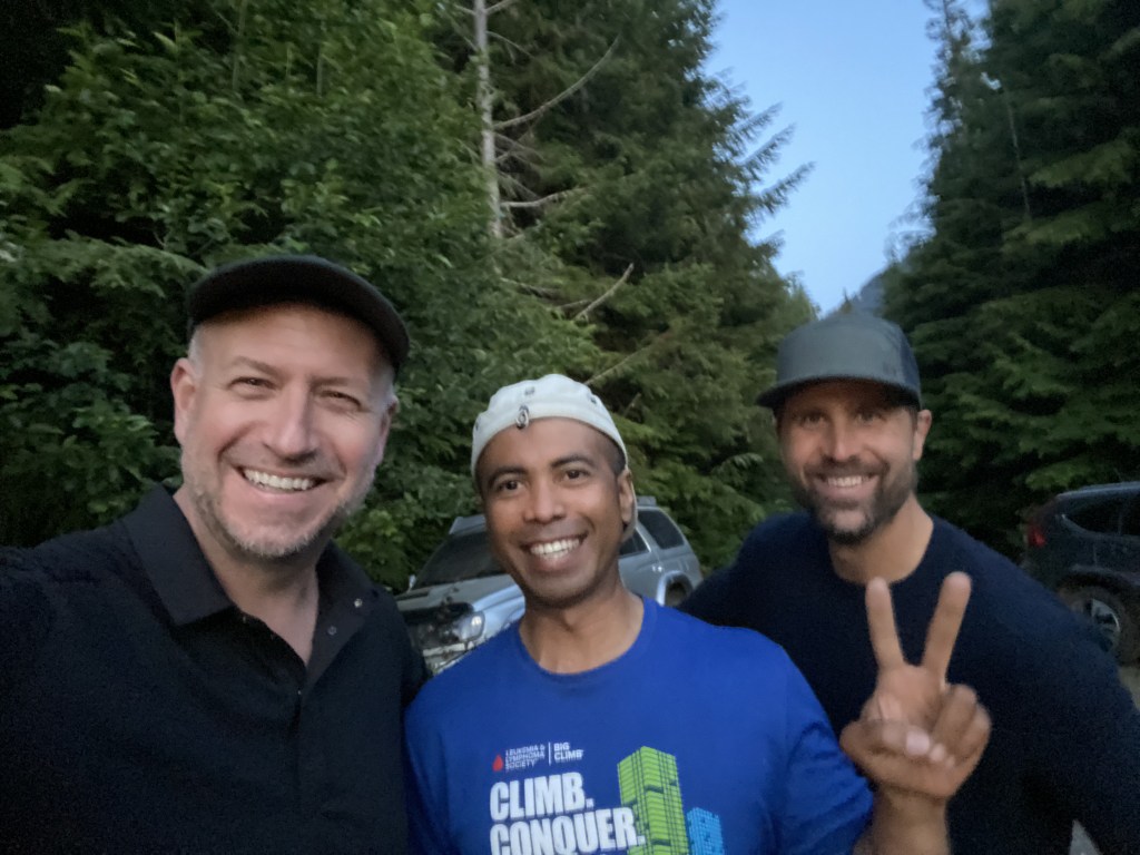
I’ve been a big fan of John Porter over the years. I first came across him on Washington Trails Association and his many prolific trip reports as johnwporter, and finally connected the dots with his other online presence – One Hike a Week, https://onehikeaweek.com/. Like many accomplished mountaineers, John is very humble, and very accomplished, summiting the Bulgers – the list of the tallest 100 mountains in Washington State as a benchmark, the T200 – the 200 tallest mountains with 400 feet of prominznce, etc. Let’s just say it was serendipitous and fun to finally meet someone you highly respect in a field of passion and pursuits.
The Bulgers – it was not until 1975 when the USGS finally published the 1:24,000 maps for the Paysaten Quad that the high points of Washington were finally formally identified. There is a great history on the list and the people who comprised the initial group, each with an animal name/persona spelling out BULGER. I will not attempt to rewrite the history, but share links for those not familiar with the list, history, or why its of interest and an obsession for so many peakbaggers. I had the fortune in 2010 of meeting John Roper, one of the original Bulgers in a chance meeting with BSA Troop 626 in Bellevue while scouting a hike up Mount Washington. He was gracious enough to share his experience and advise, and also let me know that Black Peak (a Bulger) was a real mountain, and his dog Daisy climbed it. Now I had some inspiration, motivation, and a goal of climbing as well as a dog!
https://www.peakbagger.com/list.aspx?lid=5003
http://www.rhinoclimbs.com/bulgers.html
http://www.rhinoclimbs.com/Top100xP400.htm
As we settled in for the evening, Mel planned a 3:30 AM wake up and 4:30 AM hard start as there was another group of climbers at the trailhead, planning a 5AM start and we wanted to get a head start and not follow them up the mountain. Most folks opted to camp in their cars. Benson and I would not fit in the 4Runner, so we pitched a tent with a plush 4″ mattress and ample sleeping beds and quilts – two from Montbell, our current favorite gear provider. I figured I may get 5 hours of sleep. Benson snores. After 1 hour of restless sleep, the 3:30 AM alarm sounded. Terrible. I do not climb particularly well with lack of sleep, but it is what it is. Fortunately I brewed several cups of coffee the day before which remained warm in the thermos, so at least we had a somewhat civilized start.
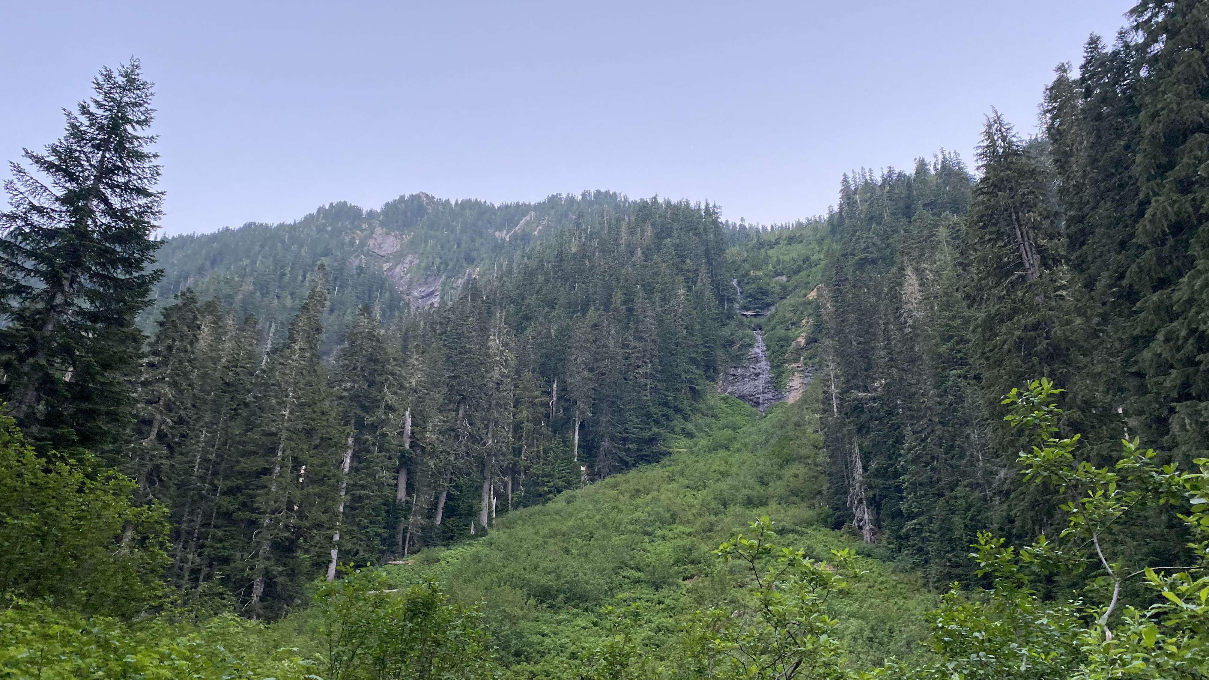
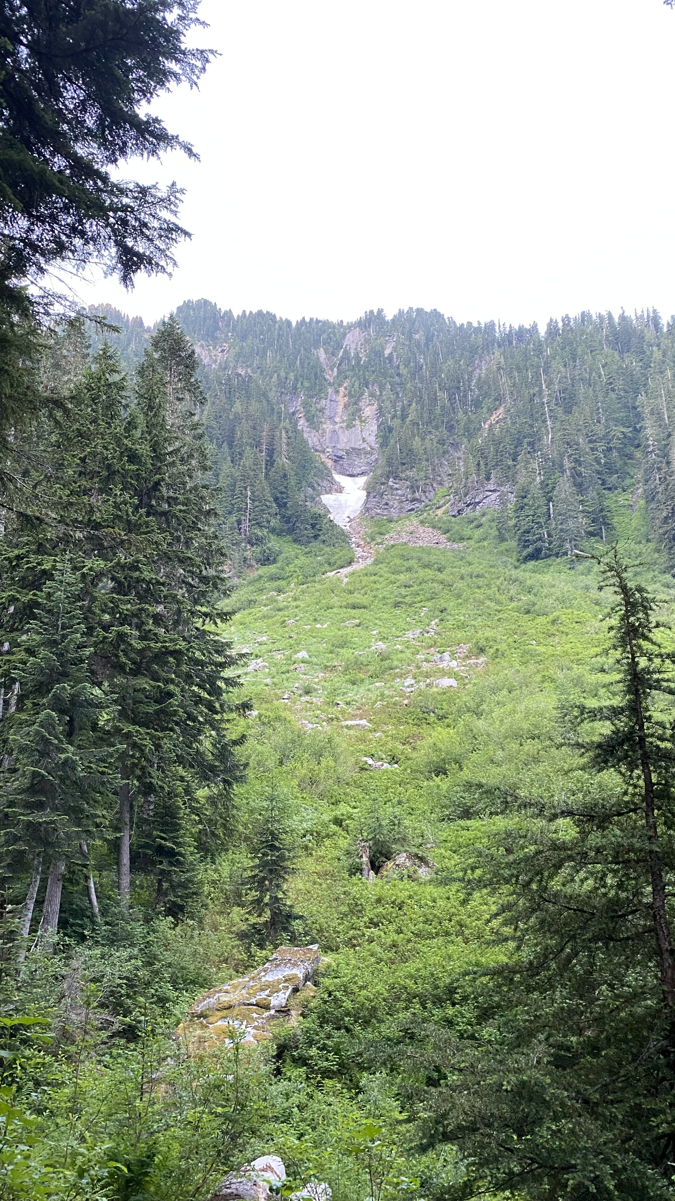
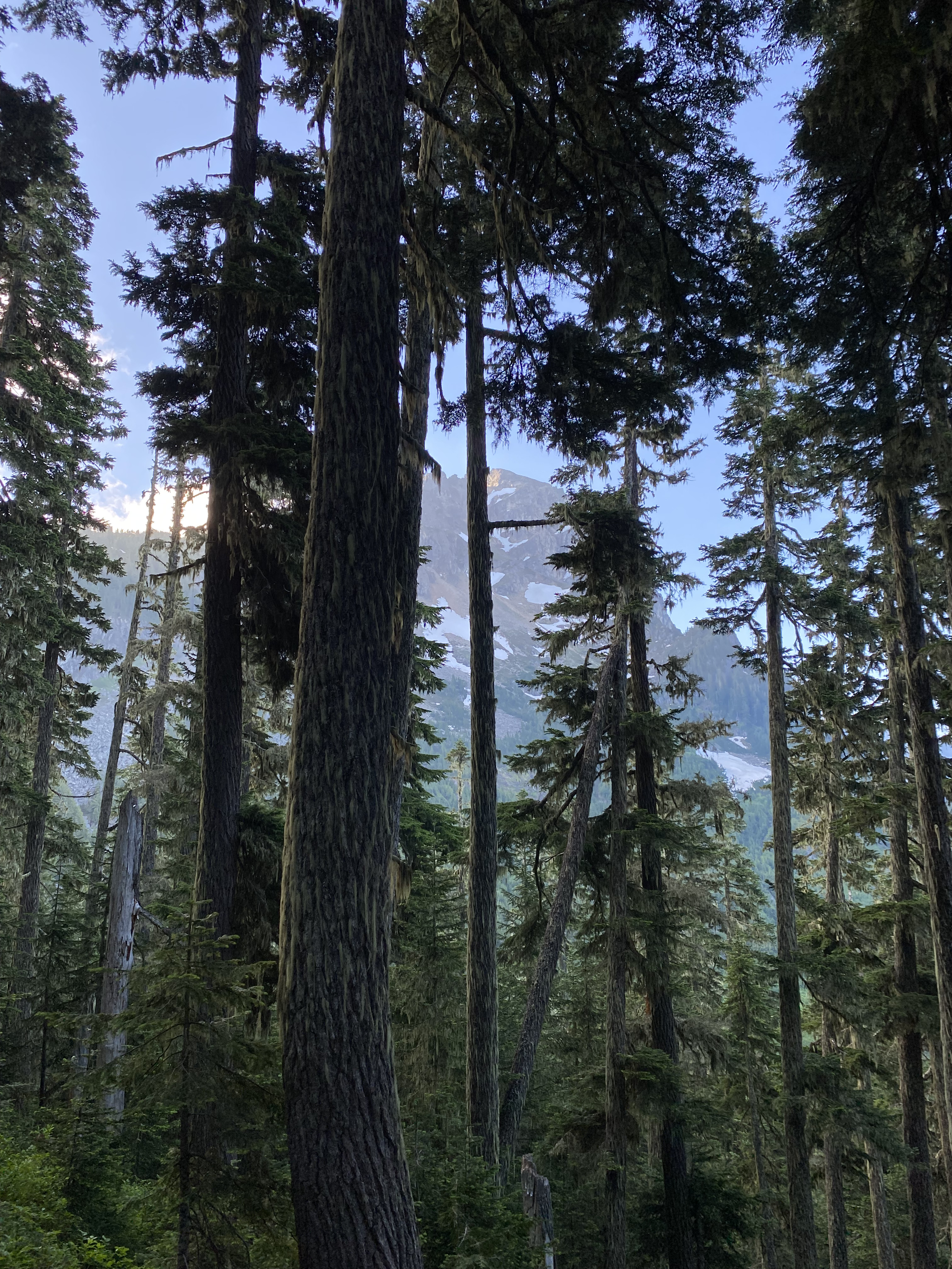
We hit the trail at 4:45 AM. John joined us for the initial hike as he planned a more direct route up the south face and planned to meet us at the summit. We moved at a fast pace out of the gate, in warm and humid weather – I was sweating profusely, especially with the pace. We followed the trail along Bedal creek, and were moving through terrain that alternated between canopied forest with many large cumbersome blowdowns and thick salmon berry foilage which obscured our footing and led to few stumbles on my part.

This was a fast crew, led by Benson, then myself and I was struggling to keep pace. After a mile and a half and a few times on my face in the dirt after finding hidden rocks on the trail, I opted to take a break as the others passed me by. After a couple of minutes, I heard voices, preseumably from the other climbing party and thought I had better get moving or Mel would get on me for letting the other group catch up. I was pleasantly surprised to see Mel and Ethen. They joined me at a more civilized pace for the temperature and grade, and we made our way to the uphill cutoff for the bushwhack – aka The Schwack!
The Schwack
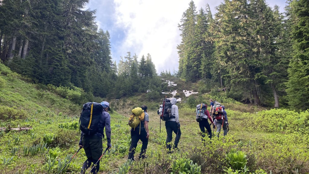
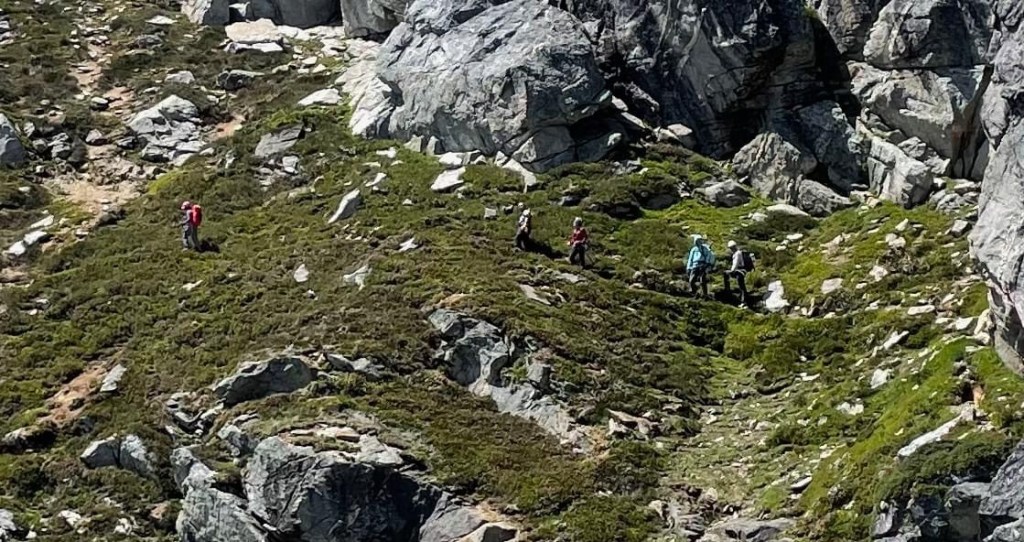
The Schwack is off trail route through bushes, forest, foliage, blowdowns and all manner of trip inducing fun. We were fortunate in that Mel has done this route previously, we also downloaded a GPS navigation route from another parties trip last week, and some kind soul flagged the route with pink survey tape. The path was roughly 1500 vertical feet of steep boot path, often on loose dirt, and through thick brush.
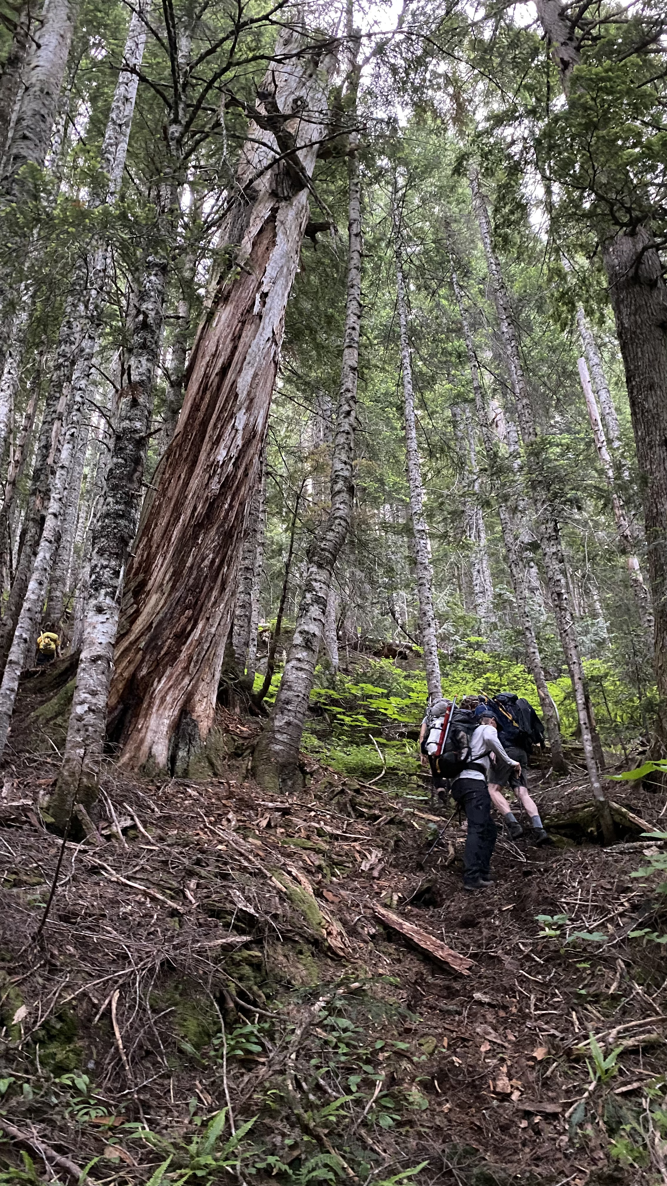
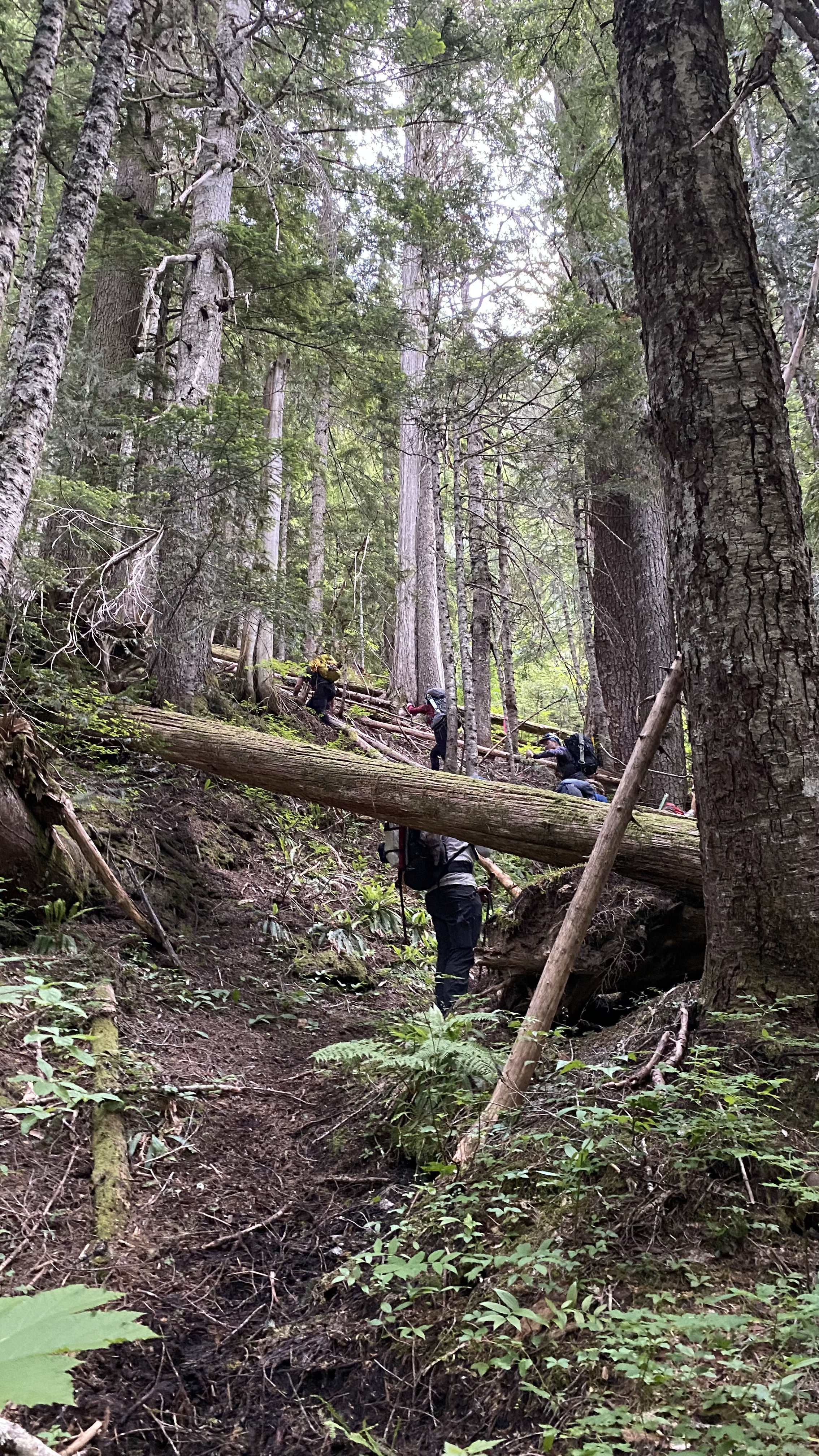
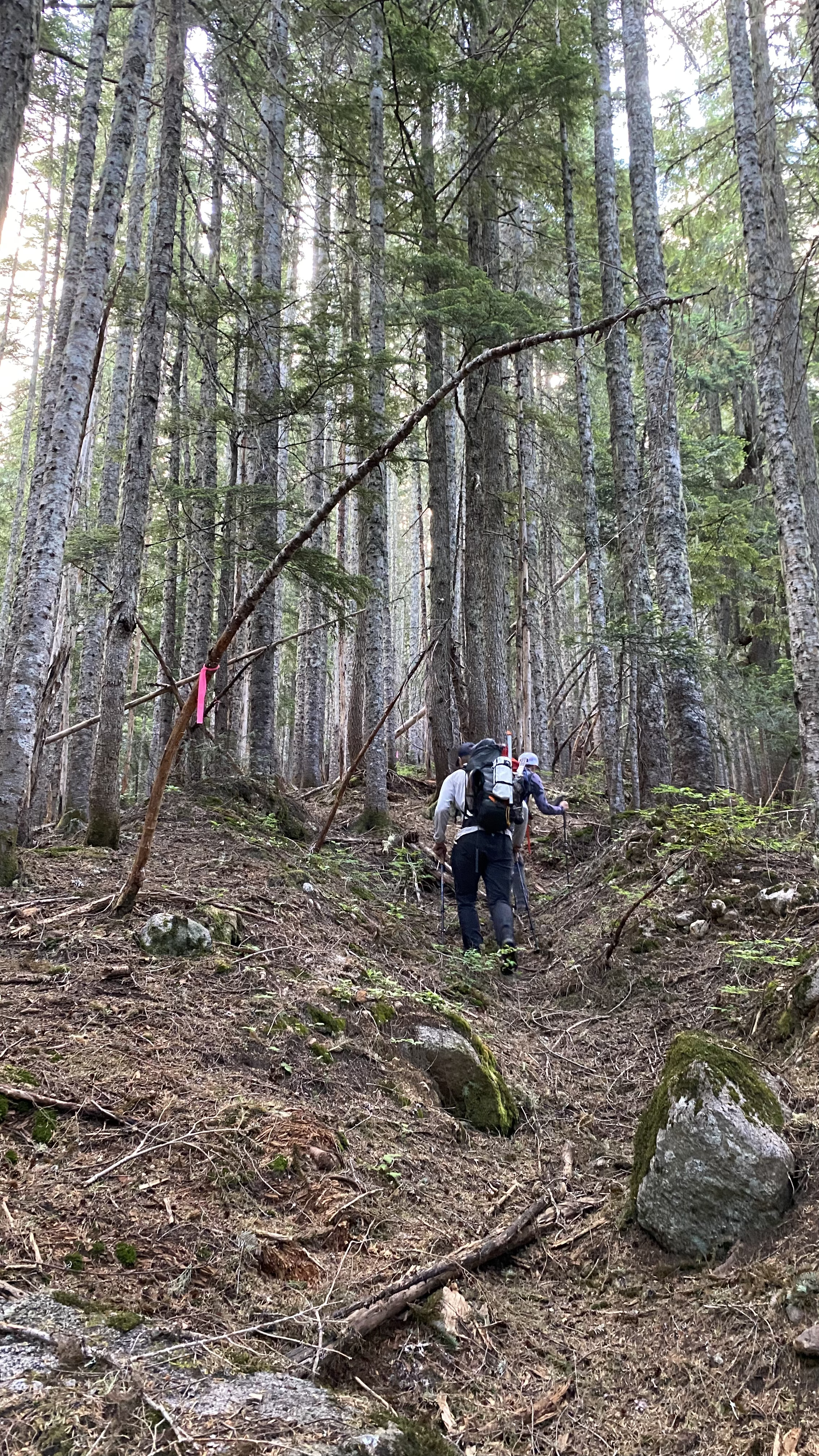
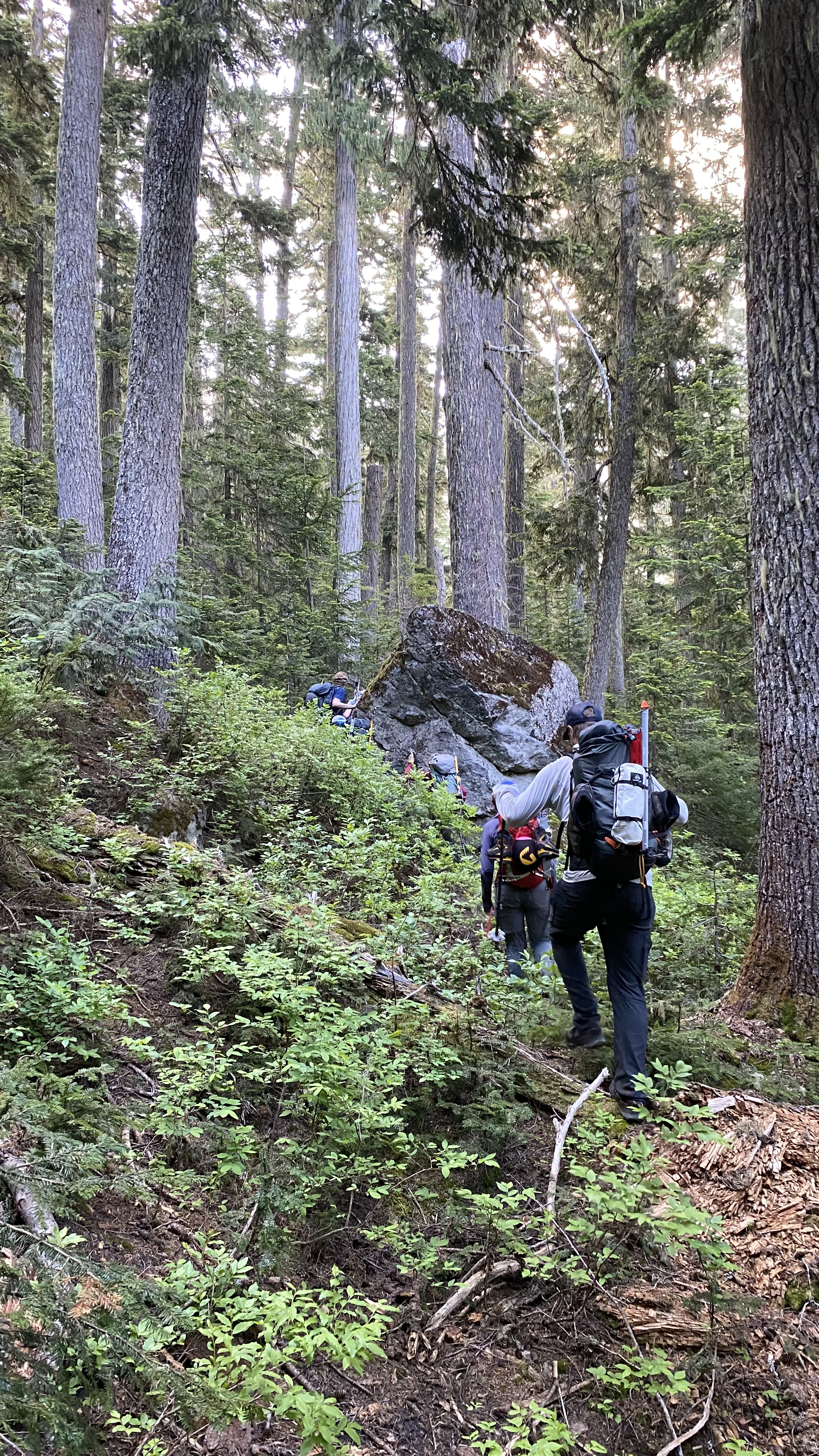
After nearly two hours of Schwacking, we finally saw Sloan Peak peering through the trees and came out on the boulder field, above the Schwack line and into the open. The only drawback was that the bugs were out in full force. We applied bug spray, donned netting, and swatted away!
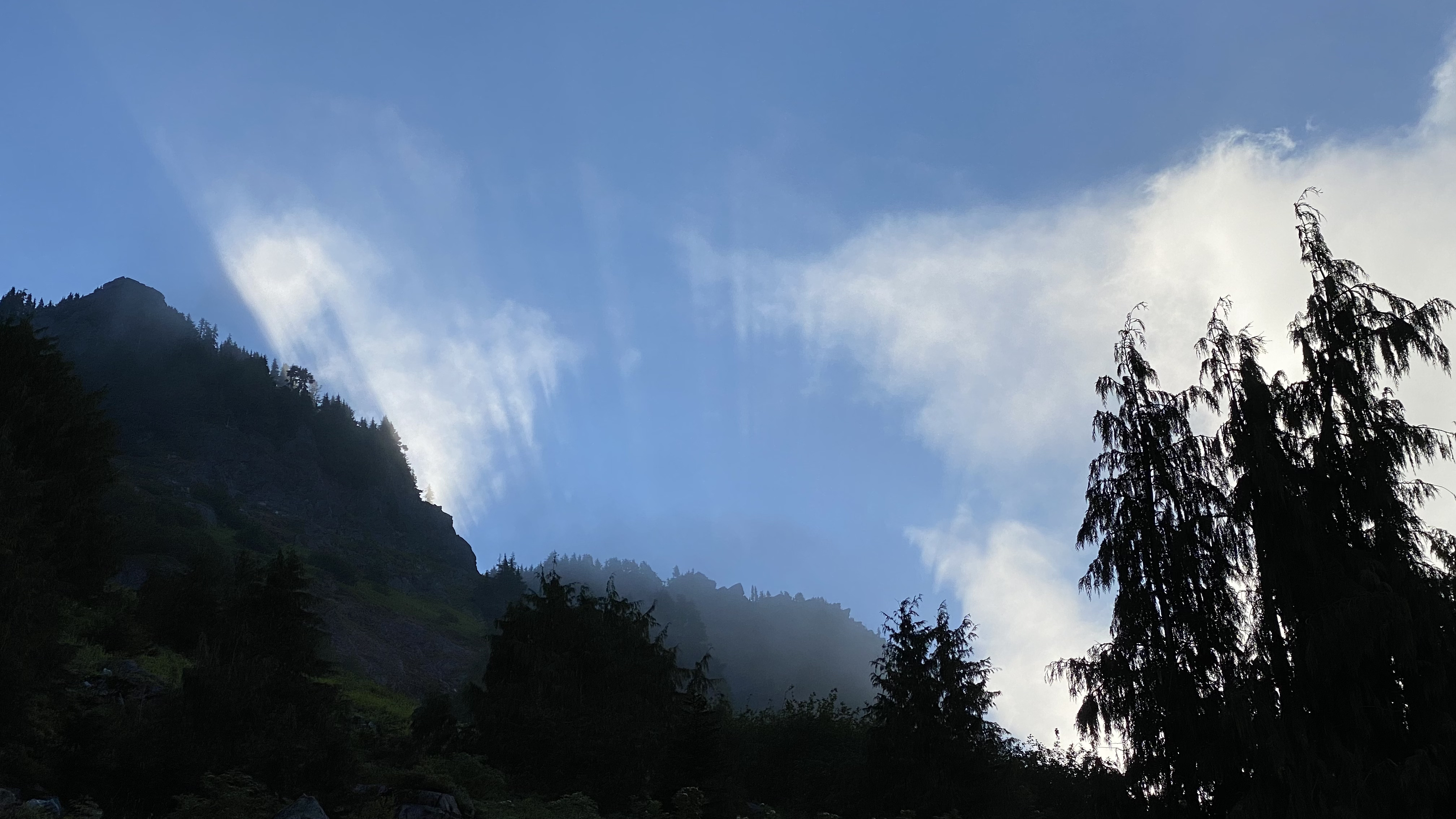
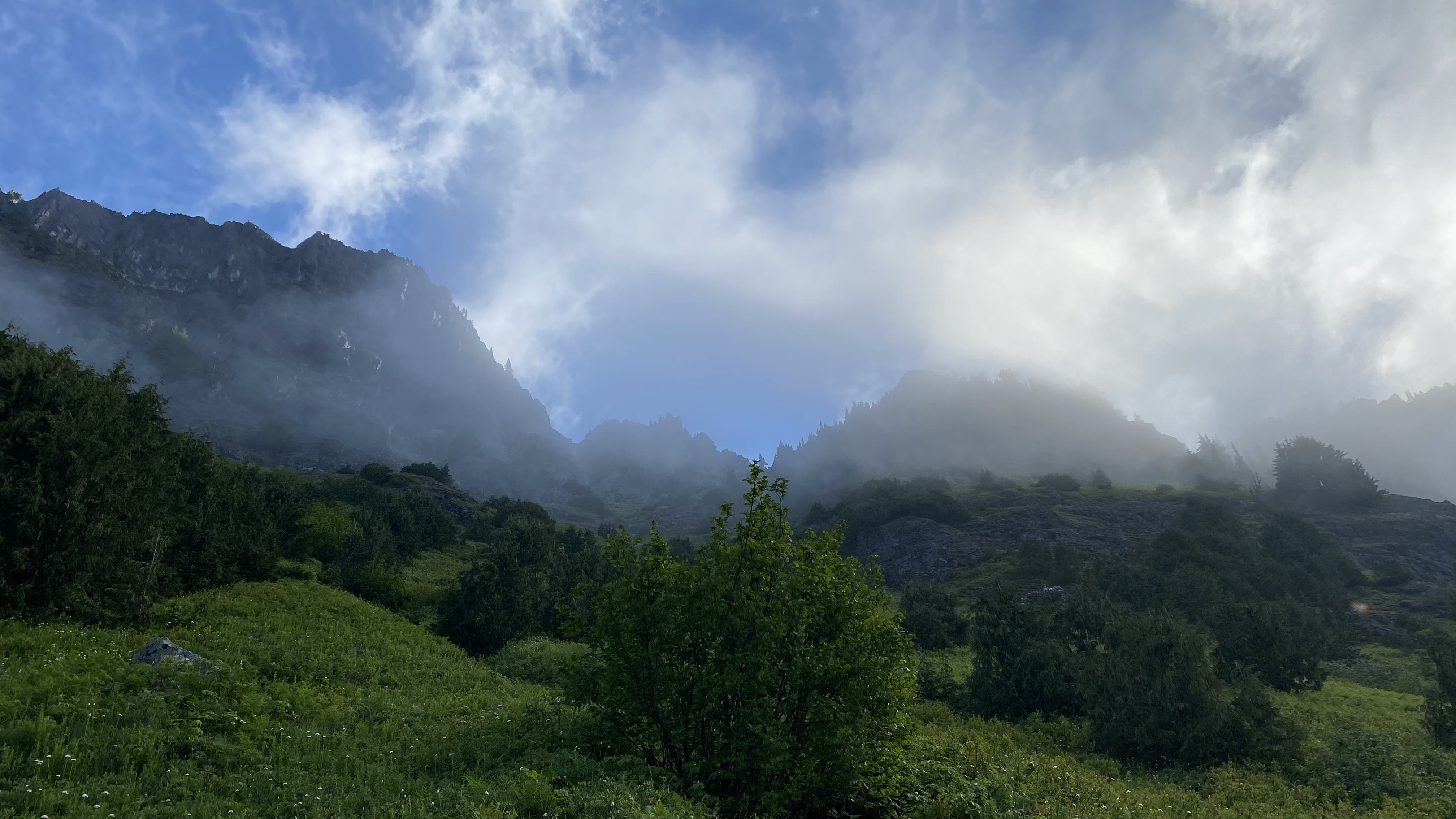
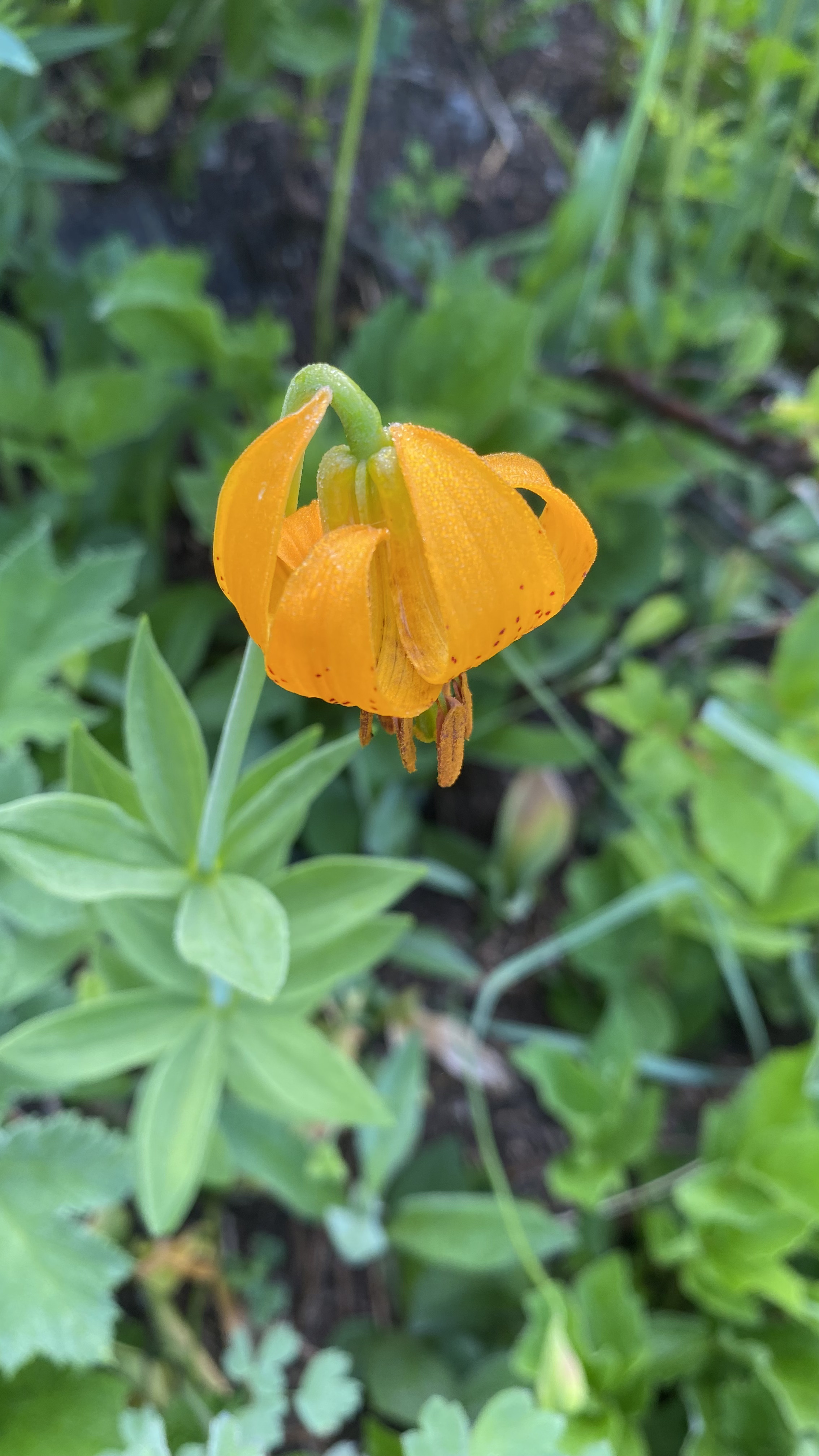
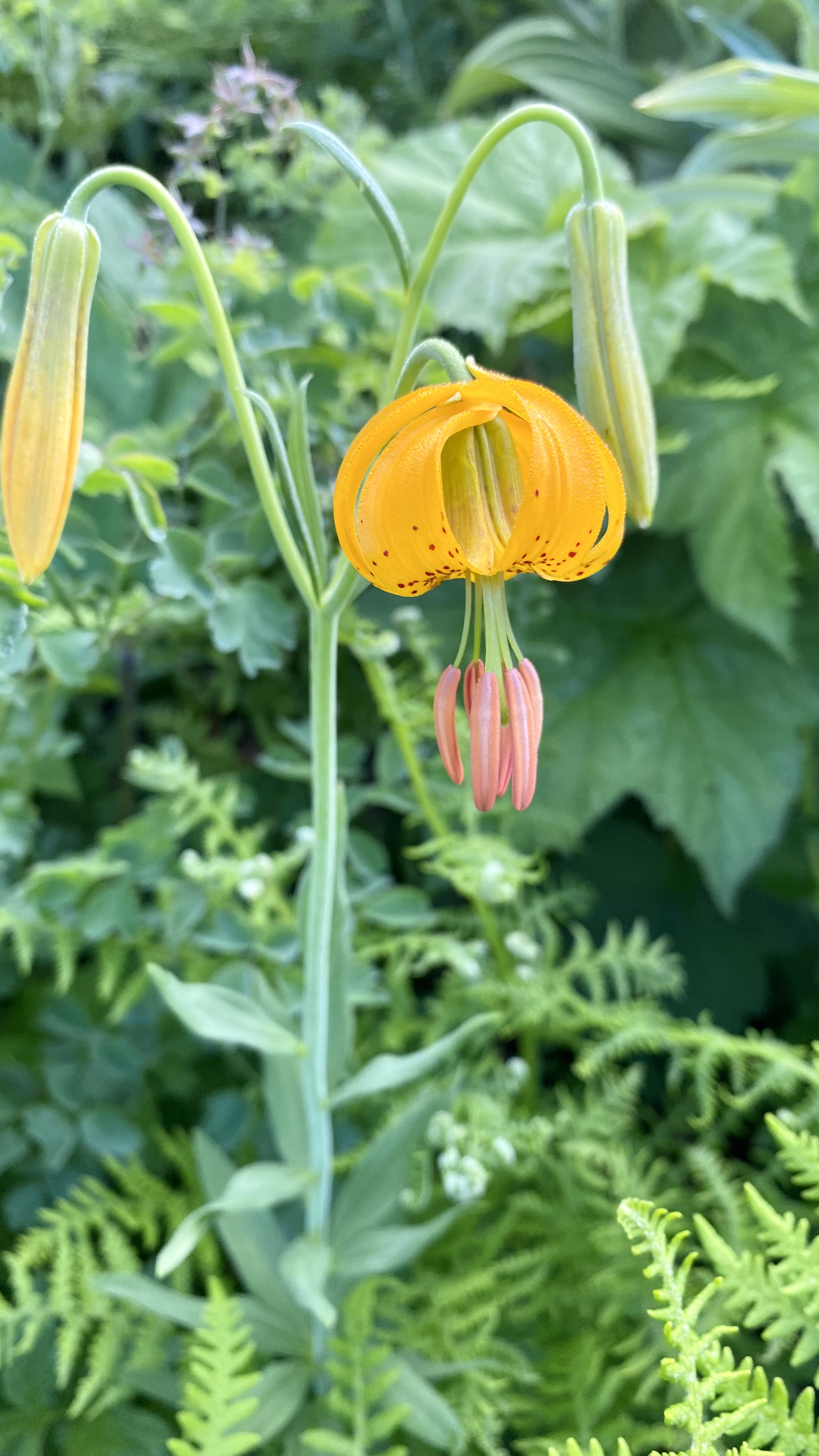
The pathway opened into a beautiful alpine meadow and traversed across a beautiful carpet of wildflowers. Tiger Lillies were in bloom along with some Indian Paintbrush and other flowers. The sun was casting heavenly rays above the ridge through diaphanous cloud patterns, setting the stage for a perfect alpine climb.


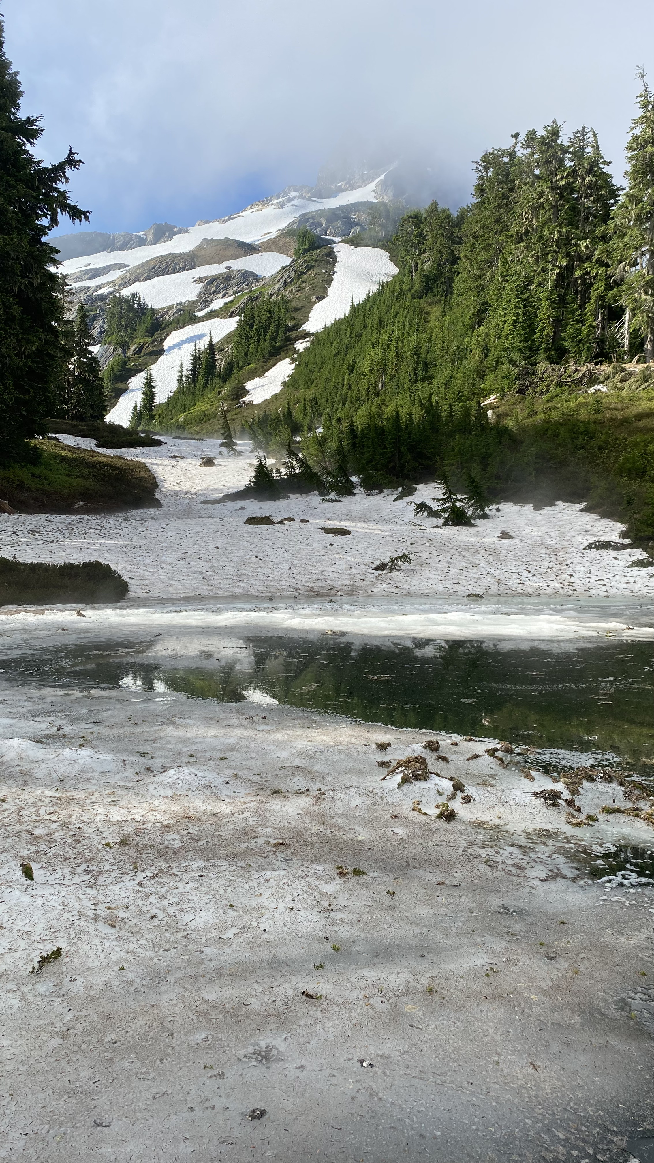
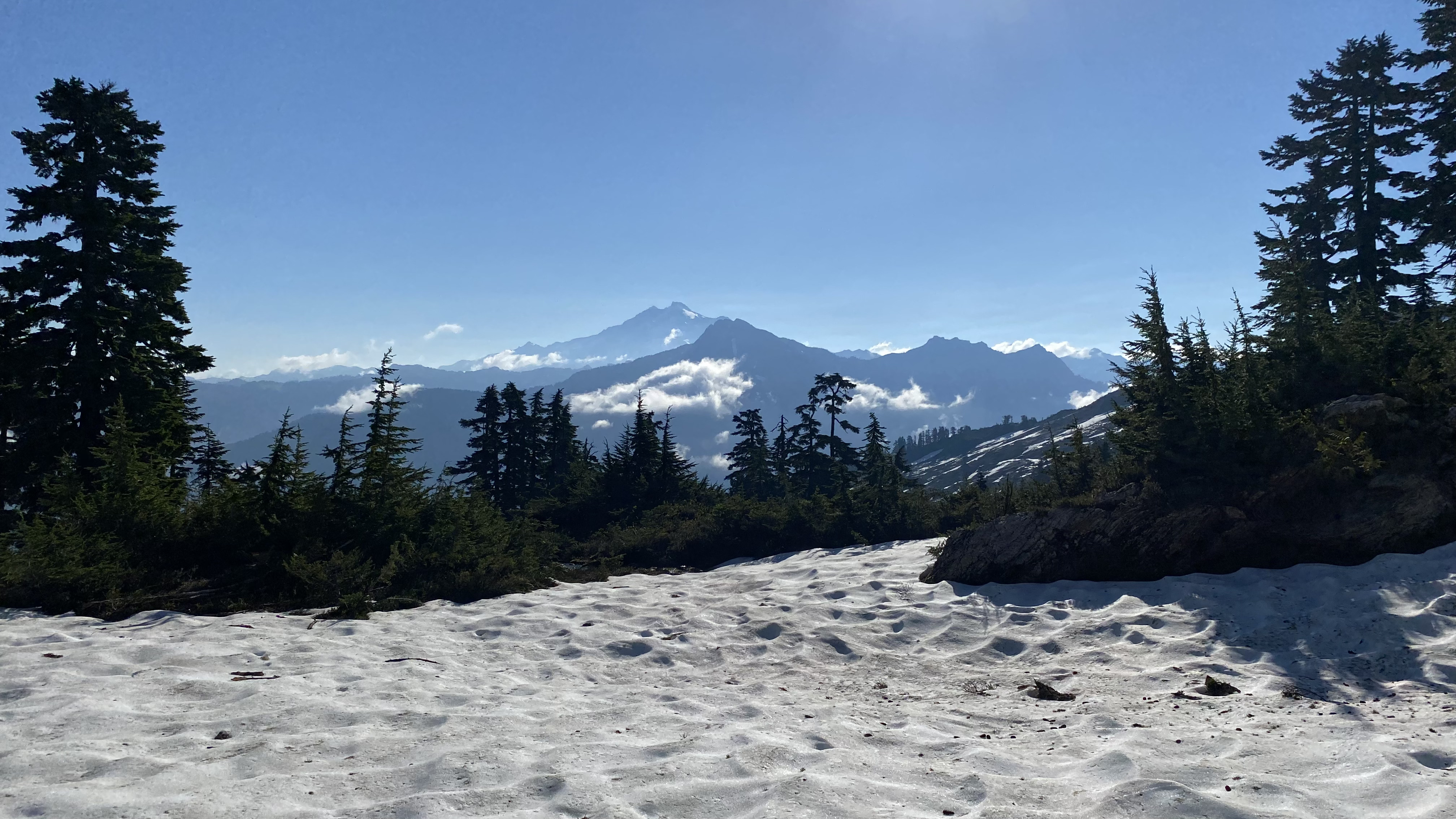
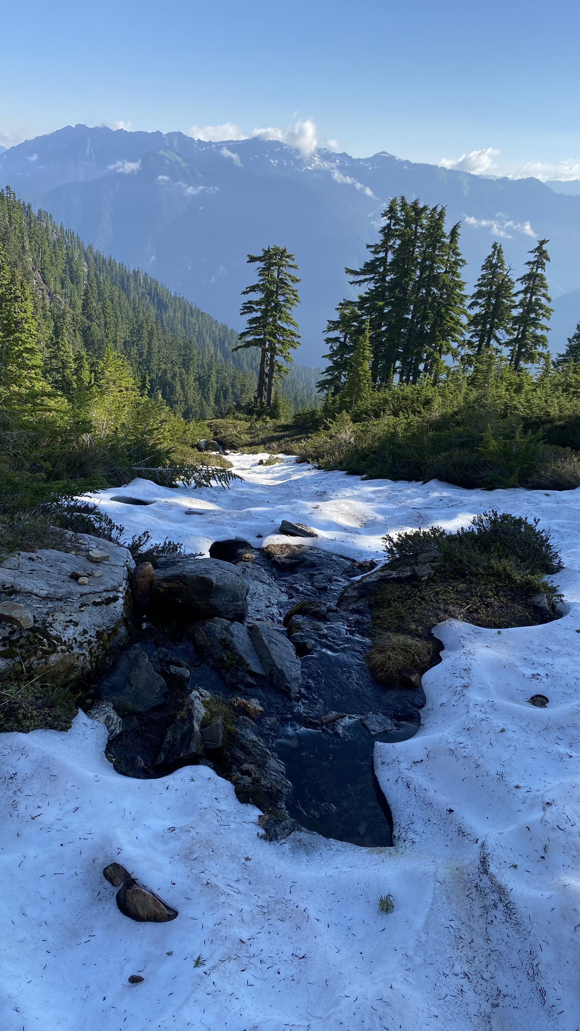
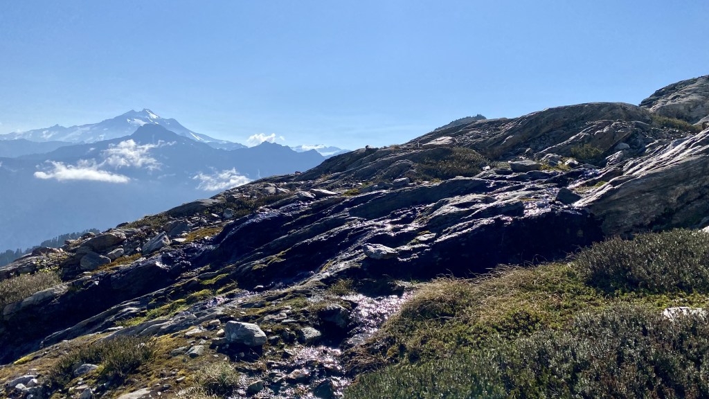
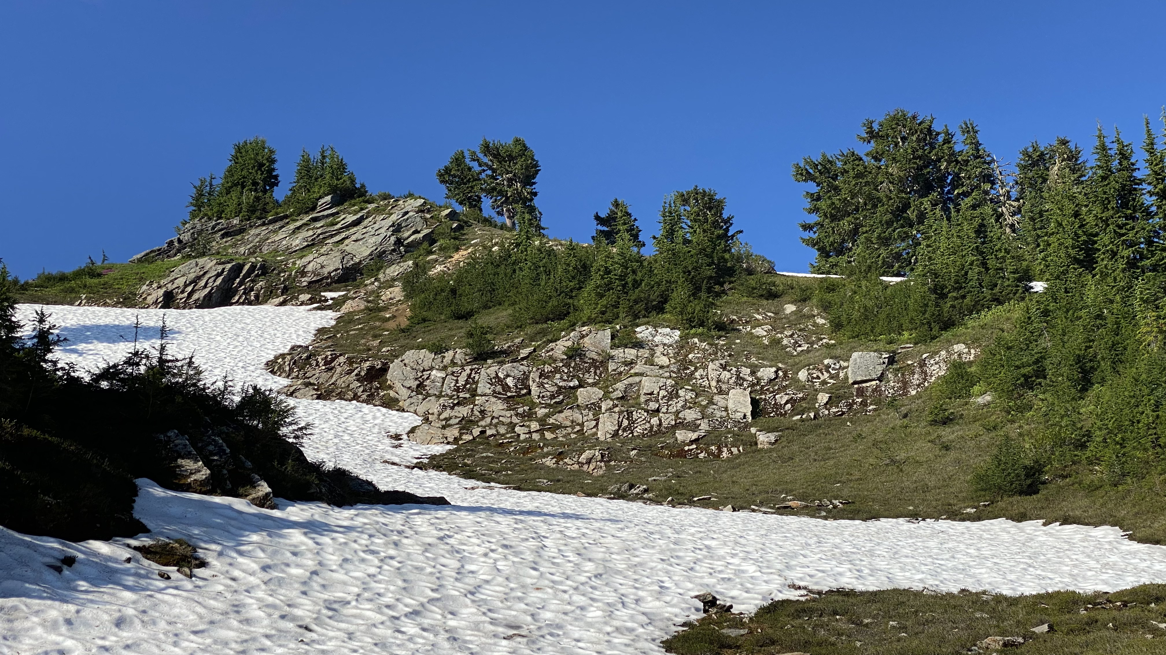
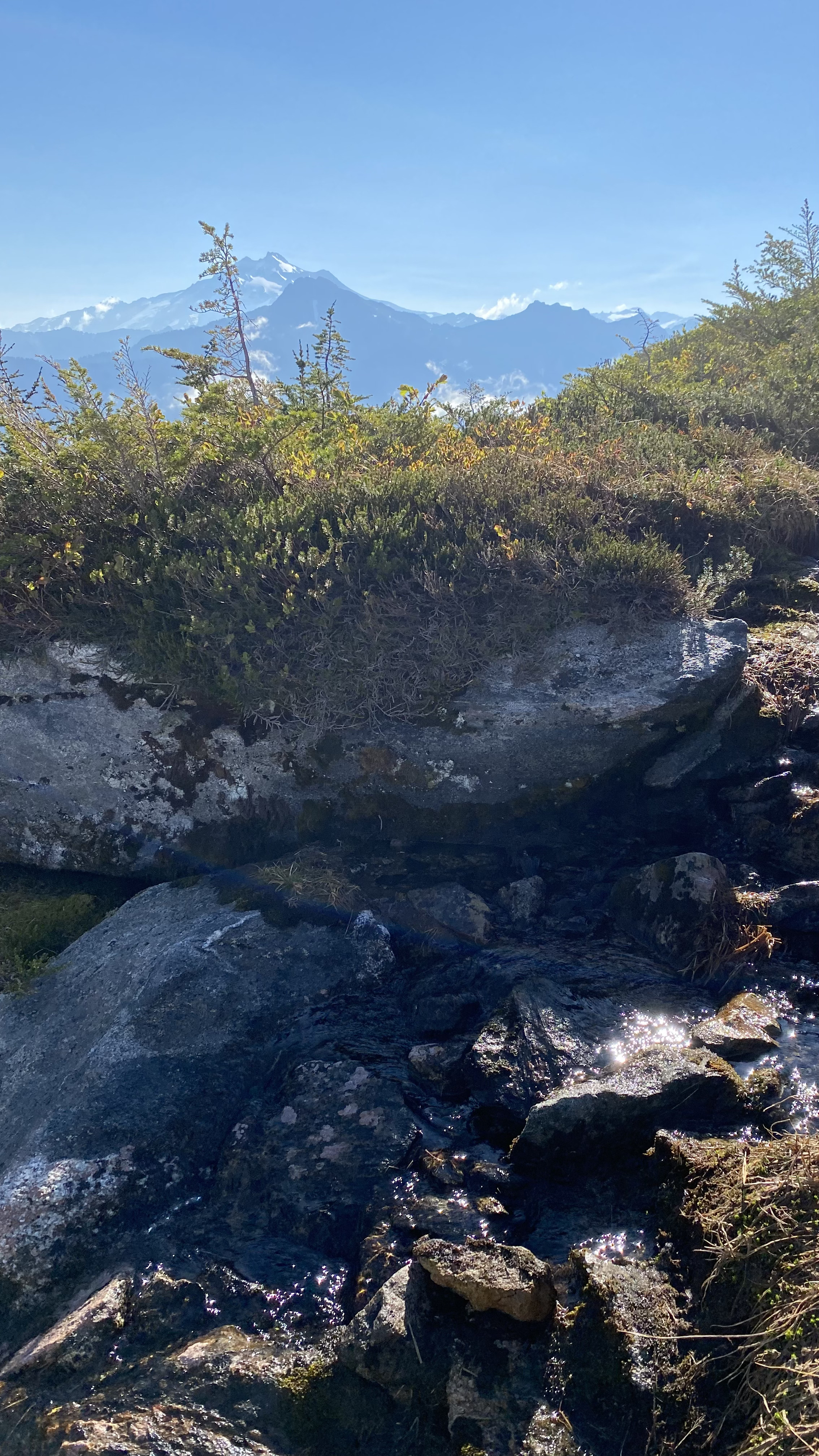
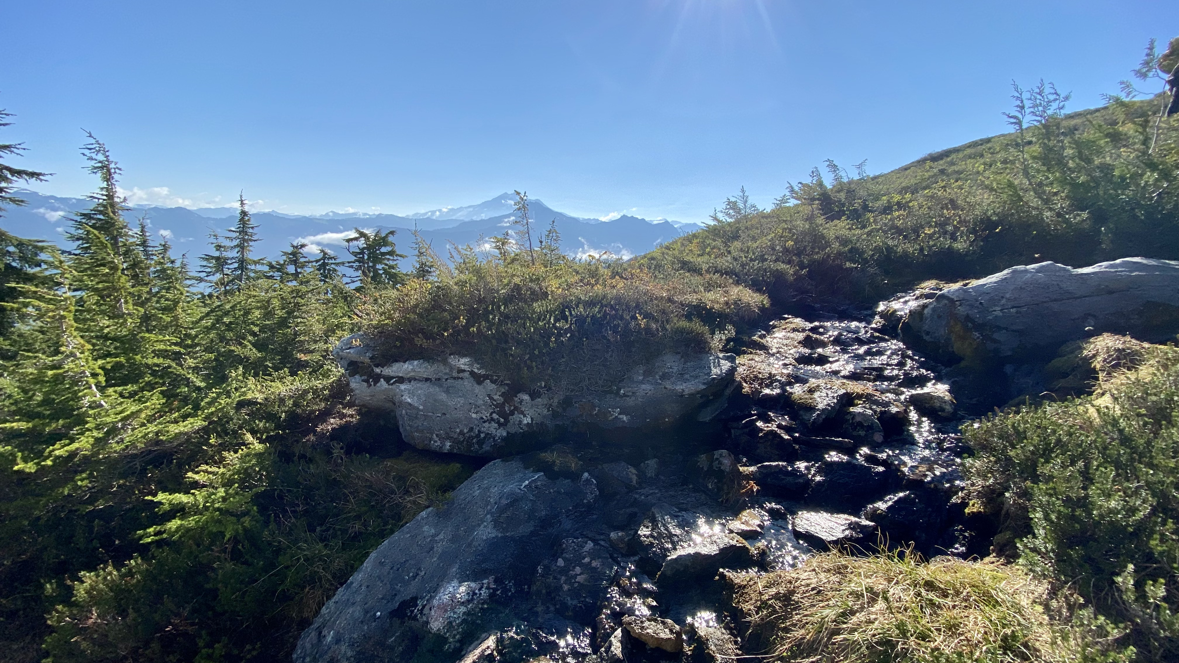
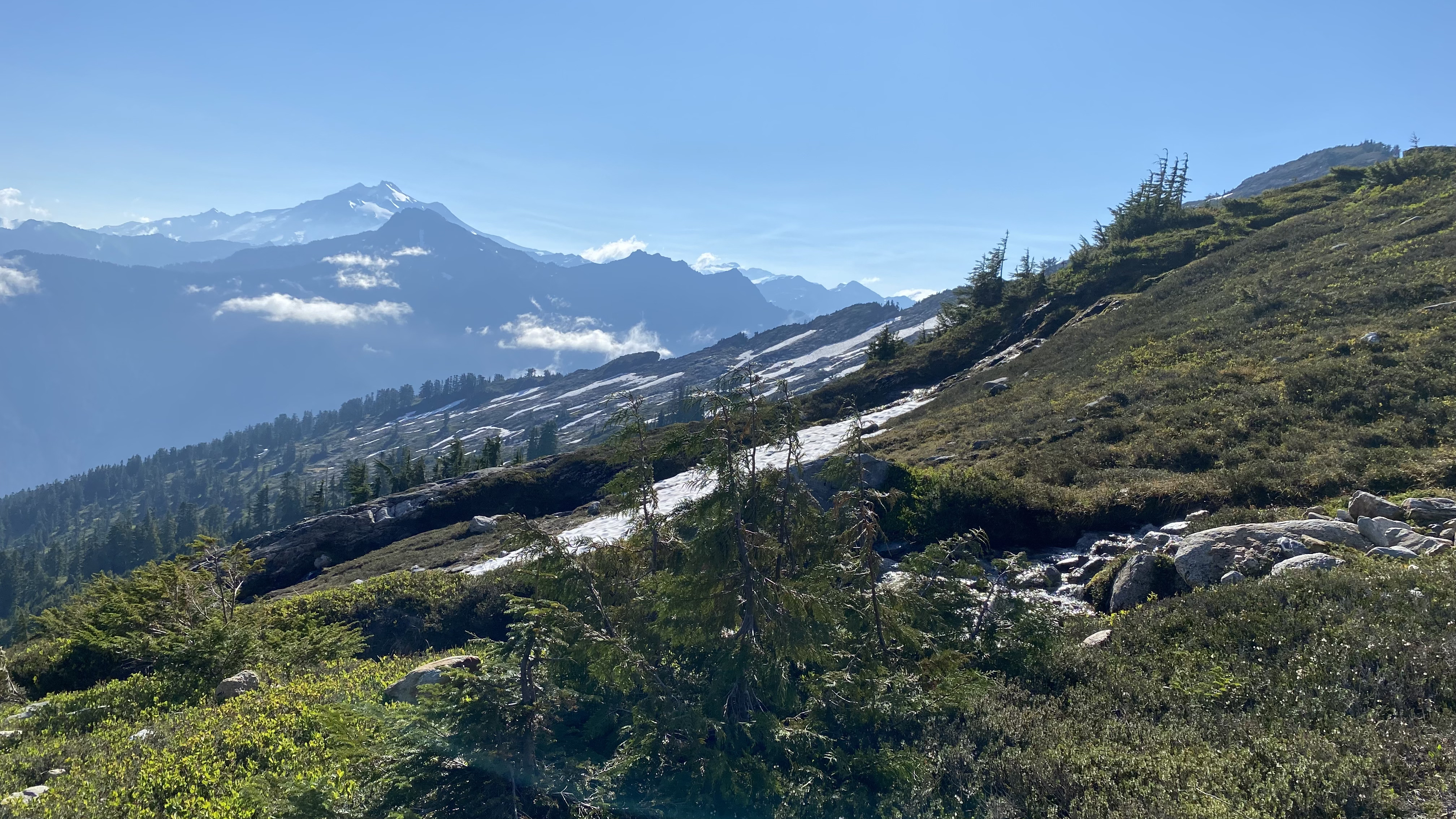
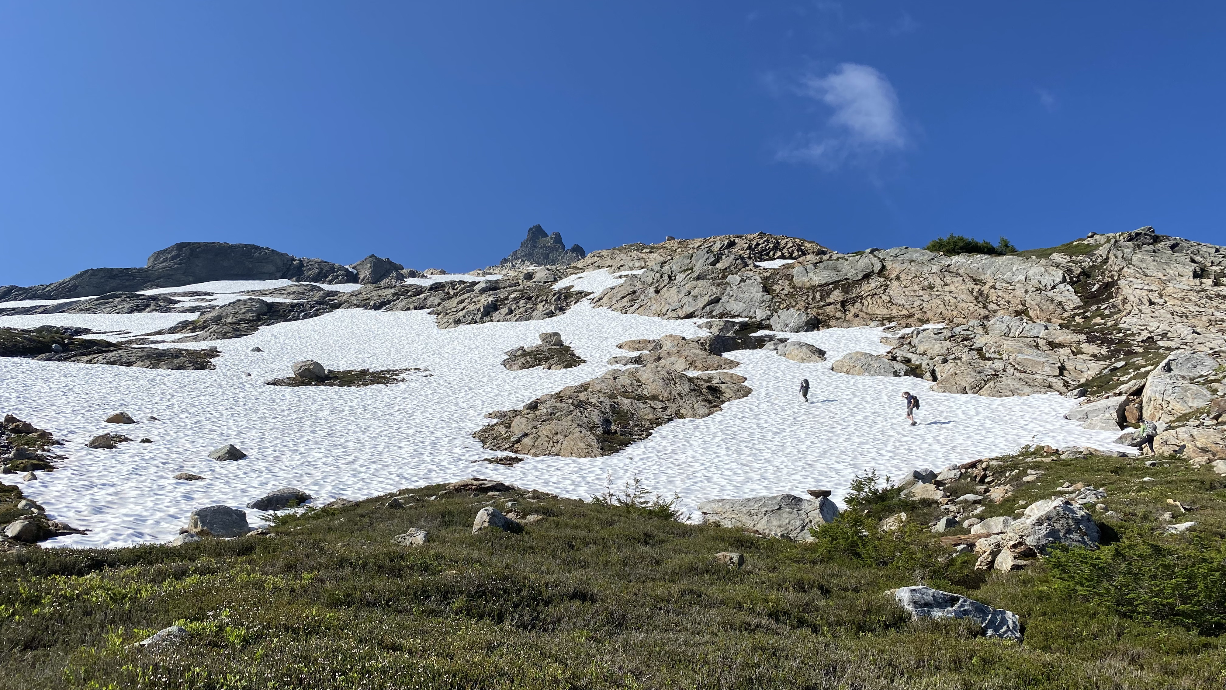
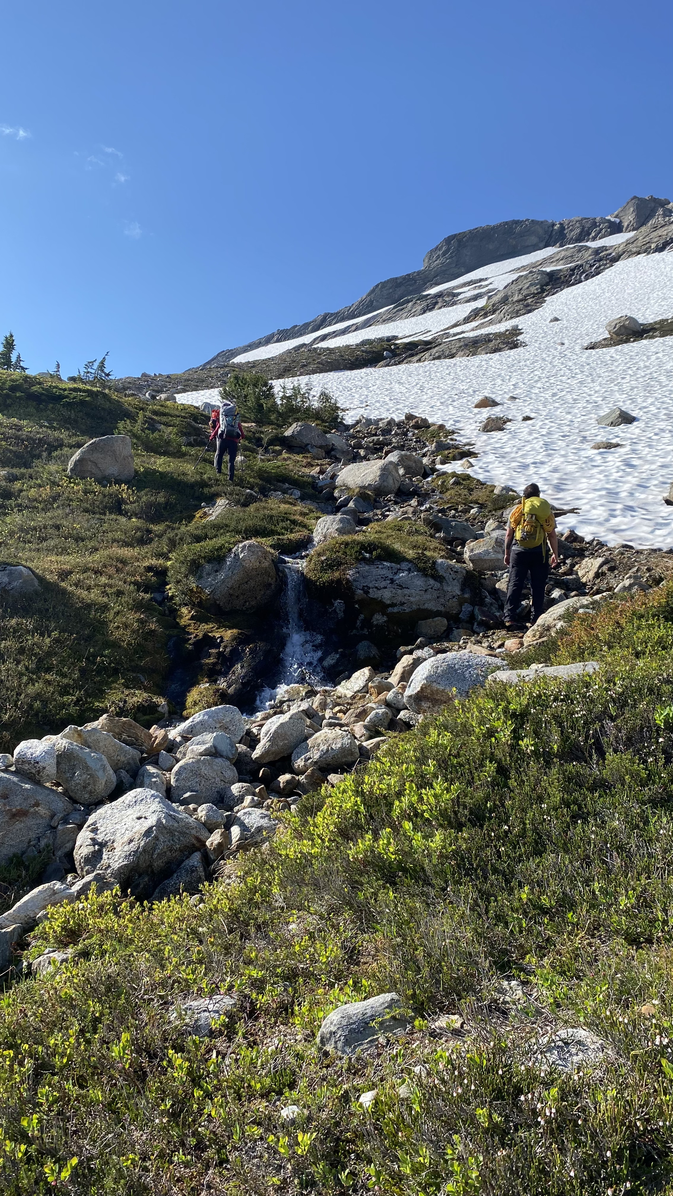
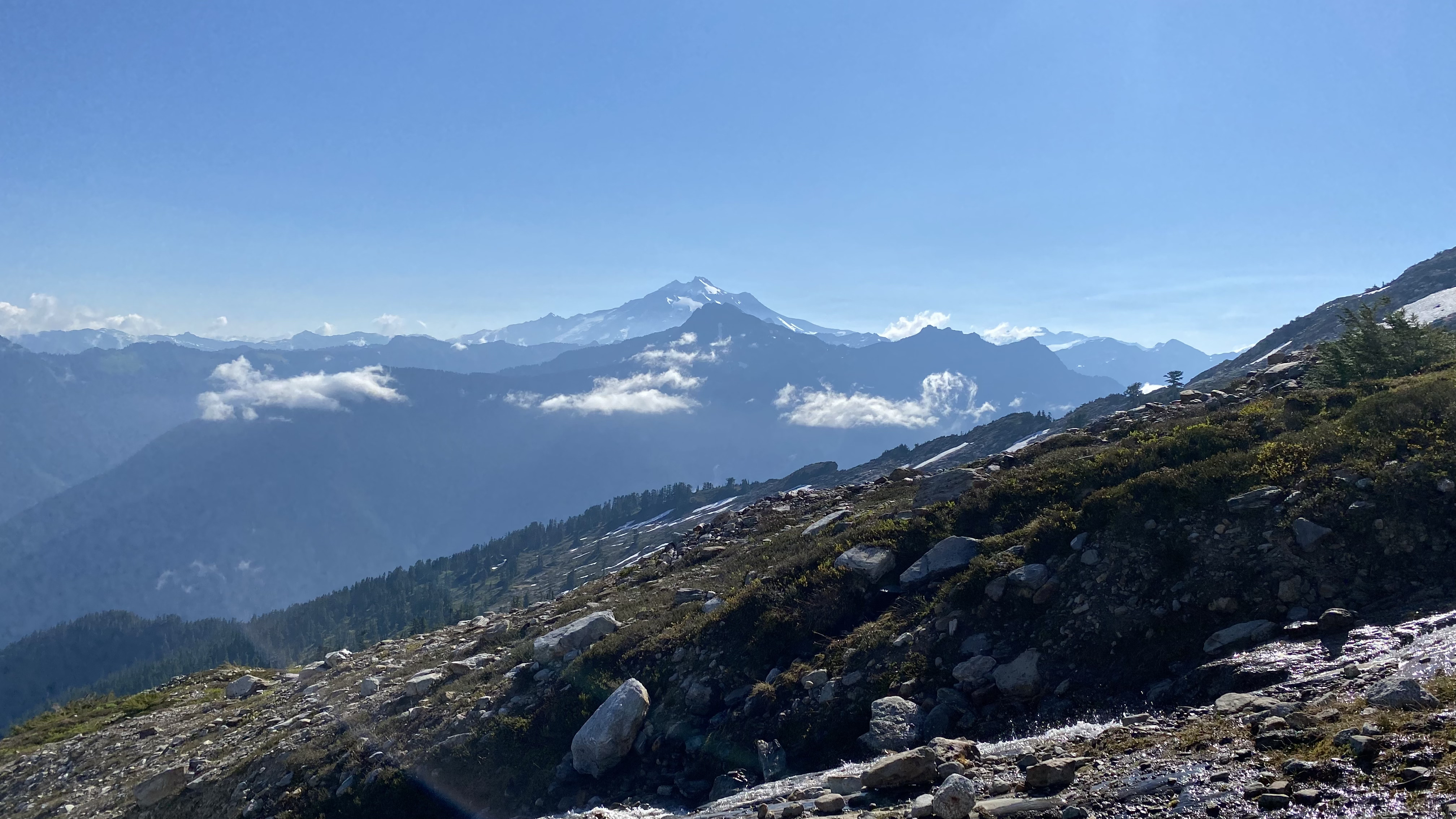
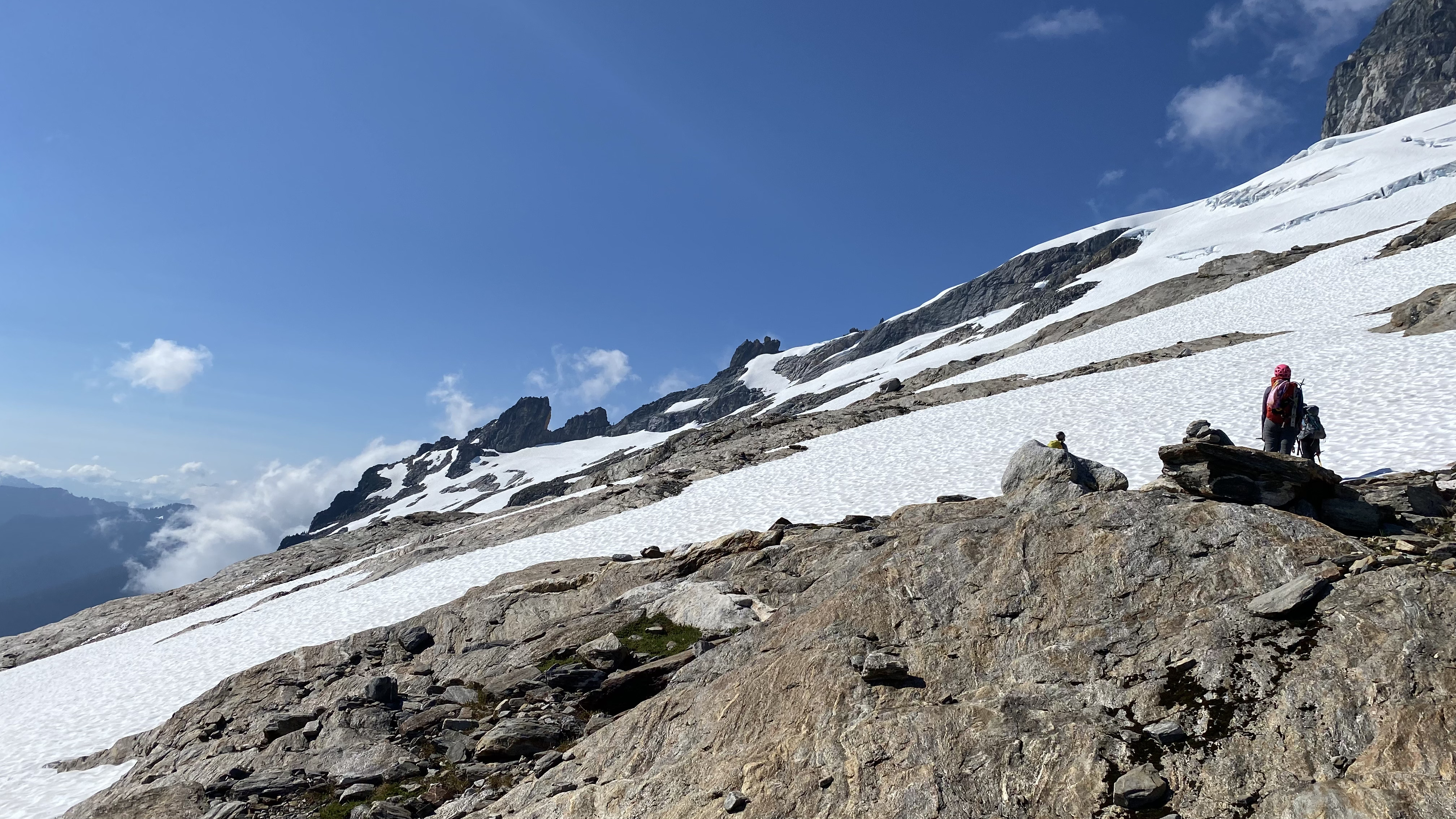
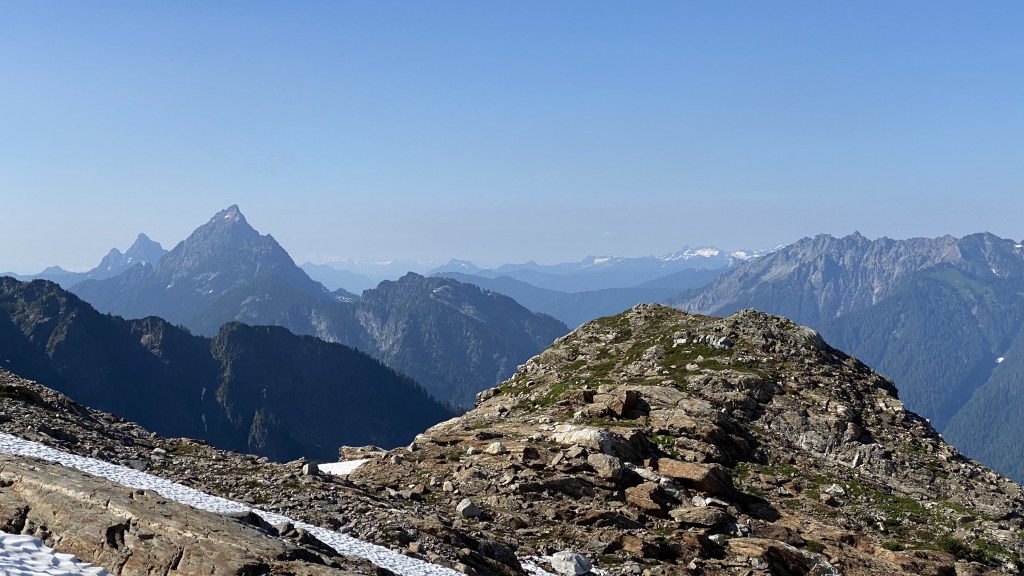
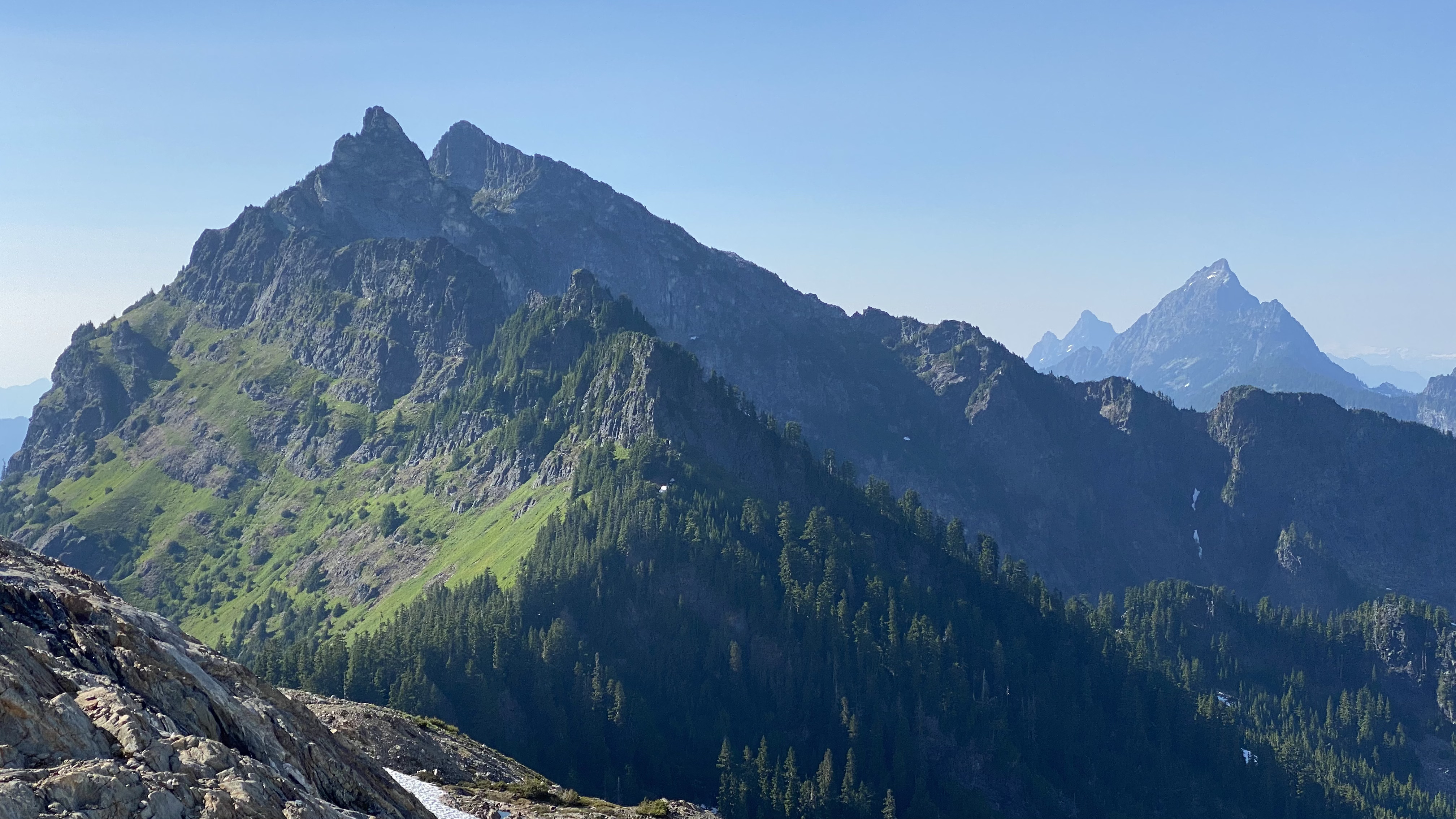
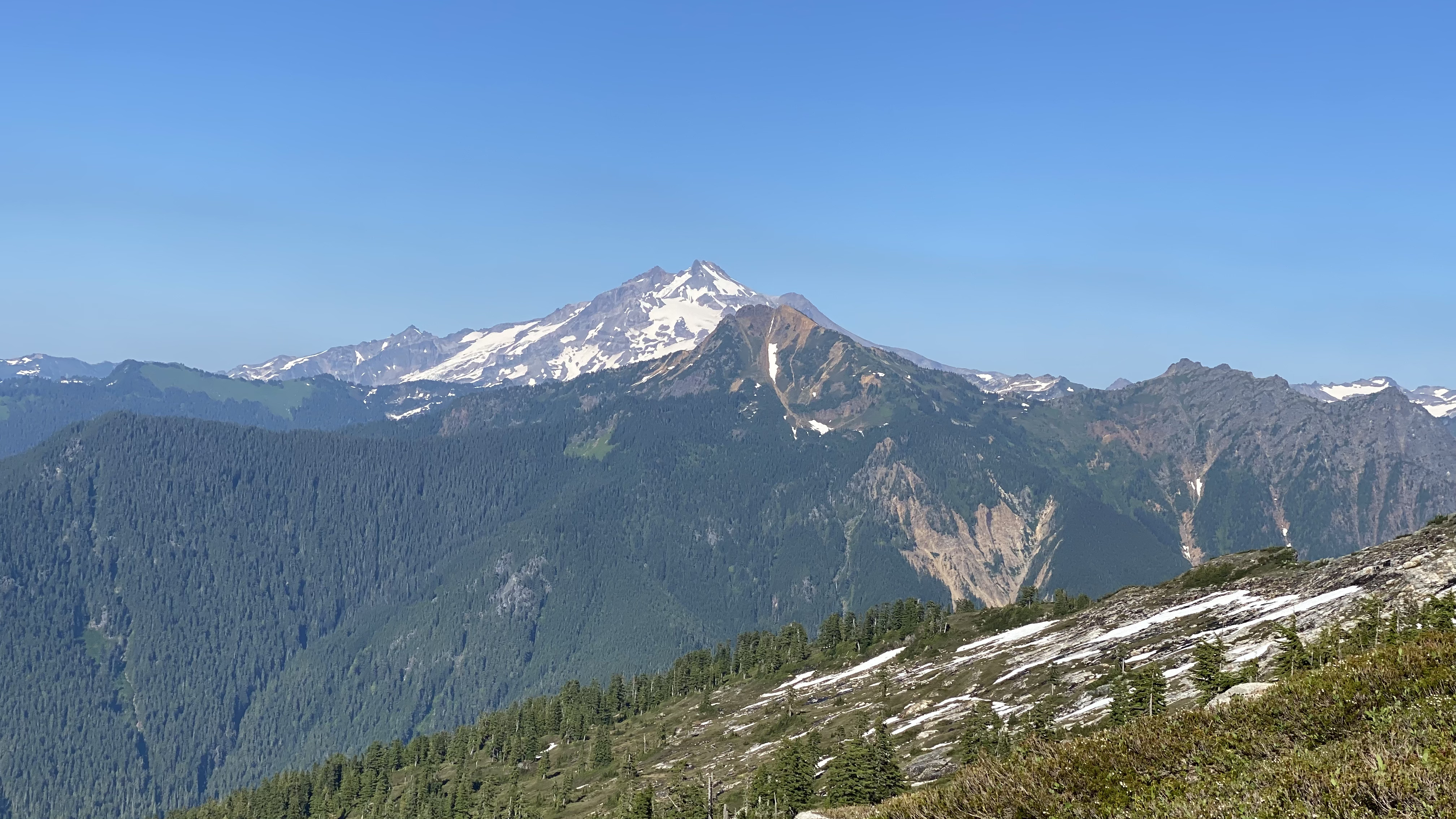
We traversed across the alpine meadow and made our way up to a small tarn and saddle to the lower sub-alpine slopes of Sloan Peak. The terrain changed dramatically into dwarf Western Mountain Hemlock and rock slabs carpeted with mountain heathers. The beginning of the snowfields was visible and we found water sources. Glacier Peak was also now visible, and it felt as though we were finally in the stages of a proper alpine climb.


Sub Alpine
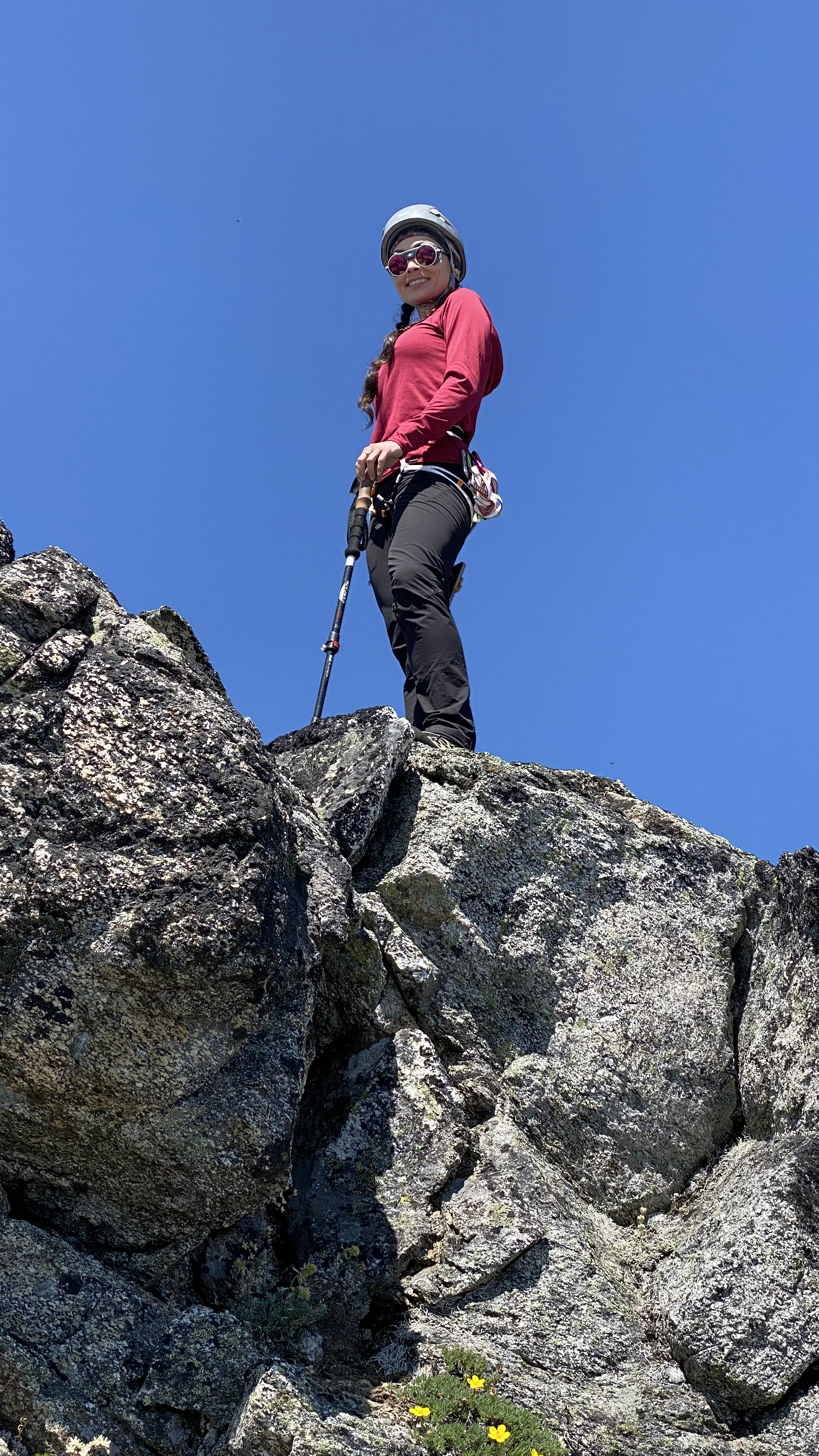
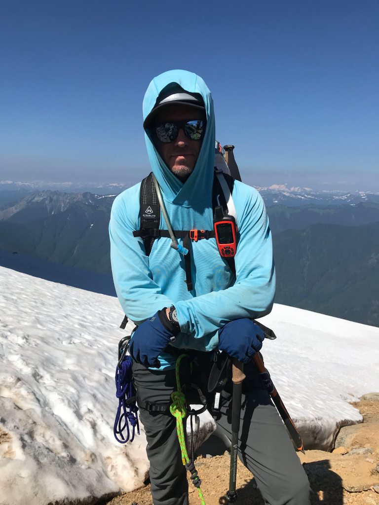
It was at this point we switched into mountaineering boots, in anticipation of the climb to come.


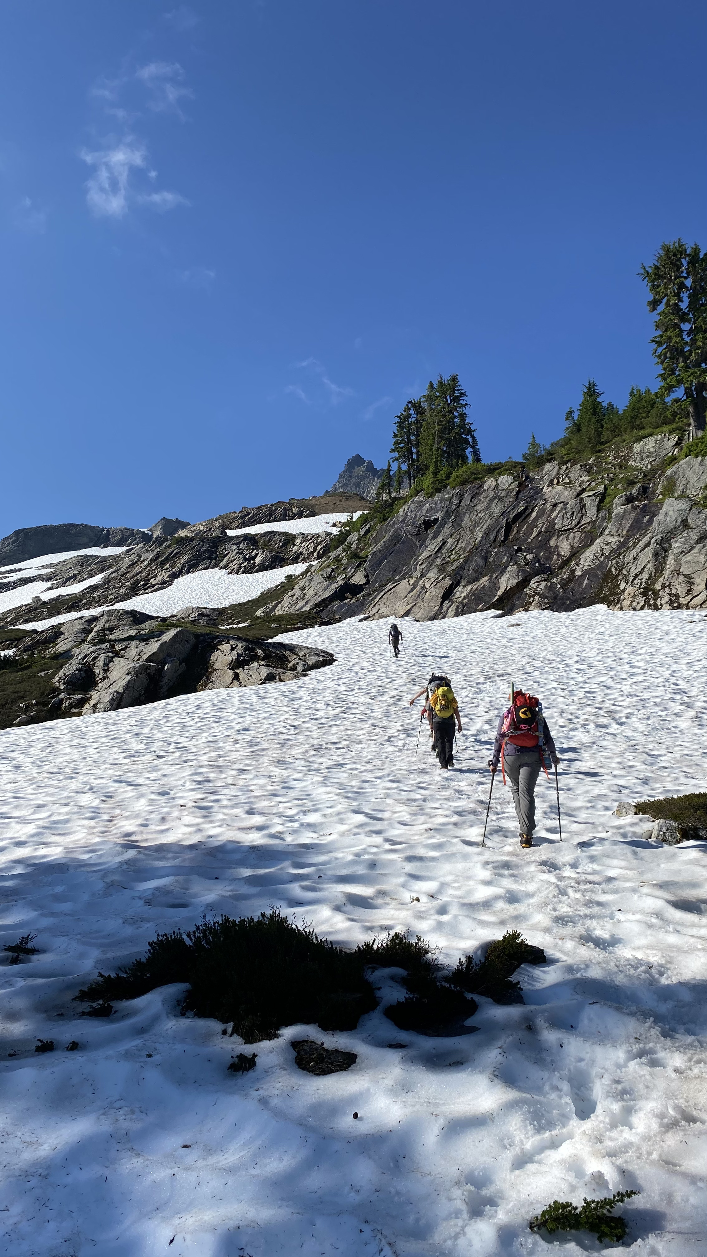
Glacier Climb


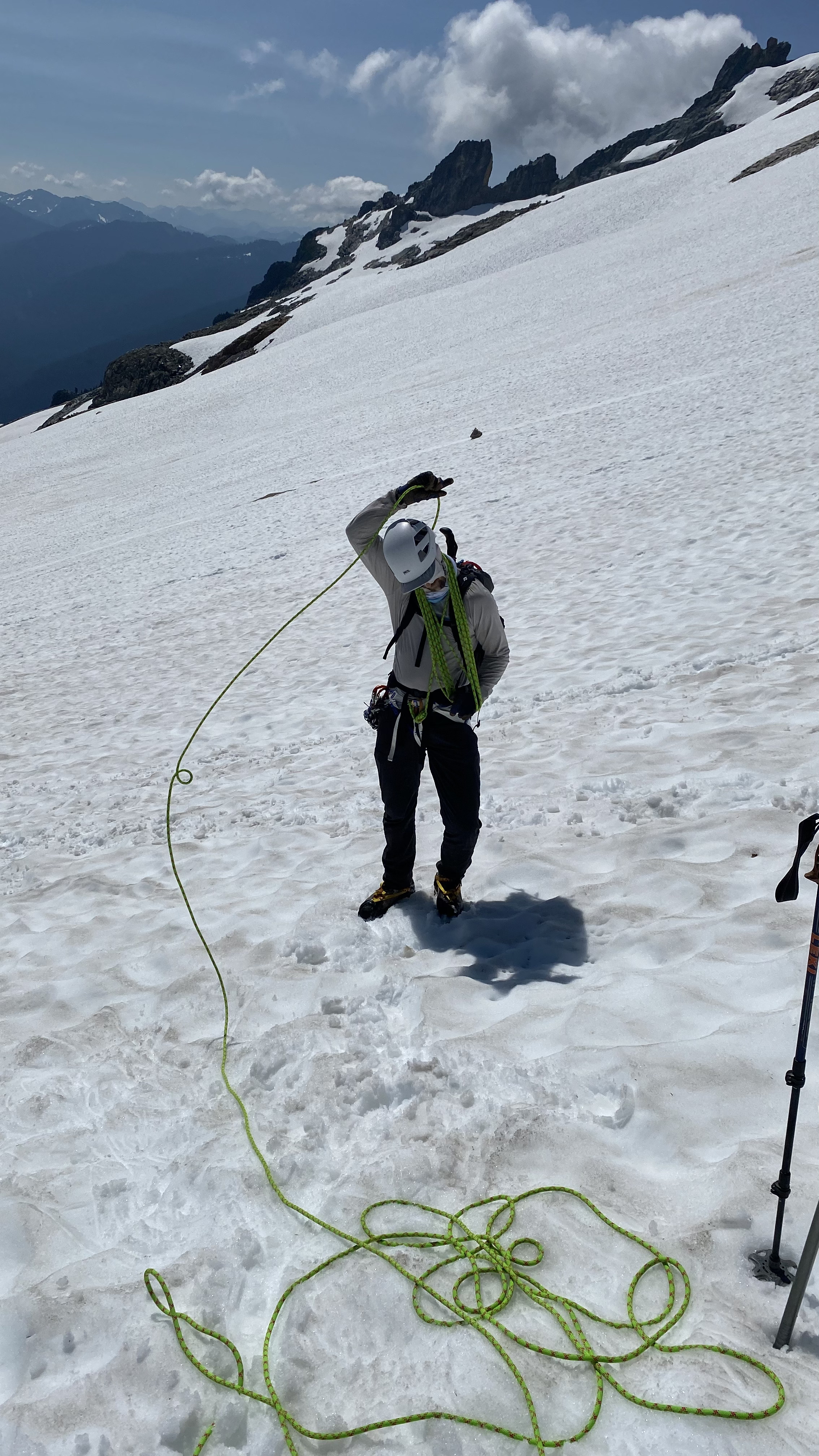


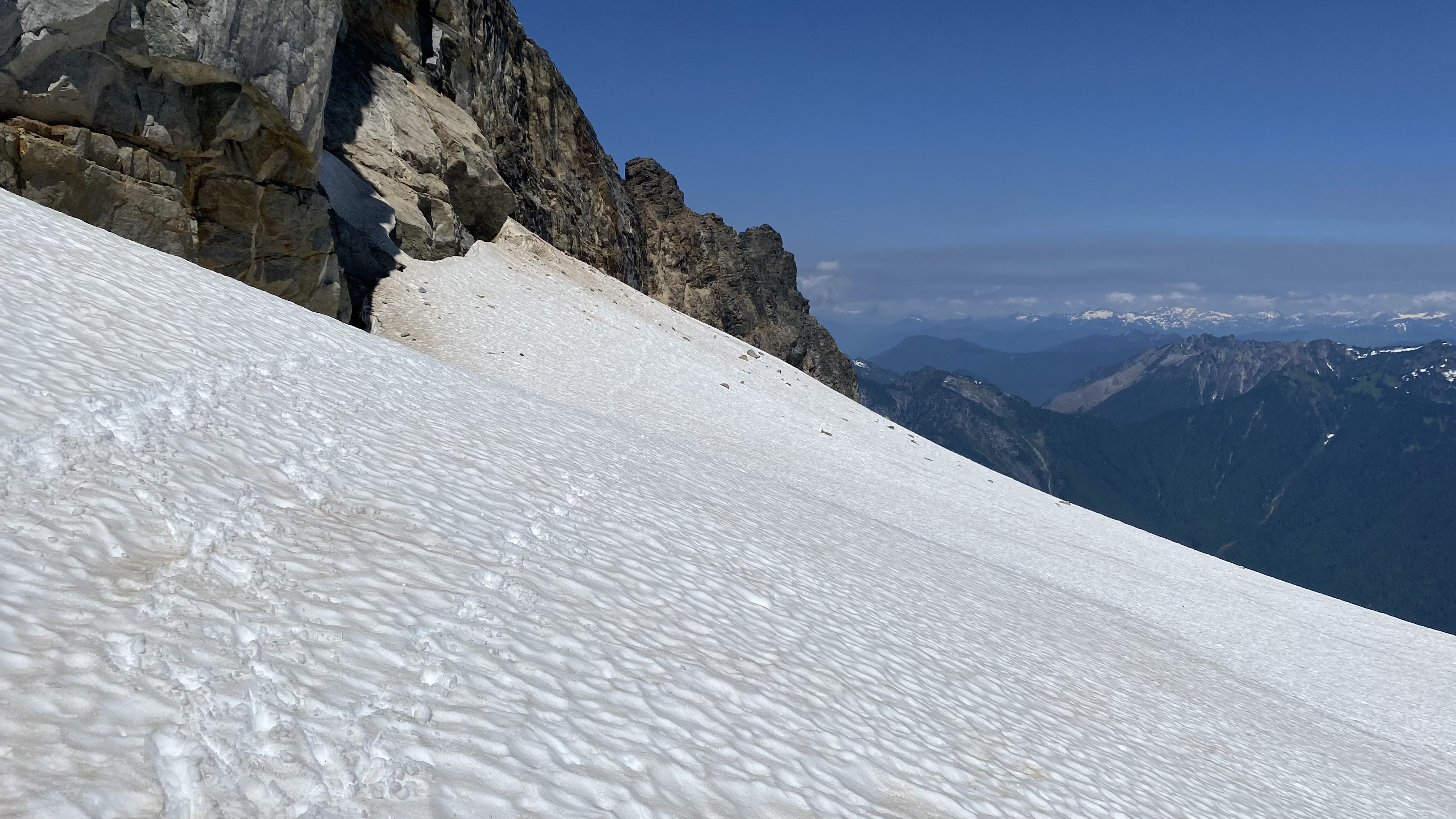
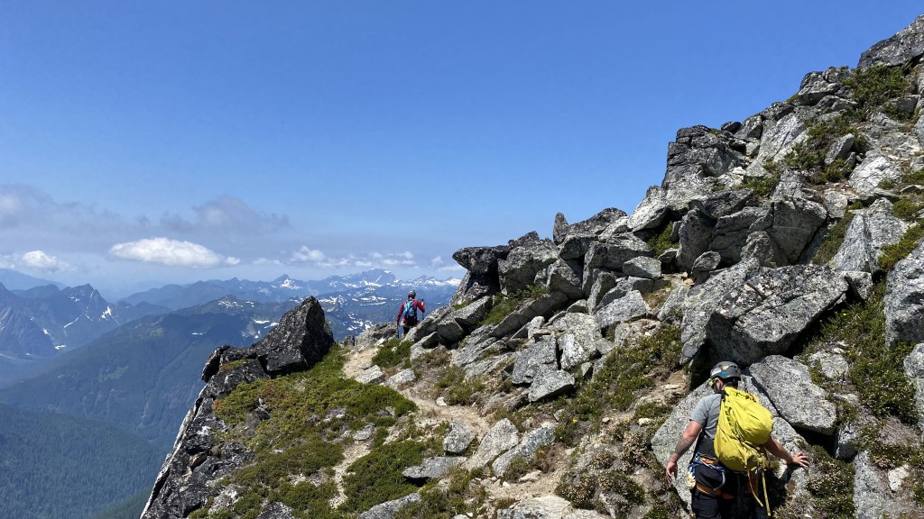
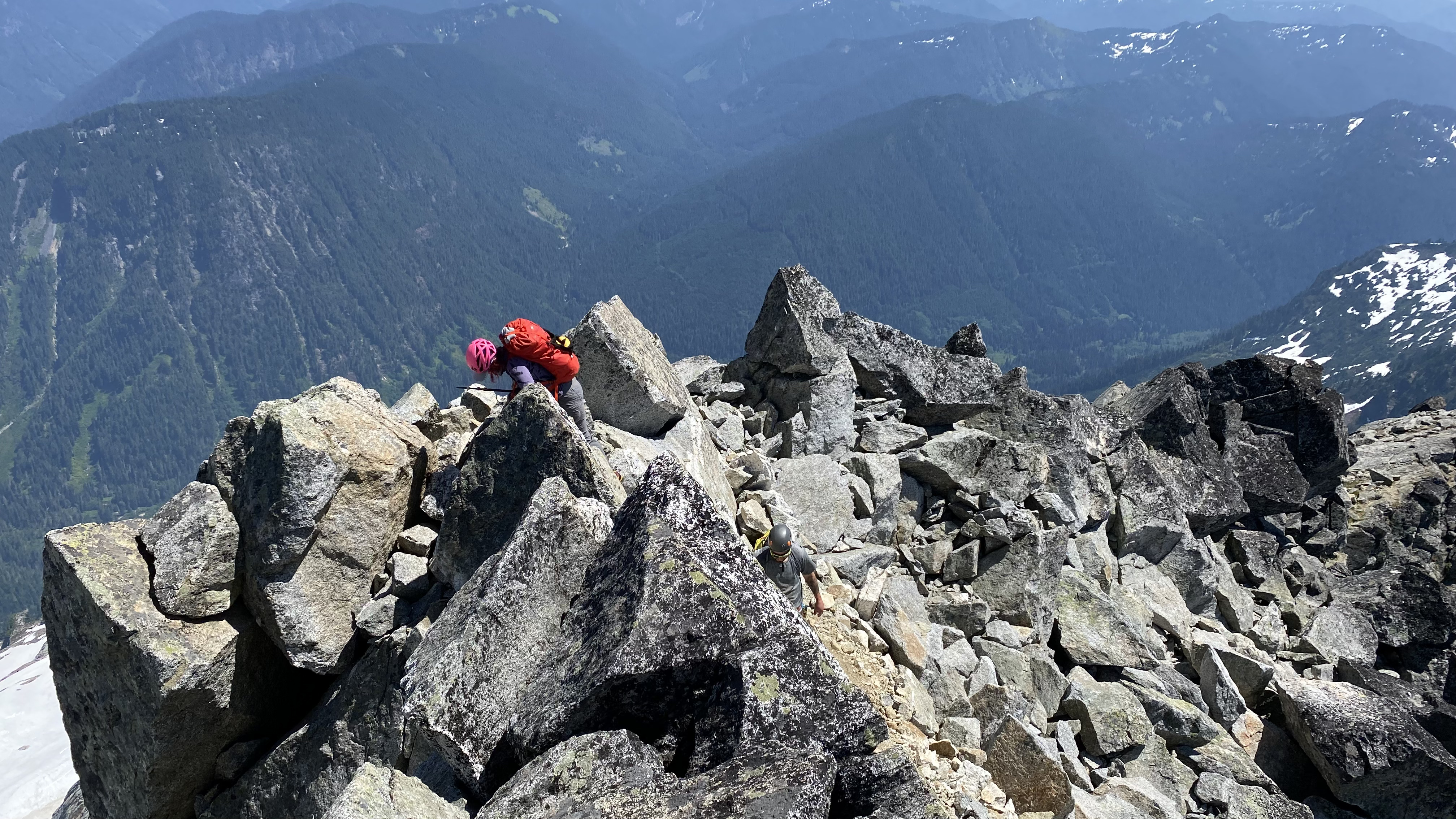
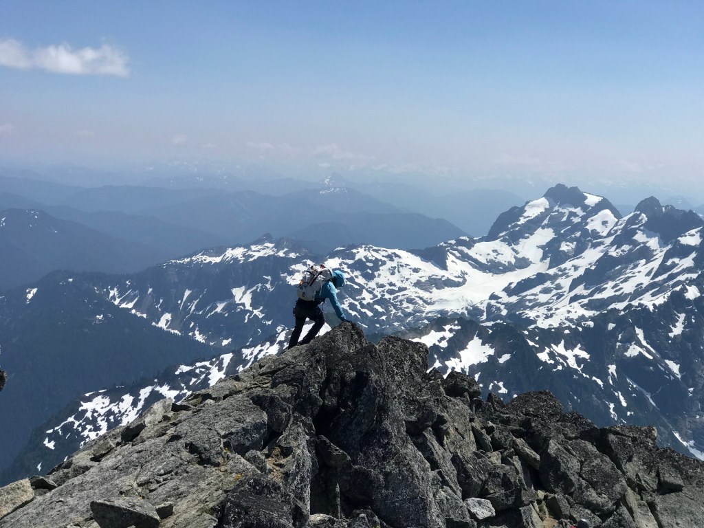
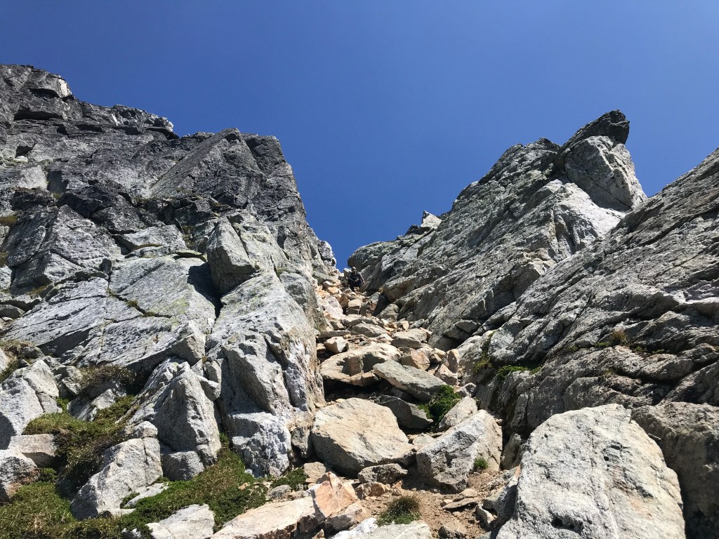
Ascending the Corkscrew


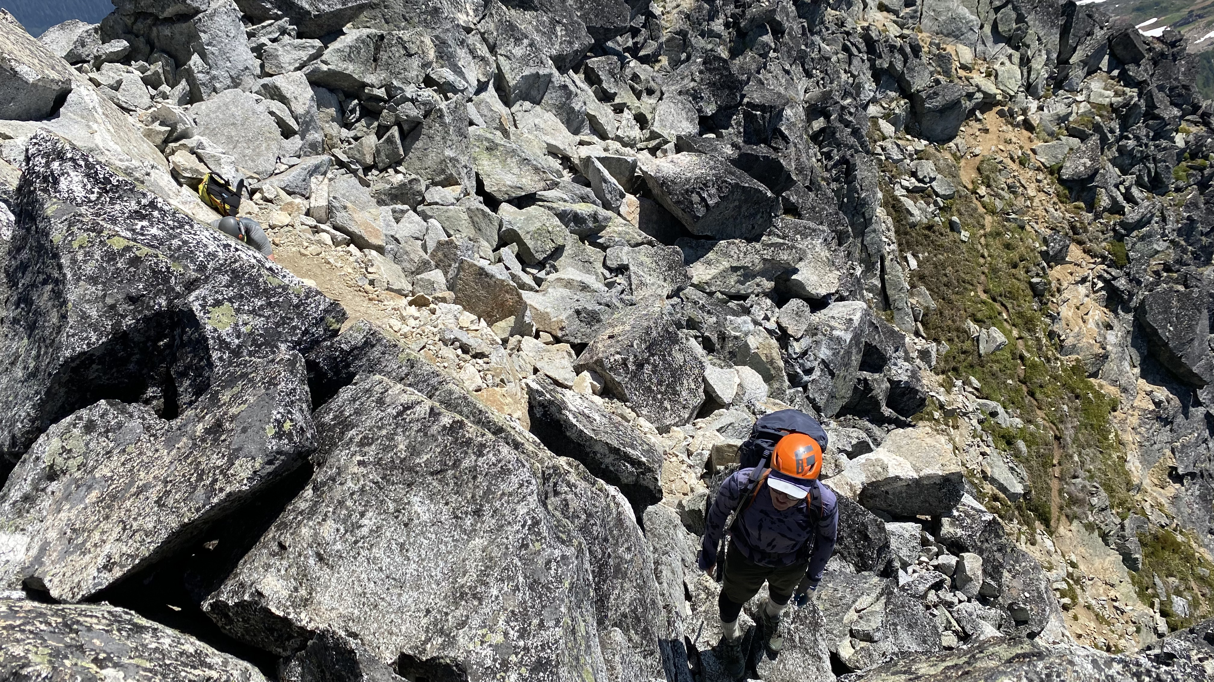


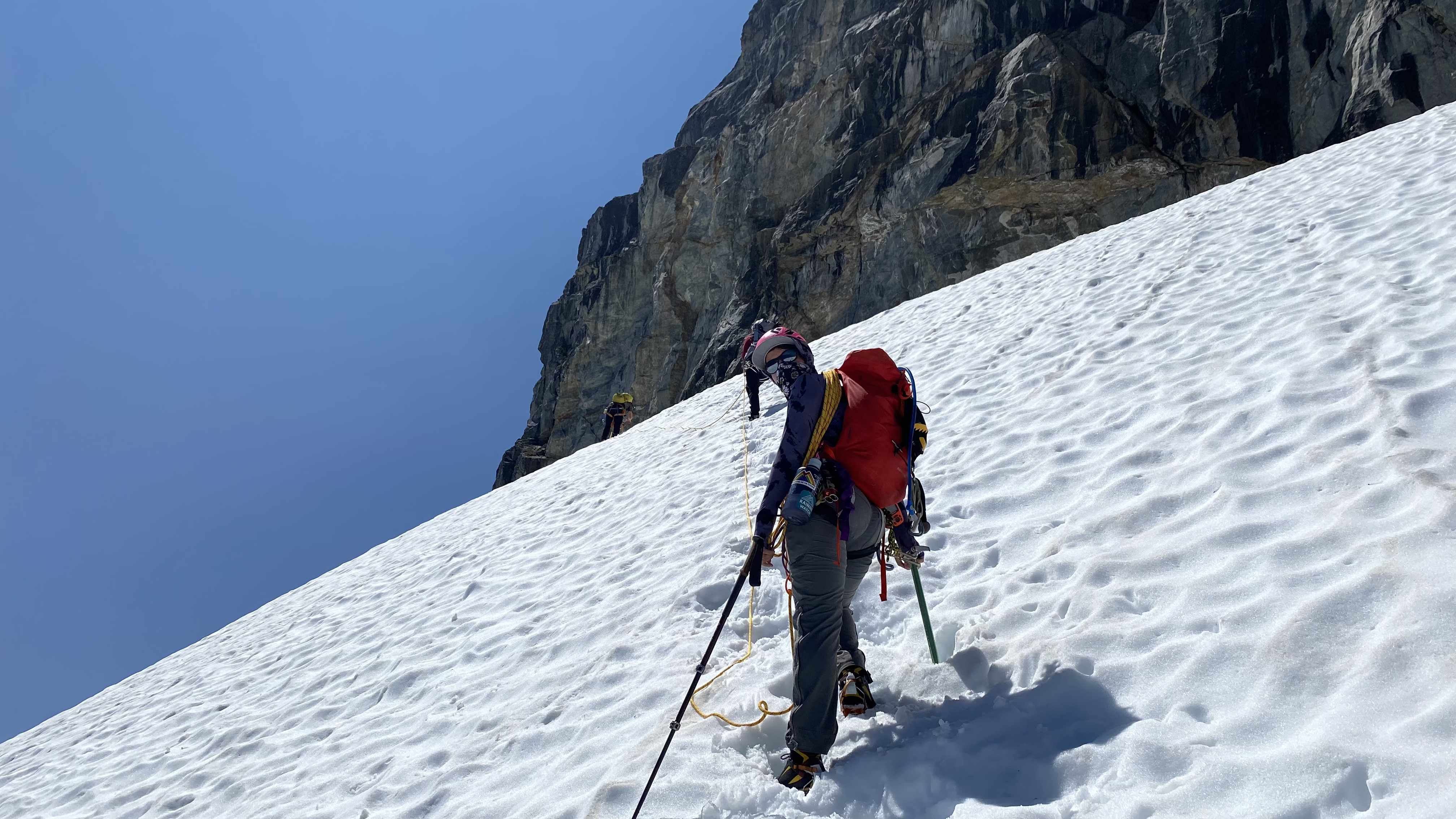
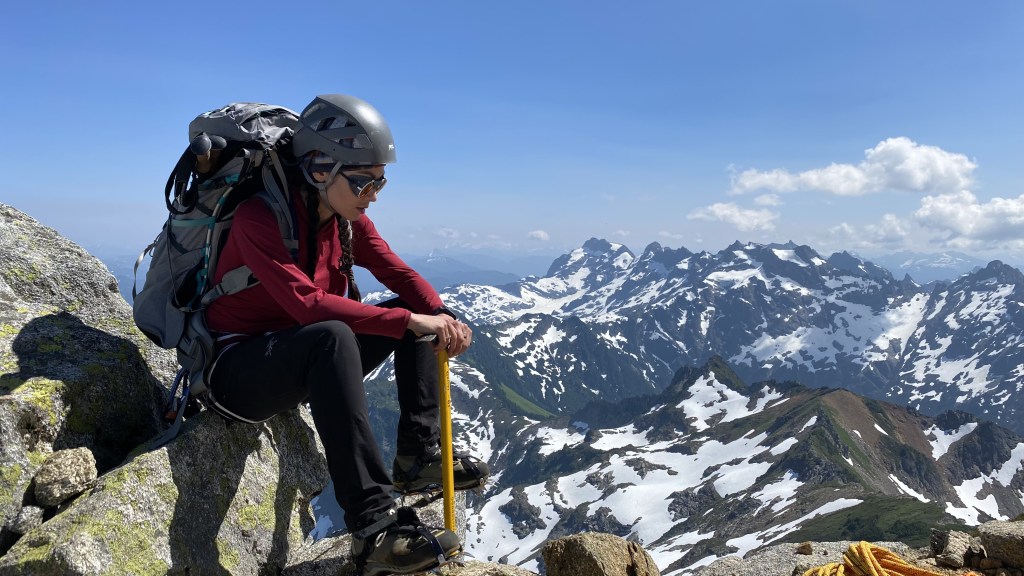
After spending about an hour at the summit, we began our descent. As usual, gravity plays in our favor and lends itself to a much faster pace downwards. The scramble route however is covered in loose dirt and can make for treacherous footing, so I took my time – mindful of my lack of sleep and fatigue and ensured I made it safely to the glacier.


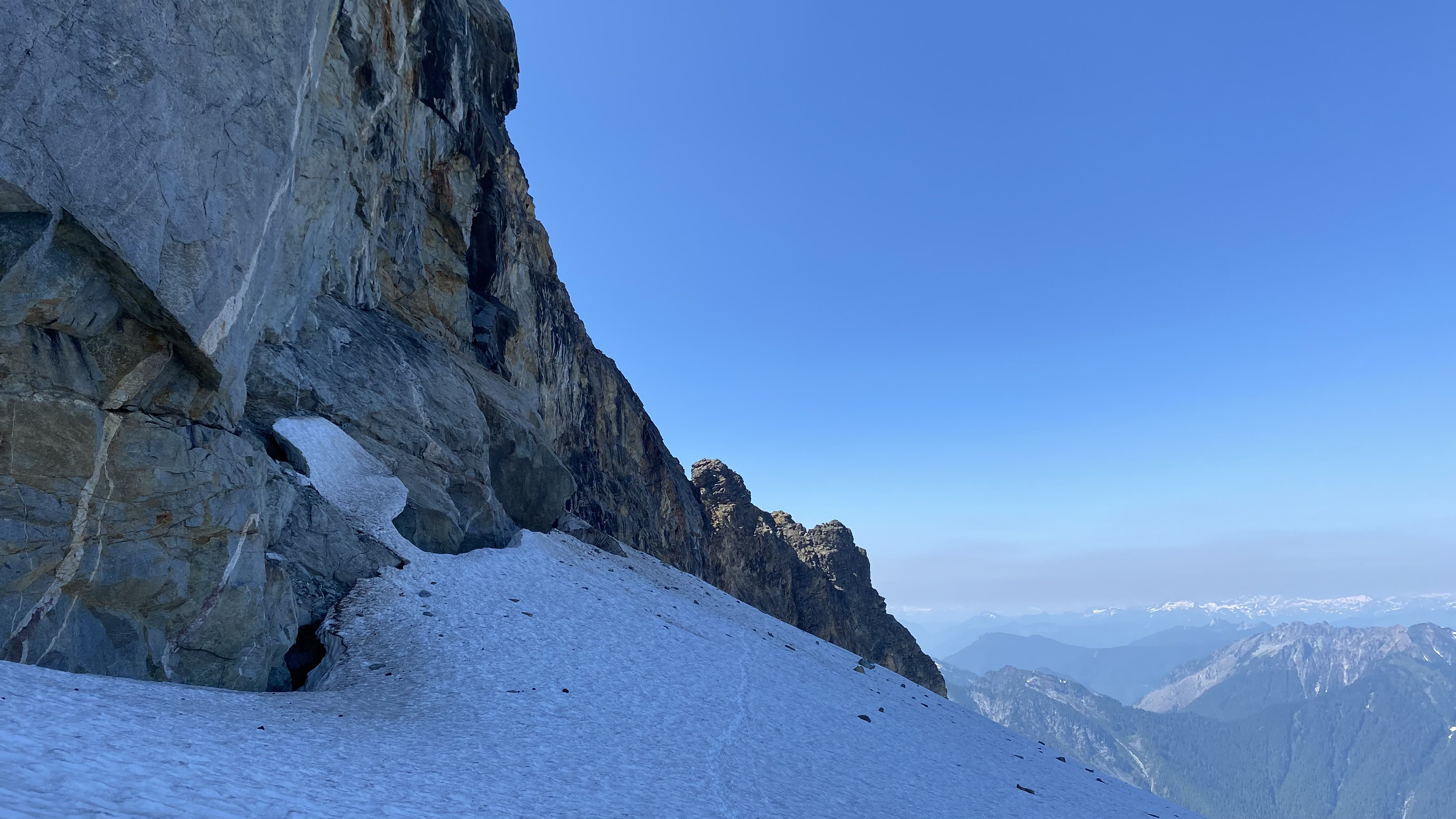

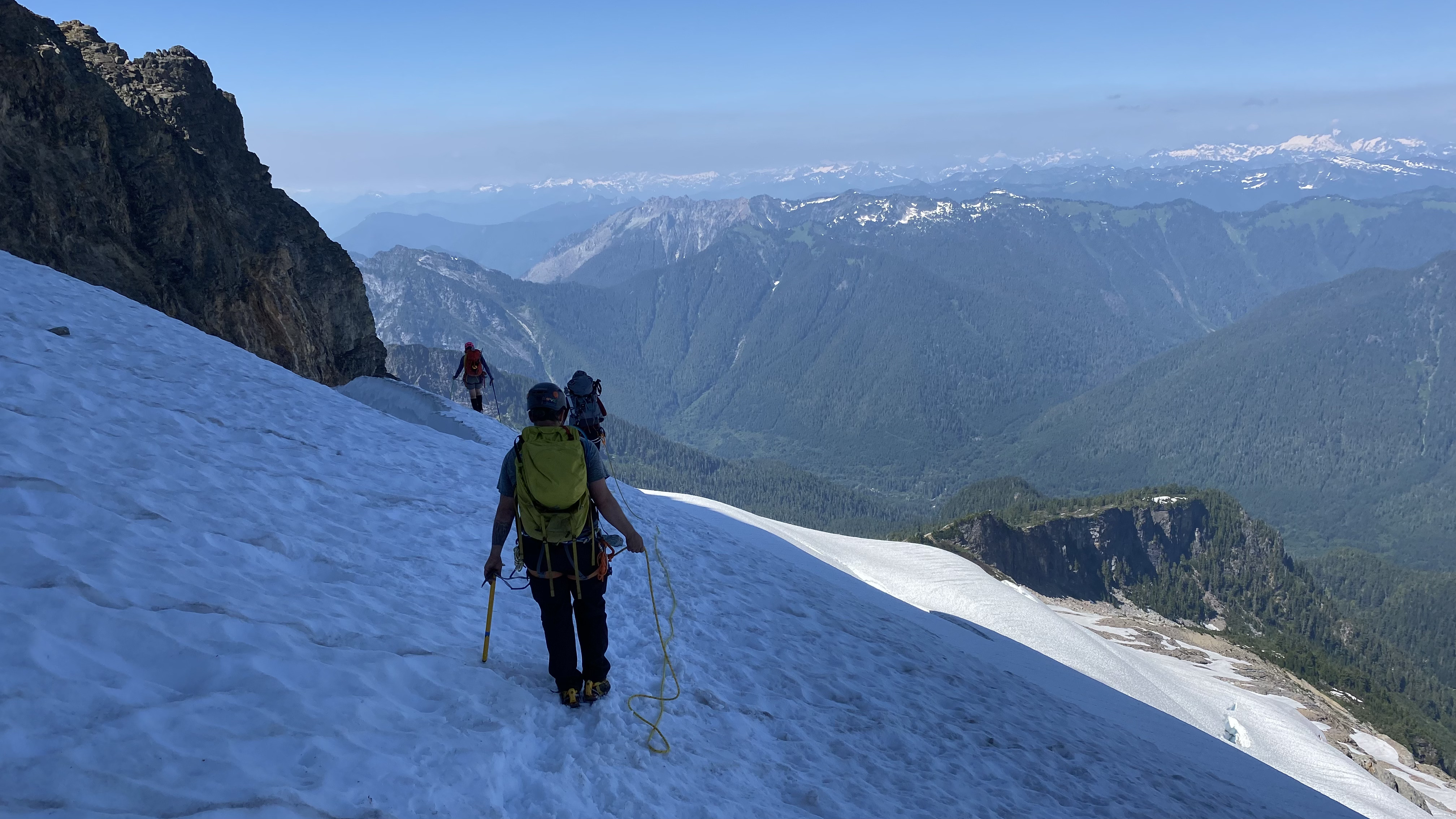

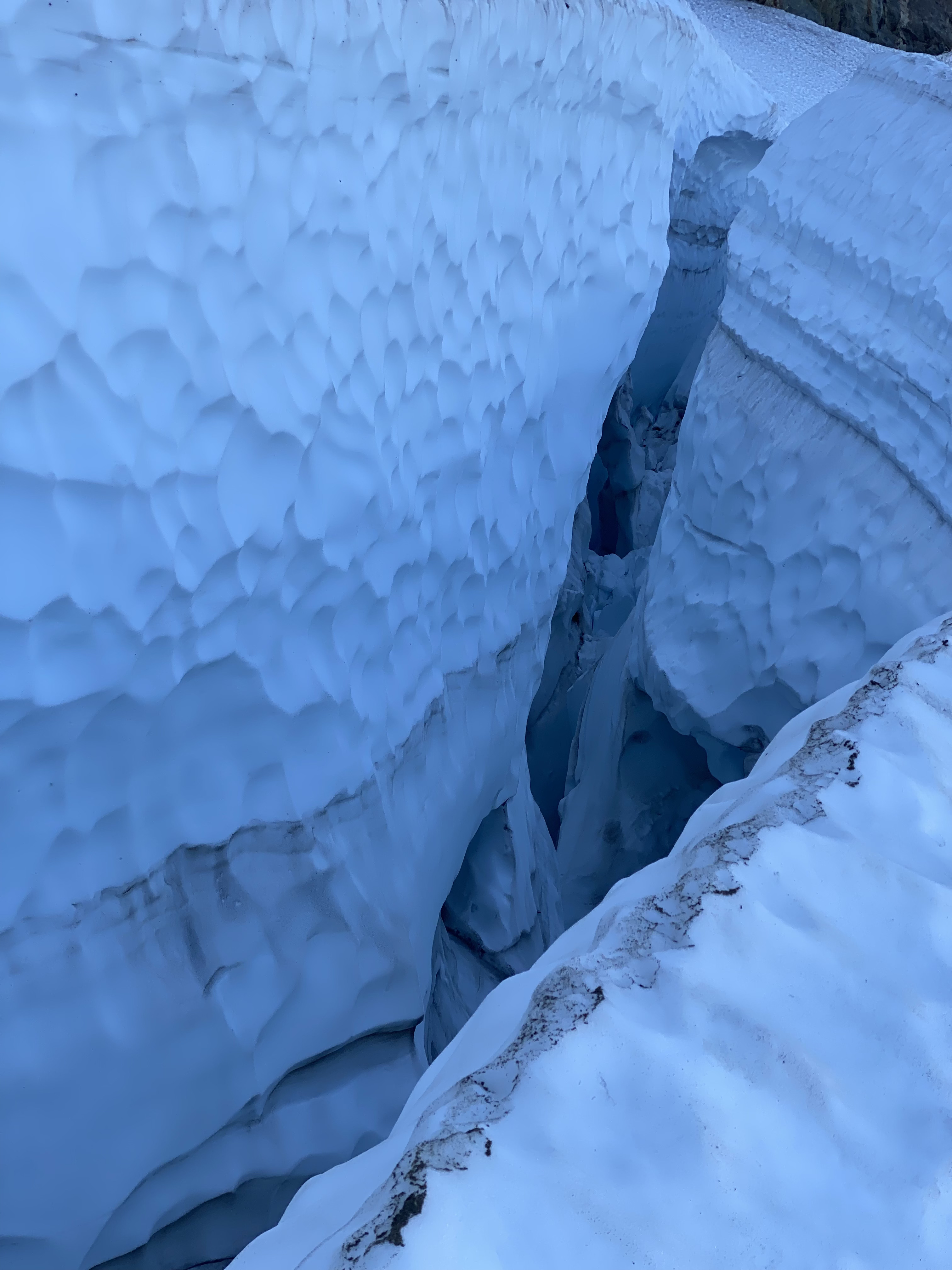
We descended the summit block and corkscrew traverse and reassembled our rope teams for the descent of the glacier. We still had the crevasses to navigate. Fortunately, all the snow was firm and solid and we made it down without incident. I think this crease would be great to rappel down and practice crevasse rescue. It appeared to be ab about 100 feet down.

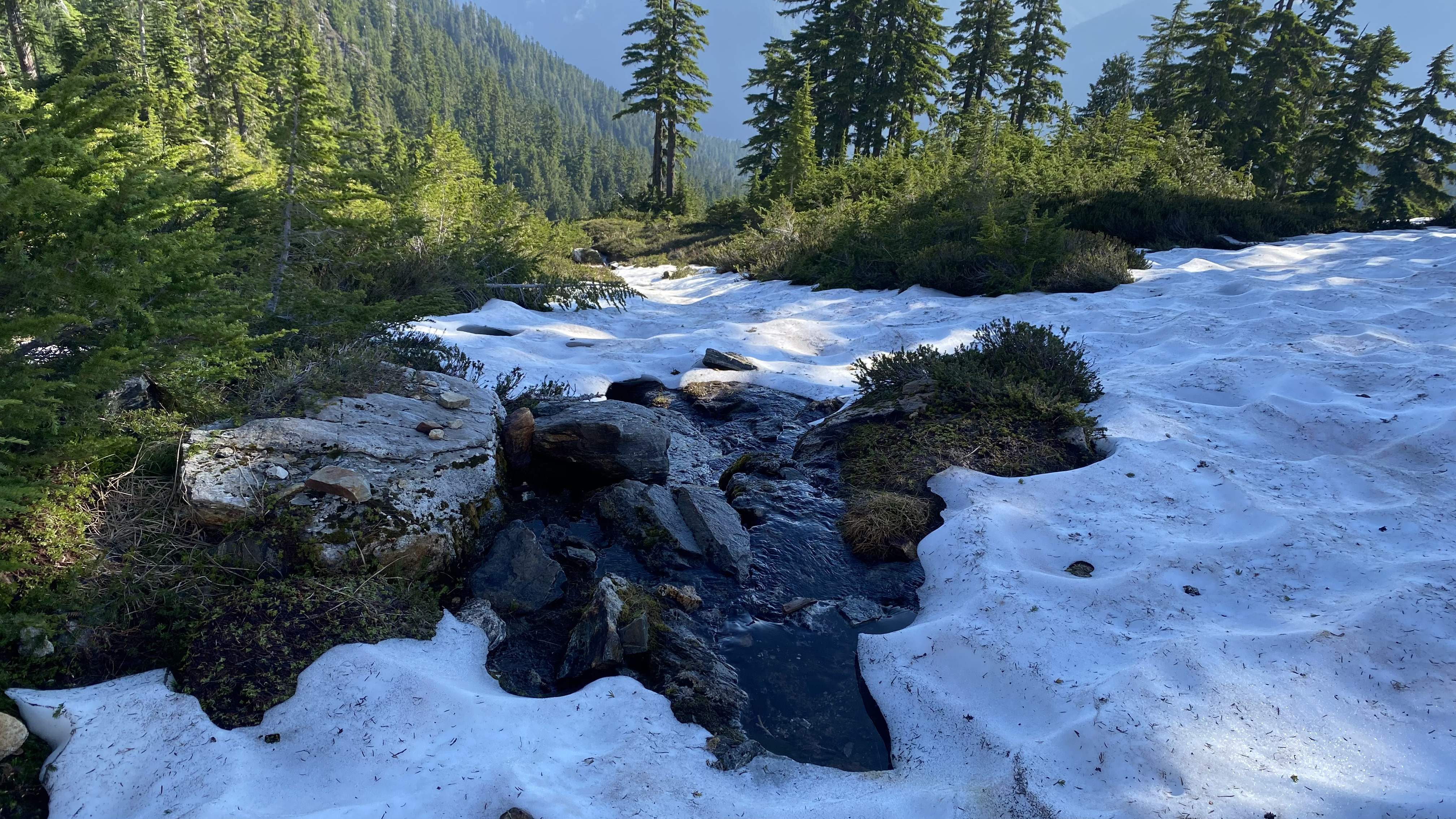
We made our way off of the glacier and snow and refilled our water bottles, removed crampons, and rope gear, and I enjoyed s short but fast glissade down the final snow slope. The sky was a bit hazy due to smoke from fires, but it created soft lighting which was great for photos.


Best of photomontage.
https://www.alltrails.com/explore/recording/sloan-peak-90a82bf
https://www.gaiagps.com/map/?loc=12.8/-121.3555/48.0502&layer=GaiaTopoRasterFeet
You’re too kind, and now I feel all warm and fuzzy inside! Glad it was a safe and enjoyable trip for everyone.