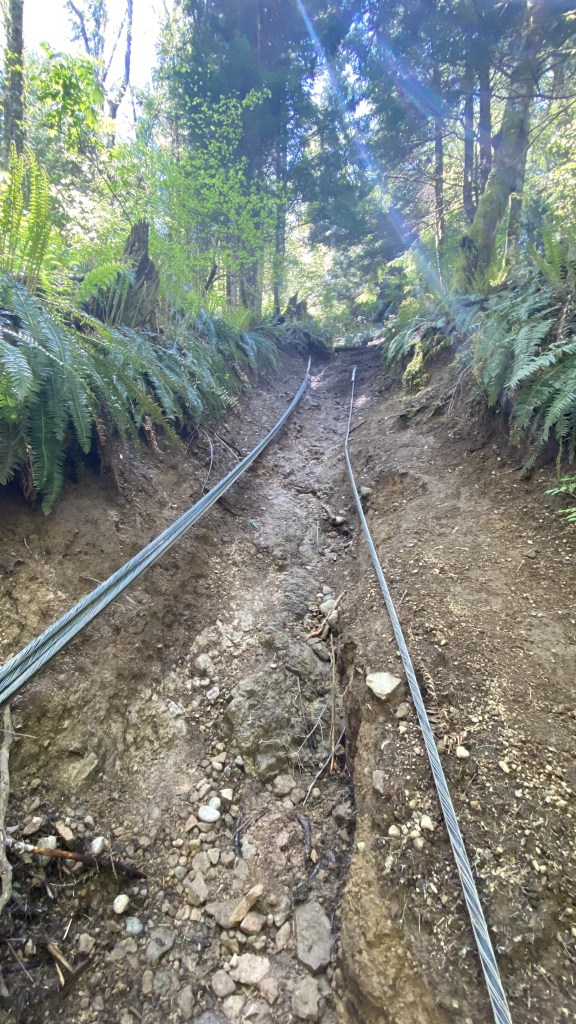
In preparation for an upcoming climb of Mount Whitney and in post-COVID recovery mode, I was determined to get the fitness back that I had gained in 2021. Begrudgingly I opted to take a run (slow uphill plodding walk) up the infamous Cable Line route up Tiger Mountain West #3. Tiger Mountain outside of Issaquah Washington has several large summit groups, The West summit group being the closest to town and most accessible, has three adjacent peaks hence the enumerated nomenclature. The Cable Line route is a direct path up a ridge to the West Summit #3, the lowest of the three. It follows a mostly buried cable that powers the numerous towers on the summits and is most popular with people seeking a close, accessible, and challenging workout. The trail gains 2000 feet in 1.5 miles. It is steep, hard when you are out of shape, and somewhat treacherous when muddy, which is most of the year. It becomes boring after multiple ascents, even more so as I had just climbed it the previous evening, determined to work my lungs and legs as much as possible in the few remaining days prior to my Mount Whitney trip.
Given I was going up the Cable Route for the second time in two days, I decided to make it more interesting and challenging, by climbing all three West Tiger Mountain summits, and also exploring some trails on the Southside of the peak, which is rather large in area. I have also become obsessed with hiking every identifiable trail on not only Tiger Mountain but neighboring peaks of Squak and Cougar Mountains, inspired by another hiker who made it her COVID project to walk each and every trail.

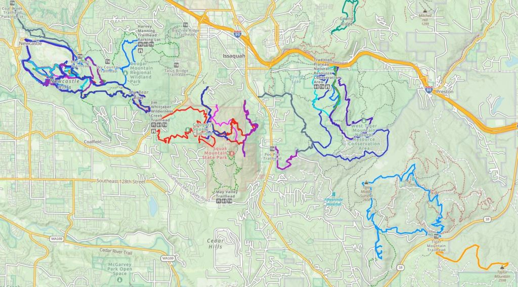
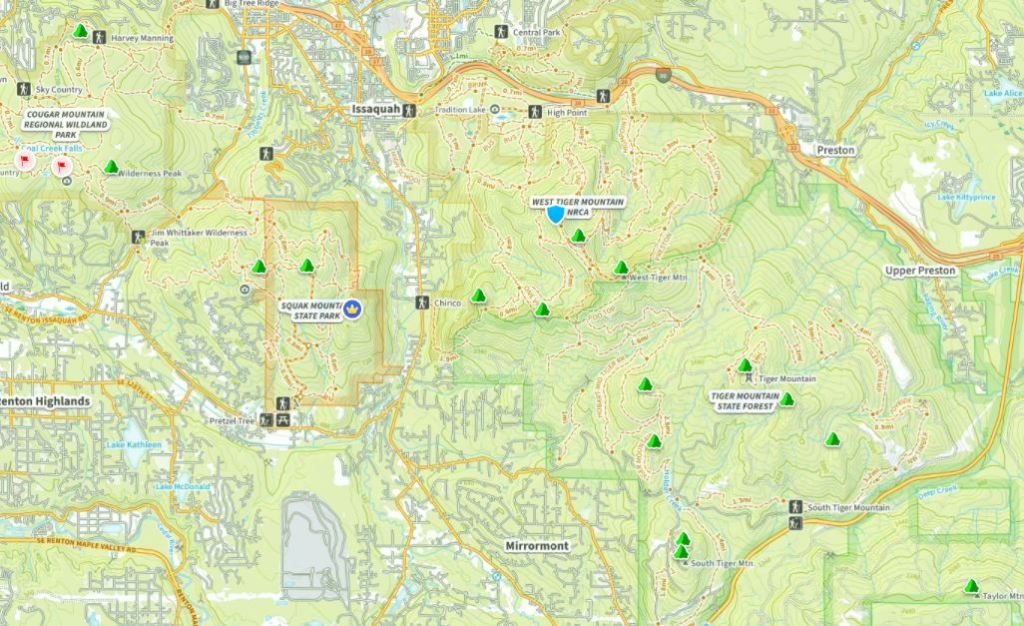
In addition to my goal of hiking all the trails on Tiger, Cougar, and Squak Mountains, I have “summitted” all 24 peaks of the Issaquah Alps as identified on the map below with green, red, and other icons.

Blessedly some parts of the trail are actually pleasant


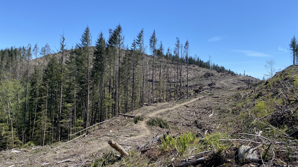


The summit of West Tiger #1 is not all that pretty!


After reaching the high point on the West Tiger group, I decided that I would drop down and find a loop along the south side of the mountain and make a loop towards Poo Poo Point, and then back to the Cable Line on the North side. I figured I could get about 12 miles out of this loop. My path would take me across many different trail segments and intersections. This is an understatement – see below!


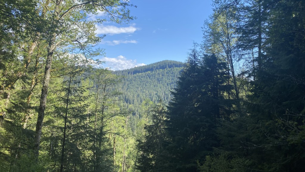
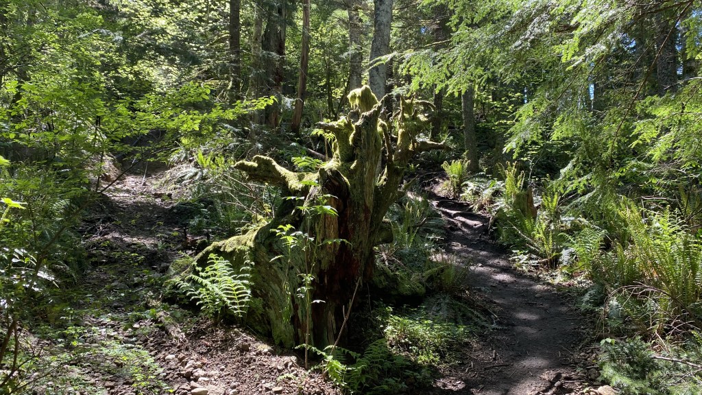
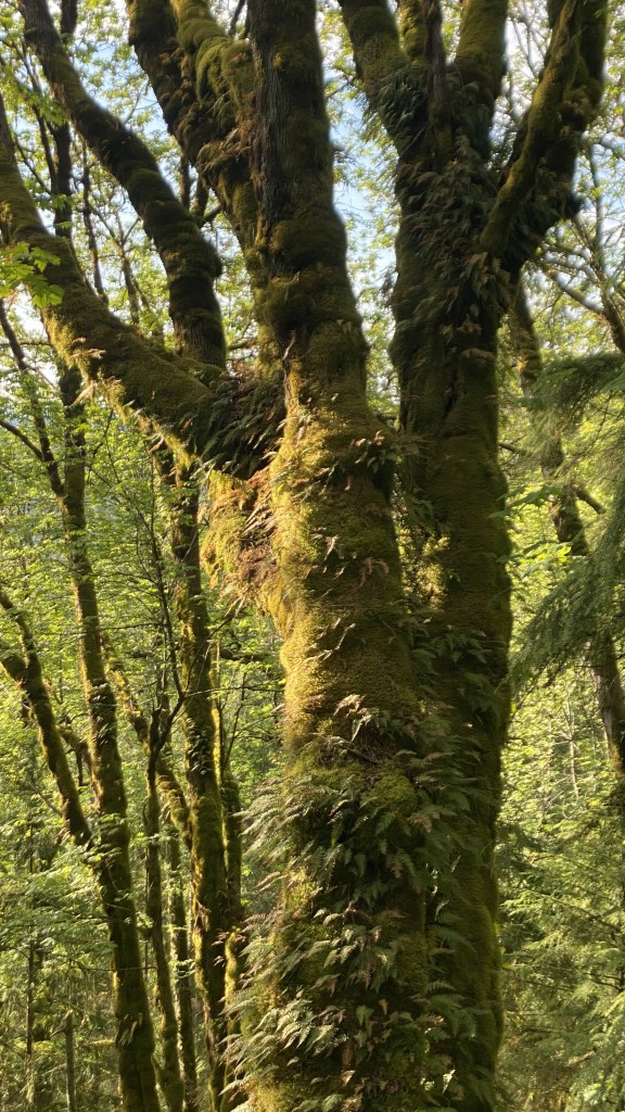
As I made my way down and across the South side of the mountain, the scenery and terrain were much more enjoyable than the scalped summits.


I made my way from the junction to Poo Poo Point. I opted not to bag that as I was going to run out of daylight and wanted to get back to grill some steaks. The terrain on the West side crossed several creeks and springs and made for a muddy pathway.


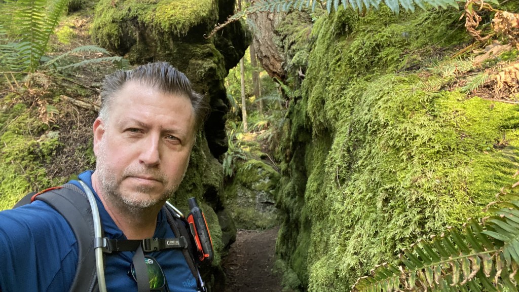
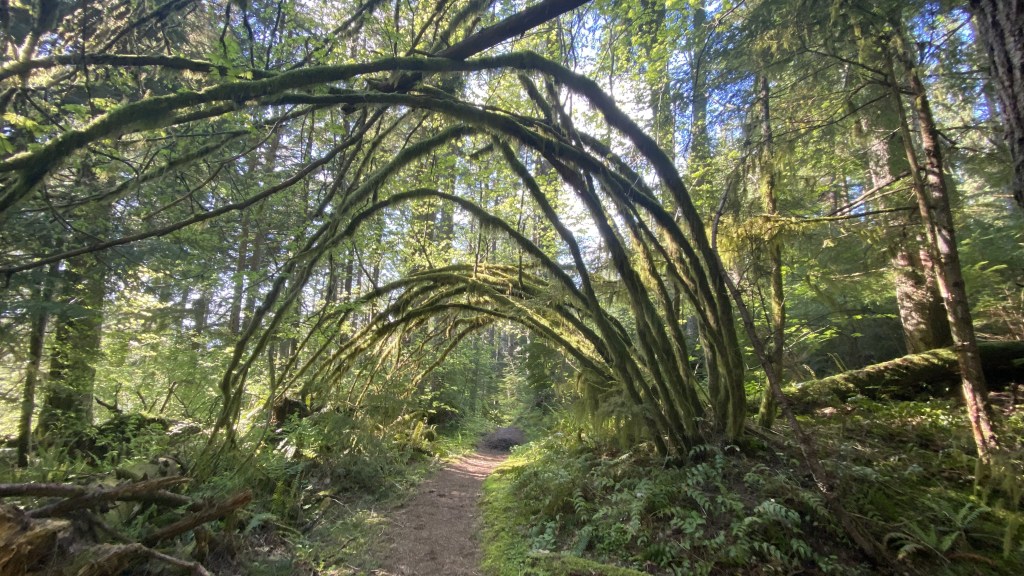
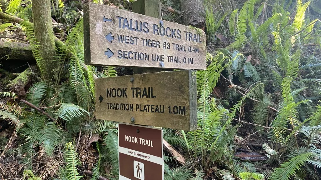
As I made my way around the final leg of the mountain, I began to drop down and lose altitude. The trees were increasingly mossy due to the limited sunlight in this section. Once again I crisscrossed several trails, trying to hit trails I had not hiked in an effort to color in my map with my tracks on the trails.


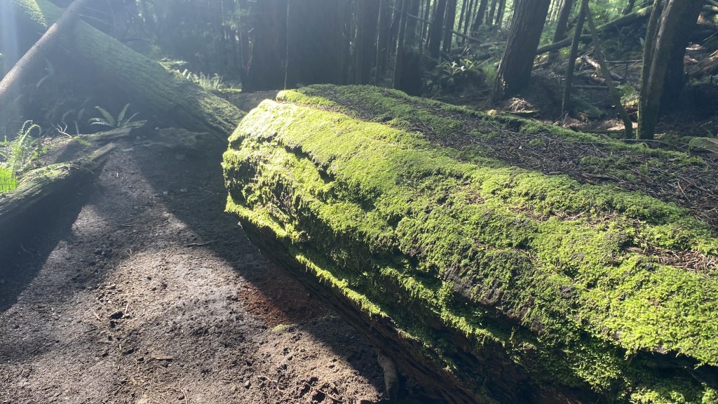
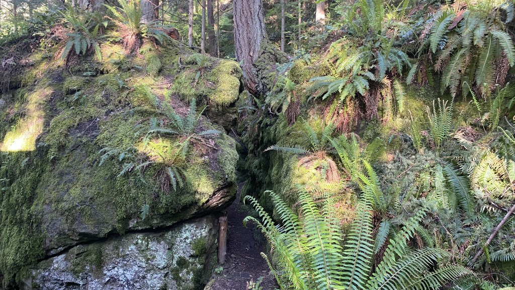
I came across a feature on the map called Talus Rocks. Talus is generally large rocks on various faces of mountains. Sometimes I come across several thousand feet of the stuff – creating a sea of rock upon which to climb. This formation however was more a set of Glacial Erratics – large boulders which were moved by glaciers thousands of years ago. Often these are deposited in the most random of areas, making one believe that giants of long ago left them in place as it’s nearly impossible to imagine how these erratics otherwise arrived at their current location.


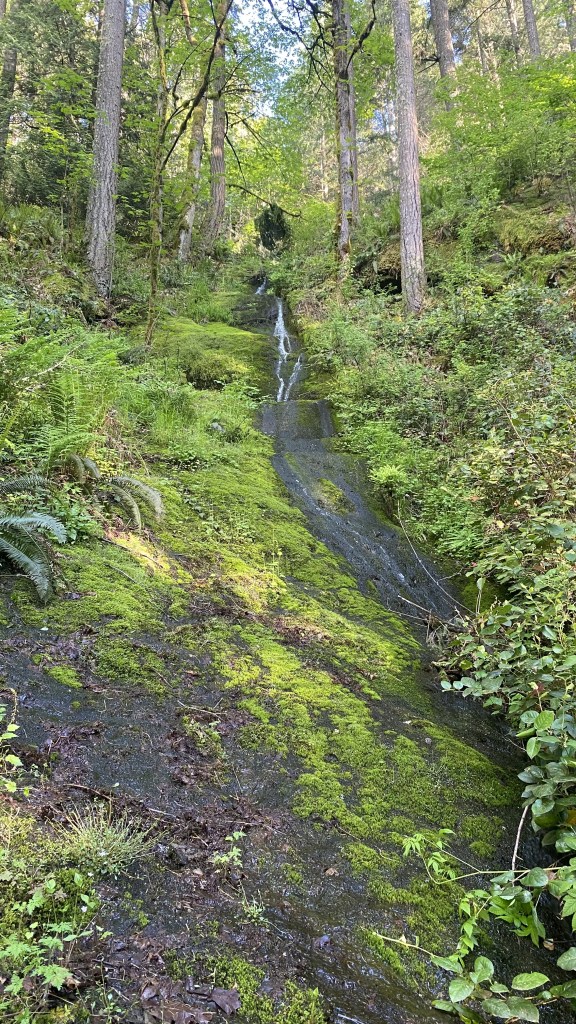
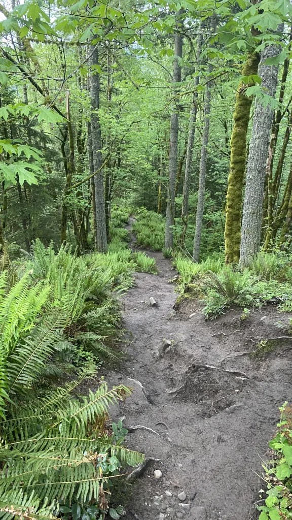
The final stretch down was much more verdant that the summits and lush with greenery, spring runoffs, and a rather pleasant walk out. Although this was not my usual epic outing, it was fun for a conditioner as I knitted together many different trail sections and made great progress on my goal of hiking all the trails on Tiger Mountain and the Issaquah Alps.
https://www.alltrails.com/explore/recording/tour-du-mont-tigre-42e9fb7