
KT Daniel (Daniel, but we call him KT as Carter’s roommate is named Daniel) reached out and wanted to go HikingWithHadland. KT joined Carter and me on our trip to Kyoto, where we were discussing future plans to climb Mount Fuji. We finally made it out. He kindly offered to drive us in his 4Runner – VooDoo Blue – such an excellent color. The road in was very rough and, after the thunderstorm, massively flooded – we put the Runner to the test this day!


Alice Creek – One of three streams we would cross for the day. On the way up, we carefully navigated rocks, logs, and mud.


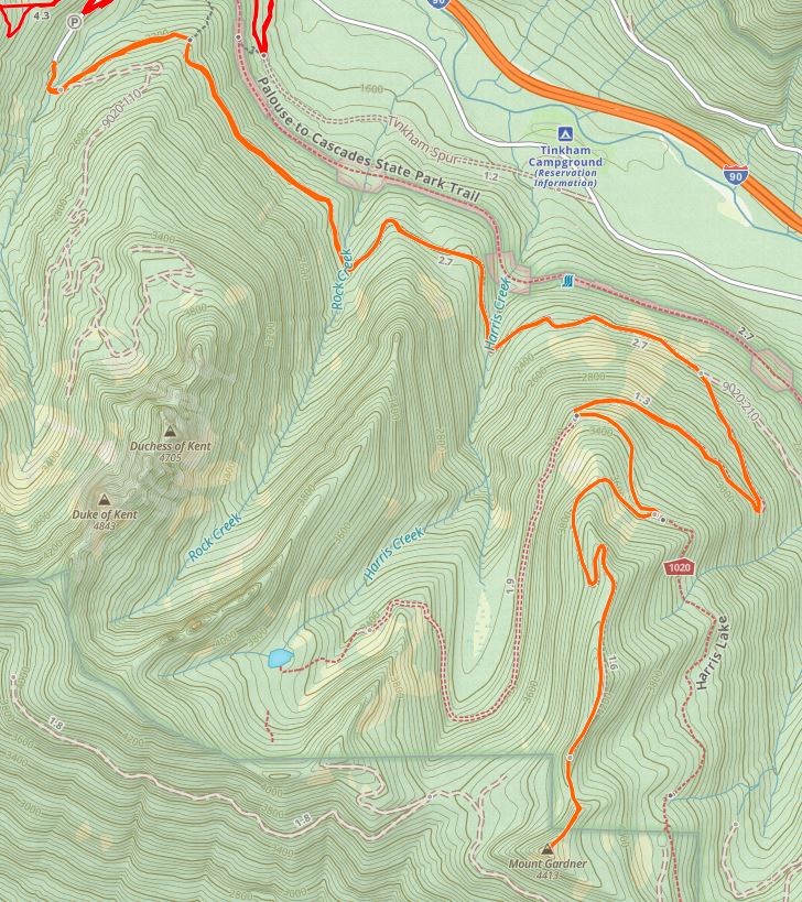
Working our way up the decommissioned forest service road.


Harris Creek – The outlet of Harris Lake


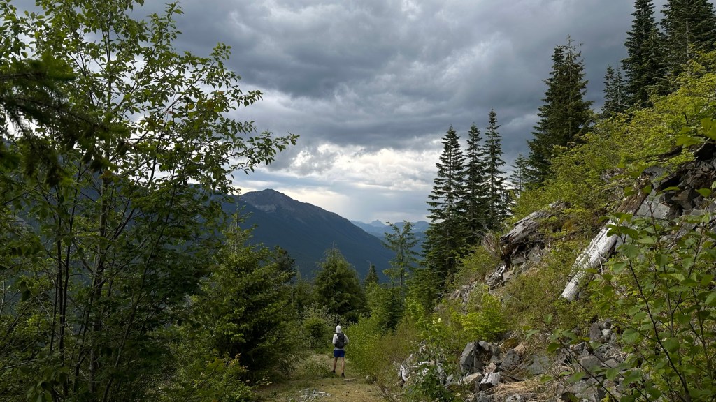
Once past Harris Creek, the trail started to go up. It was hot, and we were starting to feel the effects of the heat and humidity. We were already thinking about how good a cold beer would taste upon our return. As we ascended, we could see and hear I90 in plain view. It was loud. The road cut through slopes of talus – clearly visible from the freeway. Walking through this section above I90 was pretty cool, and the area seldom traveled.


And soon, we learned why. The road soon became choked with the dreaded slide alder. It was so thick that I could not see KT five feet in front of me. We held our arms high and waded through the bush. It was terrible. After several hundred meters, it finally thinned and we were able to make better progress. Literally like swimming through bushes.


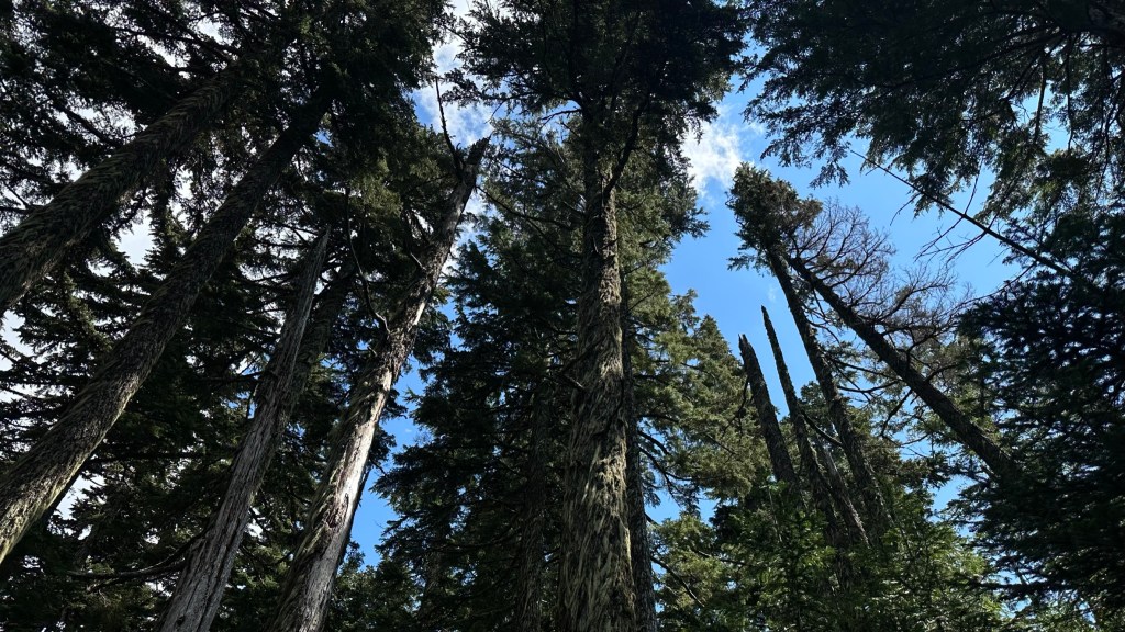
We finally made the ridge to the summit. The trees here are much more mature than the ones lower down the mountain and covered in beard moss.


Lots of great moss formations on the rocks and trees.

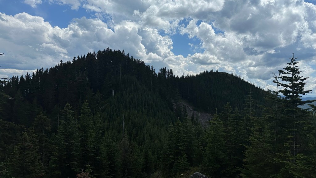
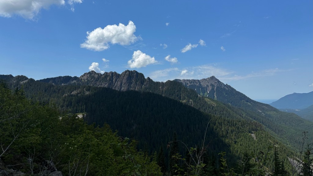
Finally our objective is in view. The true summit is on the right, but we would have to drop down and climb up the mountain on the left first.


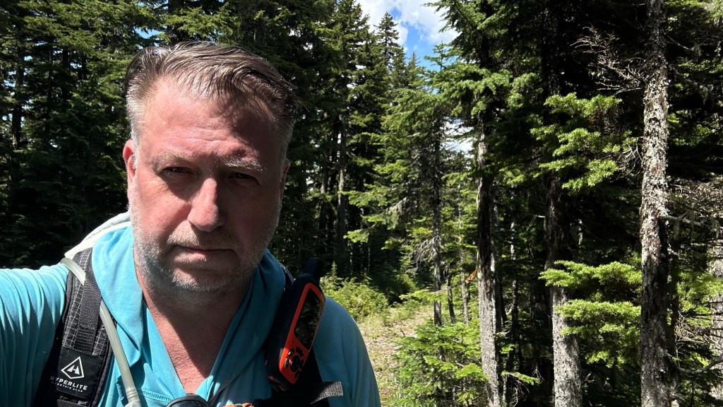
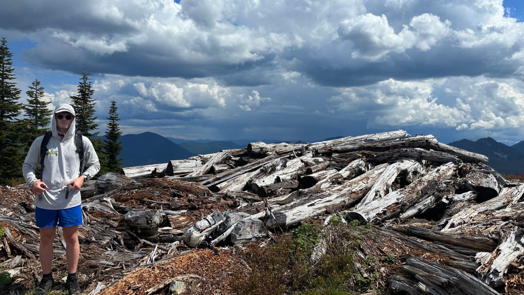
The final push up. We reached the forrested peak following a faint booth path – it was flagged but we did not see them until the way down. The push to the true summit involved a brushy bushwhack to a crappy slash pile of old trees. KT’s always smiling.

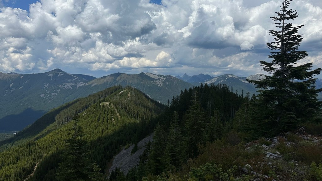
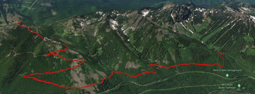
Looking back at our route of the ridge and the Alpine Lake Wilderness in the far distance with Kaleetan Peak, the tooth like peak in view. Clouds were rolling in to provide some respite from the heat. Little did we know that a storm was rolling in.

KT Looking back at the Duke and Duchess and McClellan Butte. We started at the rightmost highpoint in the distance and we needed to make our way back, over seven miles to go.


Headed back through the schwack.
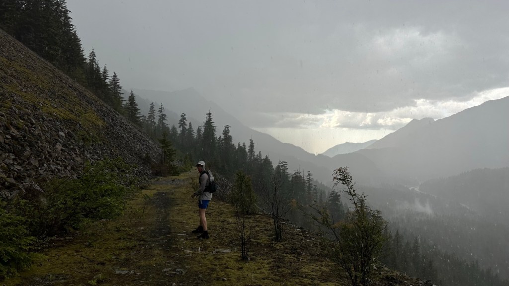
Literally chasing daylight as a thunderstorm rolled in and pelted us with pea-sized hail and hard rain. Of course, I left my shell at home as the weather was supposed to be sunny – never again. We went down as fast as possible and ran through the stream crossings as the rocks were too slick to navigate safely.
It was a great first outing with KT. Super long but a great hike through some beautiful scenery. This was the last of my South I90 peaks in the Harvey Manning Challenge – only one more to go.
As always, thanks for HikingWithHadland, @hikingwithhadland, @hikingwiththehad