
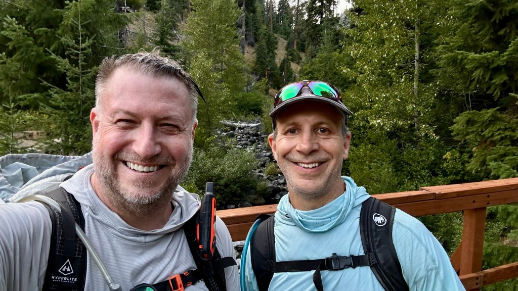
I have been wanting to get back out in the Teanaway since October 2020 when I attempted Earl Peak and a snow storm came in and nearly blew me off the mountain. Joe aka “Unkle” and I departed Seattle and it was finally a cool and cloudy day. Driving over the pass the skies turned blue and the forecast was for a hot day. When we arrived at the trailhead, the temperature was already 85 and climbing (my Garmin recorded a max temp of 102 – I am not sure if it was accurate, but it was way too hot for me!)

The first mile was terrible – hot and I was not feeling great – too much Scotch at Bruce’s birthday party. Fortunately the trail was mostly in the shade which made the hike up to the junction manageable.


I recall this being a nice trail with some large old trees and cool mosses.


We made our way up the trail to the turnoff for Earl Peak. I took the opportunity to filter some more water as it would be the last source on the trail.


We made our way up the switchbacks to the saddle of Earl Peak. As we climbed, Mount Stuart started peeking into view along with the ridges of Mary and Bean Peaks.


We reached the saddle and views to the East opened up showcasing many peaks in the Teanaway.

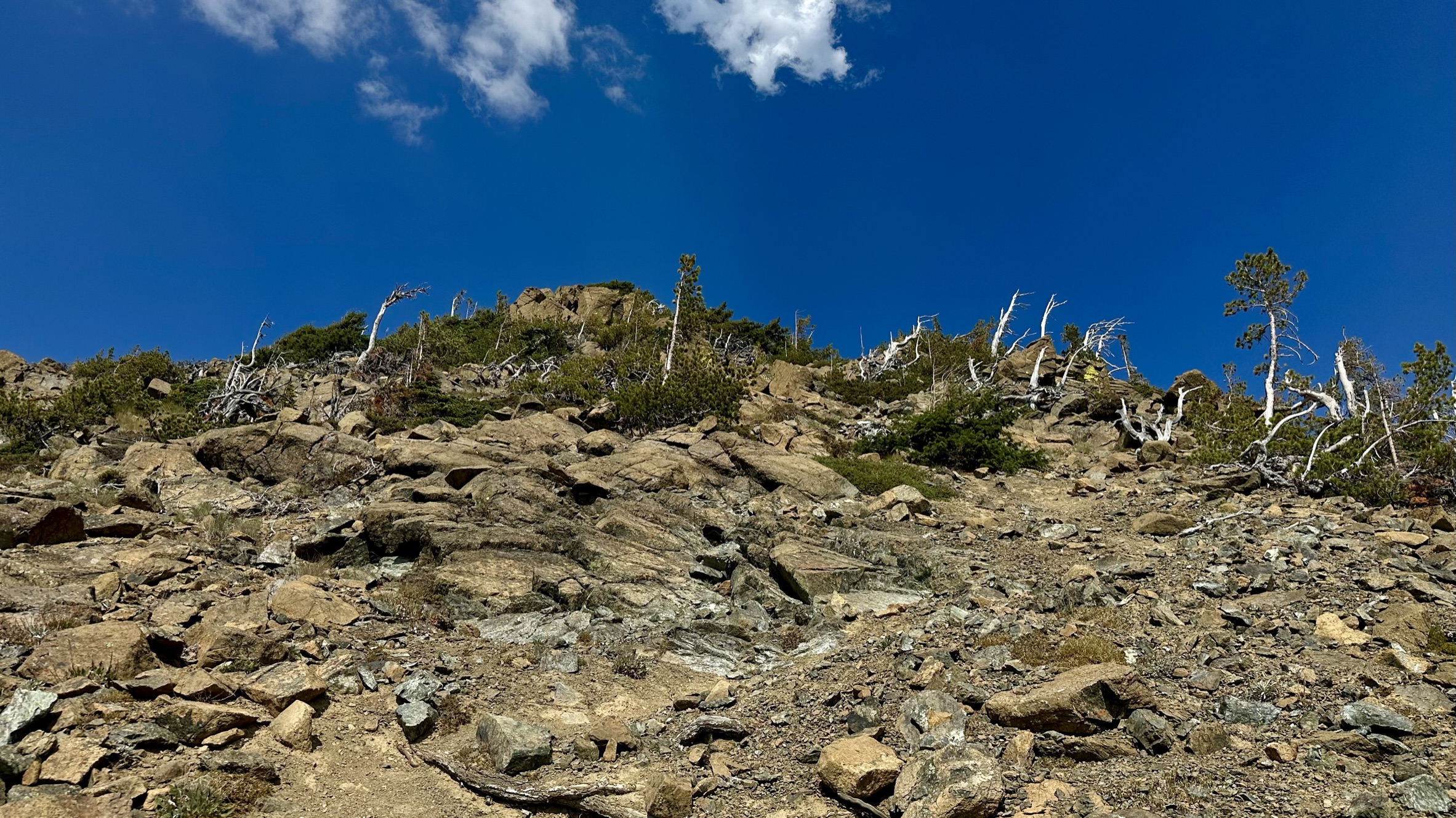
It was only 800 feet to the summit, but seemed to take forever as there were several undulating false summits and it was very sun exposed. The rocks were radiating a tremendous amount of heat.


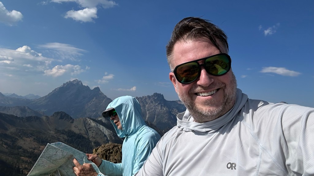
Joe found the summit register in a hole where yellow jackets made a nest. There was a haze in the horizon from recent fires.


After enjoying the summit for about 30 minutes we decided to follow the ridge for a while and find another way down. We did not have time to complete all the peak we had planned, plus it was very hot and I was not feeling well, and my approach shoes were rubbing my bunions the wrong way making walking and scrambling painful – I need to get me a pair of those fancy red shoes Joe was wearing.

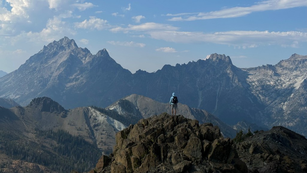

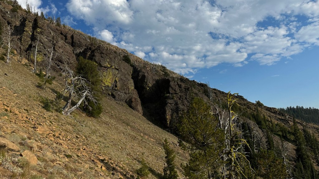
We descended the ridge, but Joe took a line too low and we missed the bootpath and had to side hill for a while until we regained the trail. My feet were hurting and I was cursing Joe for not going back the way we ascended, but the ridge was beautiful and with better footwear would have been much more enjoyable.


We finally found a spot on the ridge we thought we could descend without getting cliffed out and were fortunately correct – we were able to follow a line of trees that seemed to rejoin the forest floor and trail down.


As we hiked all day we came across a glossy, smooth rocks called Serpentinite. Large portions of the peaks in this area are formed from it.


A few parting shots in the waning daylight.


We returned to the car, hydrated with Gatorade and made our way to Cle Elum for a burger at the Sunset Cafe – advertised as the best burger in town. It was great as we were starving and drank several pitchers of water before making the drive home.
As Always, Thanks for HikingWithHadland, @hikingwiththehad.
https://www.alltrails.com/explore/recording/earl-peak-dfbbdd2