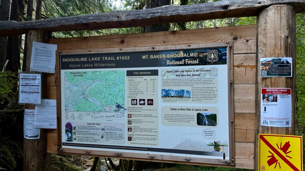
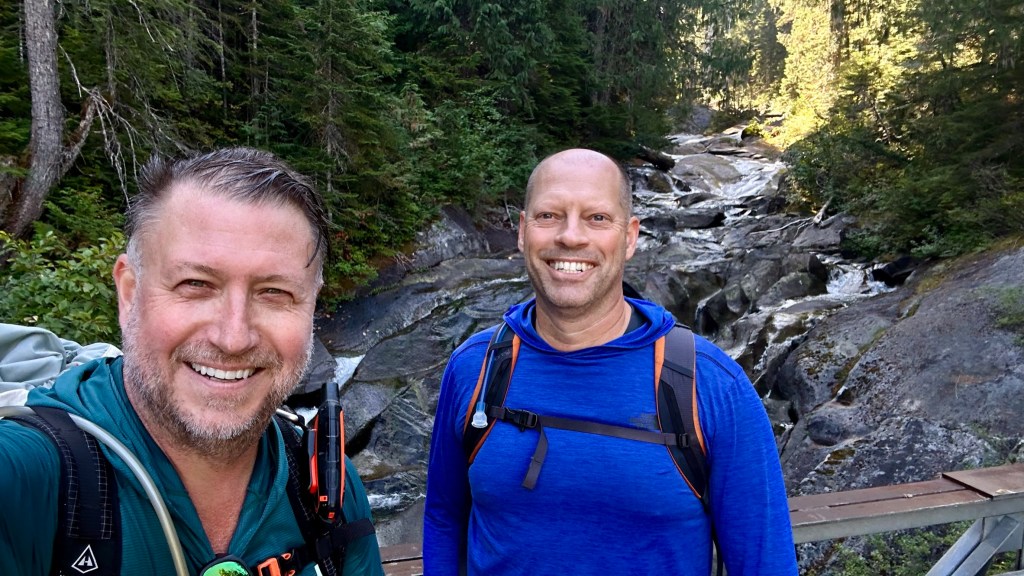
My hiking friend Kevin Hall and I caught up last month after a four-year gap in hiking together. Kevin and I summited Mount Rainier together in 2019 and Kaleetan Peak that same year. He wanted to through hike the Alpine Lake Wilderness from Lake Dorothy to the Middle Fork Snoqualmie Trailhead. I had also researched this route, as earlier this season, my friend Glenn and I hiked the Taylor River trail from the Snoqualmie Lake trailhead to the cutoff for Snoqualmie Lake and Lake Nordrum earlier this summer, and I was game for a great outing. The route was 20 miles one way as the Lake Dorothy trailhead had a washout on the forest service road about four miles from the trailhead. This would add distance, but it would be along a wide gravel road with approximately 800 feet of gain over four miles.
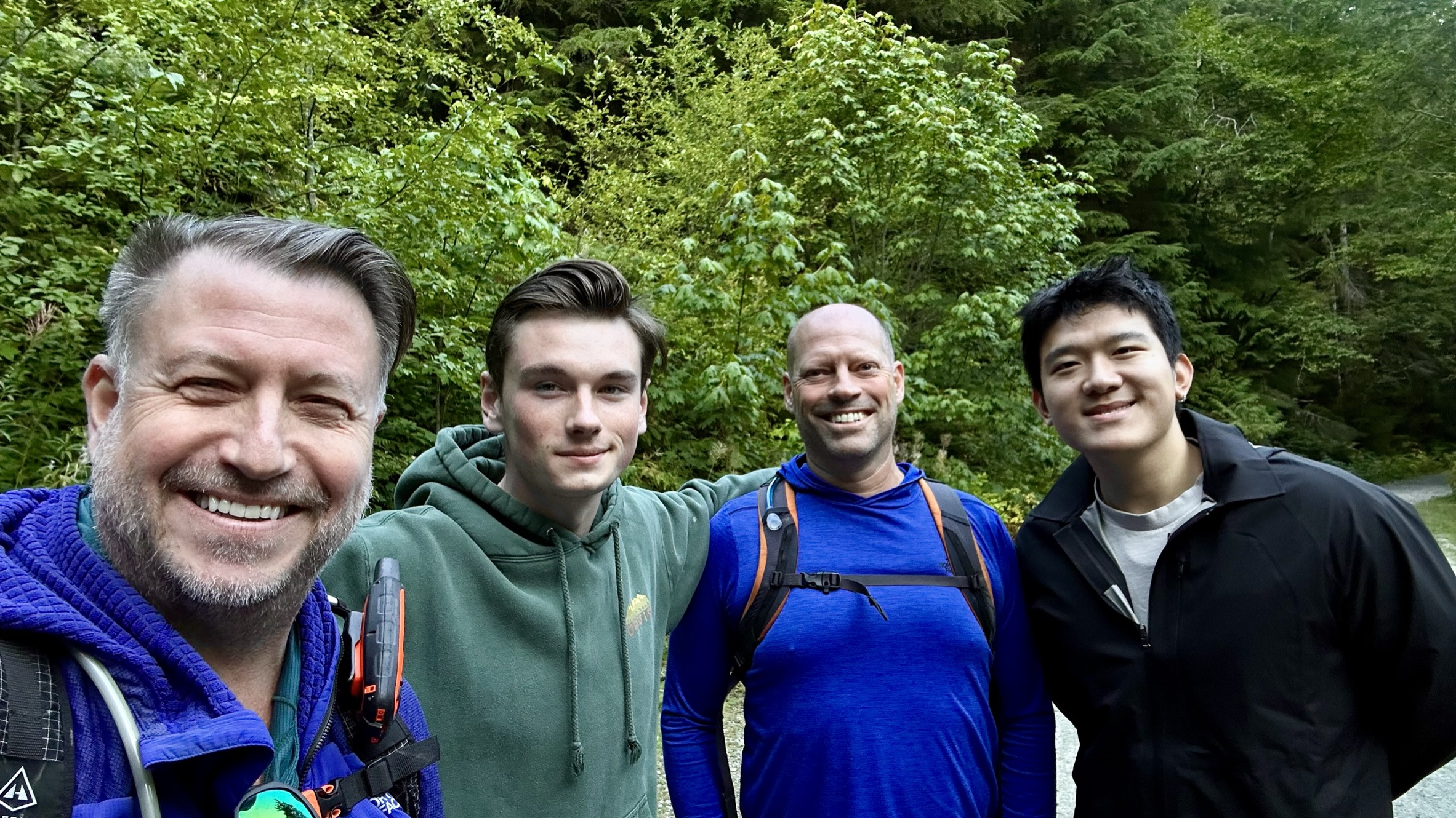
Given this was a through hike and both endpoints were remote with no cell service, Kevin and I would need to drop a car at the destination and arrange transportation to the start. Fortunately, my son Carter agreed to wake up at 4:30 AM to drive us to both locations. Even better, his good friend Jun agreed to accompany Carter so he would not need to go alone on the return, which was great as the final destination was 15 miles deep into the Miller Valley drainage.
It was a chilly morning at the start – projected temps for later in the day would be in the upper 70s.
Early views of the road walk-in


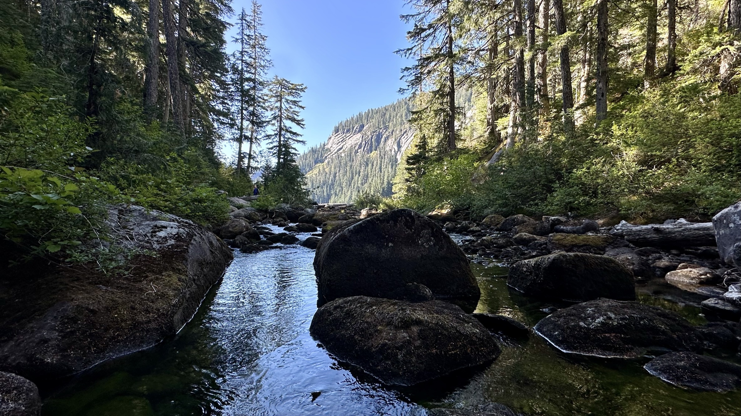
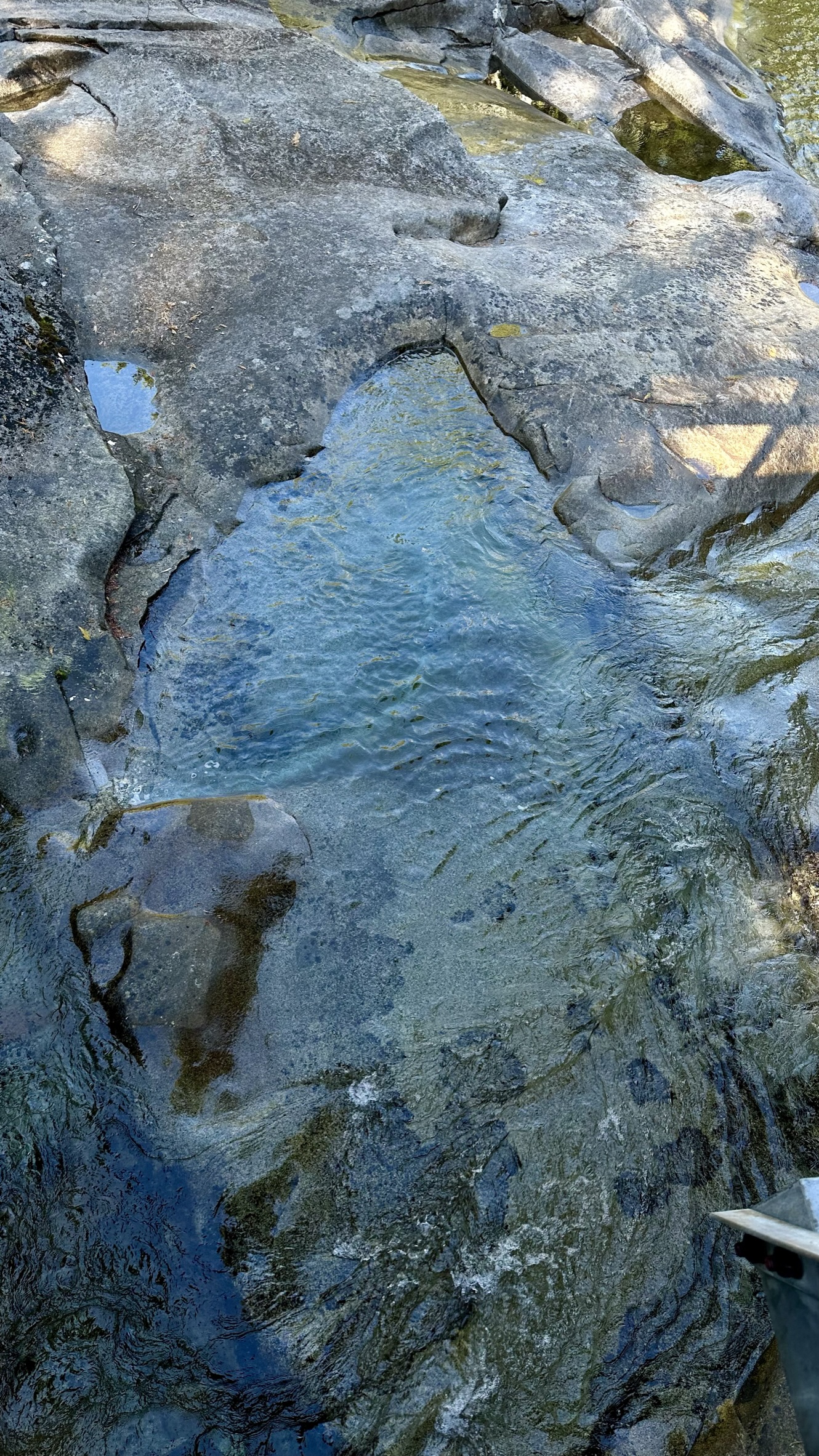
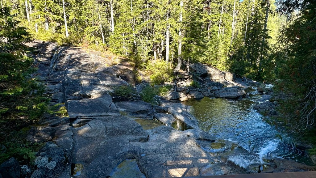
Once we reached the trailhead, we had about 1.7 miles and 800 feet of gain to reach Lake Dorothy. My son Carter camped here a few times in Boy Scouts, but I had yet to visit. I am glad Kevin suggested this hike, as it was stunning. The trail meanders through many trees and rocks and crosses many parts of the East Fork Miller River and Camp Robber Creek. There were many polished rock slabs with cascading water flowing and emerald pools of water that looked perfect for a post-hike dip. The trail also had several hundreds of yards of built wooden steps and bridges, making it rather beautiful for all the man-made intrusions. I believe that this trail was historically very muddy and wet with all the water running through that area, and given its previously short lake access from the trailhead of about 2.5 miles to campsites, and also the relatively family friends access, that folk thought it reasonable to build all this infrastructure. I have mixed feelings as I prefer more natural settings, but I appreciated the workmanship and effort to develop the trail.


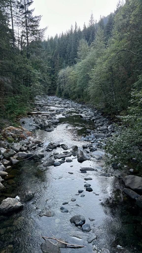
In addition to all the trail improvements, we were treated to many beautiful water views along the way. I love hiking along rivers, streams, and creeks.


Past the water crossing, we climbed the final uphill bit to the outlet of the lake and our initial views of Lake Dorthy.


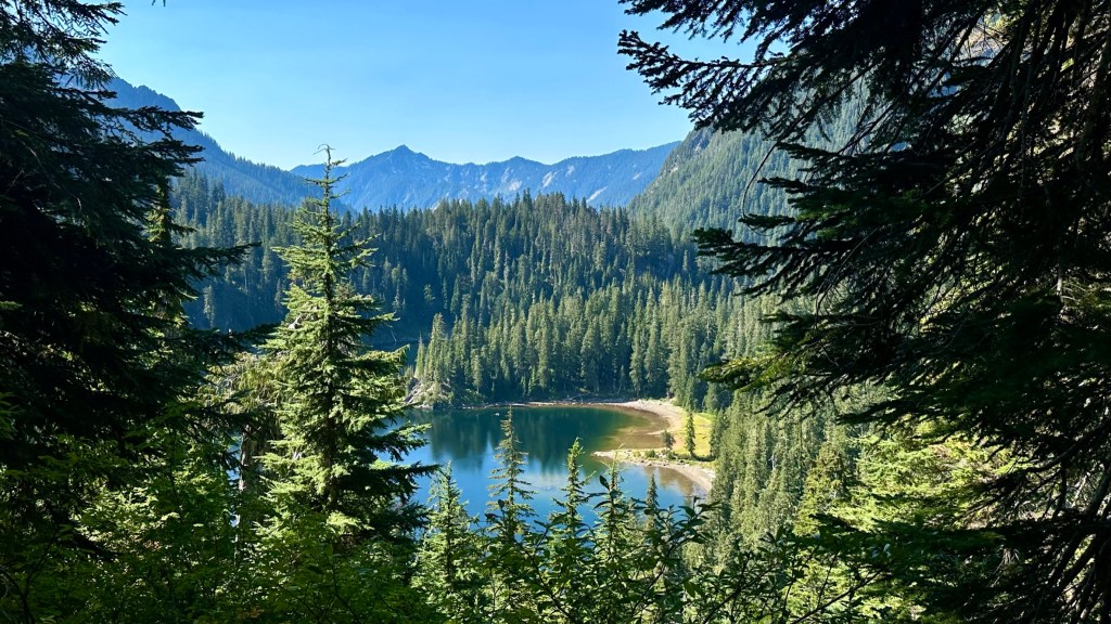
More views of Lake Dorothy as we made our way along the East side of the lake. The trail would take us around the South side and then up a ridge to a saddle, where we would descend to Bear Lake. There were several small islands in the lake. I can see why this is a popular camping destination.


Wrapping our way around the south side of the lake.


Onwards and upwards to Bear Lake. We ascended several switchbacks as we made our way to Bear Lake. Sadly, we had no views of Lake Dorothy as we reached the saddle as it was covered in trees.
Lobster Mushrooms and Blowdowns.


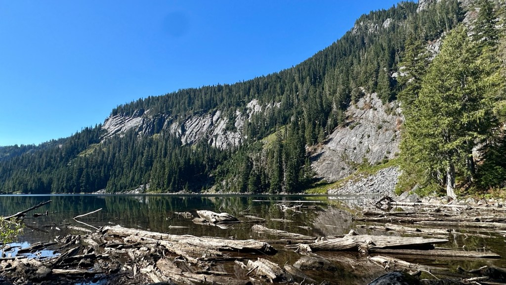
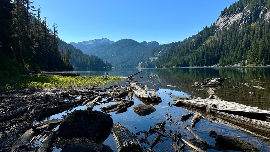
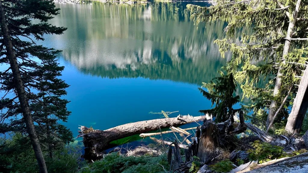
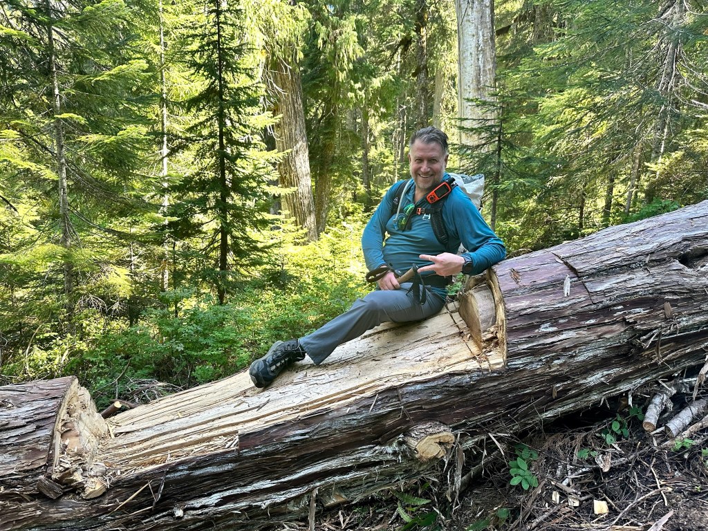
We finally made the saddle and had our initial views of Bear Lake. Bear Lake and Deer Lake are so close we hiked right past Bear Lake in search of a lunch spot and ended up on the shore of Deer Lake. These lakes are very remote, taking 10-15 miles to reach from only two trailhead options. Deer Lake photos are below. We stopped for about a half hour for lunch and to filter water. Kevin took a swim. I was tempted but did not want to hike another 10 miles in potentially soggy clothing.


As I mentioned before, these lakes are very remote. On the way to Lake Dorothy, we encountered three people. As we departed Deer Lake, a solo hiker passed by. We would only see a couple of other parties at Snoqualmie Lake and on the way done to the Taylor River Trail.
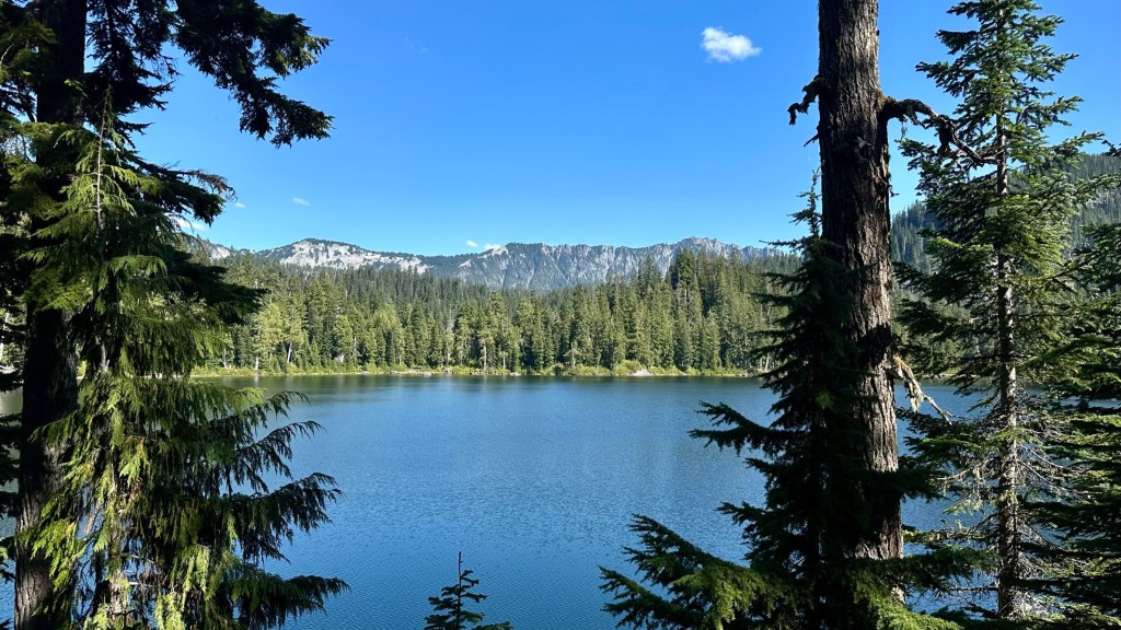
After lunch and a swim, we made our way to Snoqualmie Lake, our final lake of the day. We dropped about 600 feet on the trail and only found access to the lake at its outlet. As we descended, a view of Treen Peak came into view. This is a remote peak, not even visible from the Taylor River Trail that passes it, so I was quite pleased to see a seldom-viewed peak.


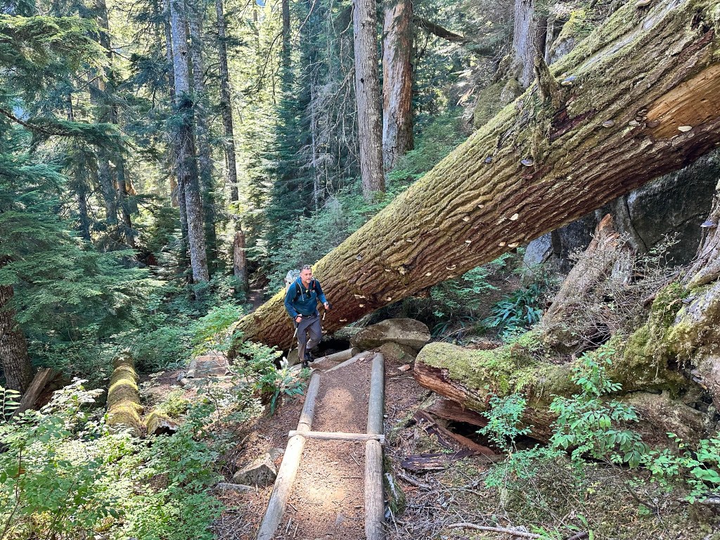
We now had to descend about two miles to the Taylor River Trail and six more miles to the trailhead. The route down was rough – lots of rocks, blowdowns, water and mud, rockslides, etc. It was a long two miles down. I’m glad we did not have to go up this way!


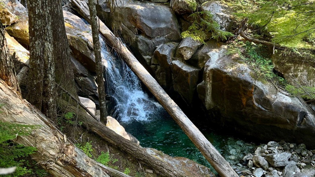


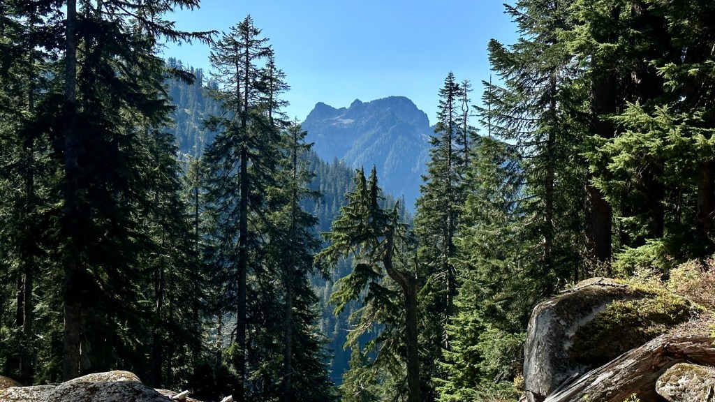
With six miles to go on a very rocky trail that was very rough on our feet, we focused on a fast pace to end the feet suffering. Parting shots below – Big Creek Falls and Mount Garfield and its North Peak.


We finally made it to the trailhead, but had another half mile walk on the road to the car as we parked in the lot that was paved. Earlier this summer the road to the trailhead was in very poor shape with massive potholes and rute everywhere – it was recently graded and is now quite driveable.
Another excellent outing with Kevin – thanks so much for suggesting this through hike – it was stunning, beautiful, and a great hike. As always, thanks for #HikingWithHadland, @hikingwithhadland, #hikingwiththehad.
https://www.mountaineers.org/activities/trip-reports/alpine-scramble-treen-peak-1