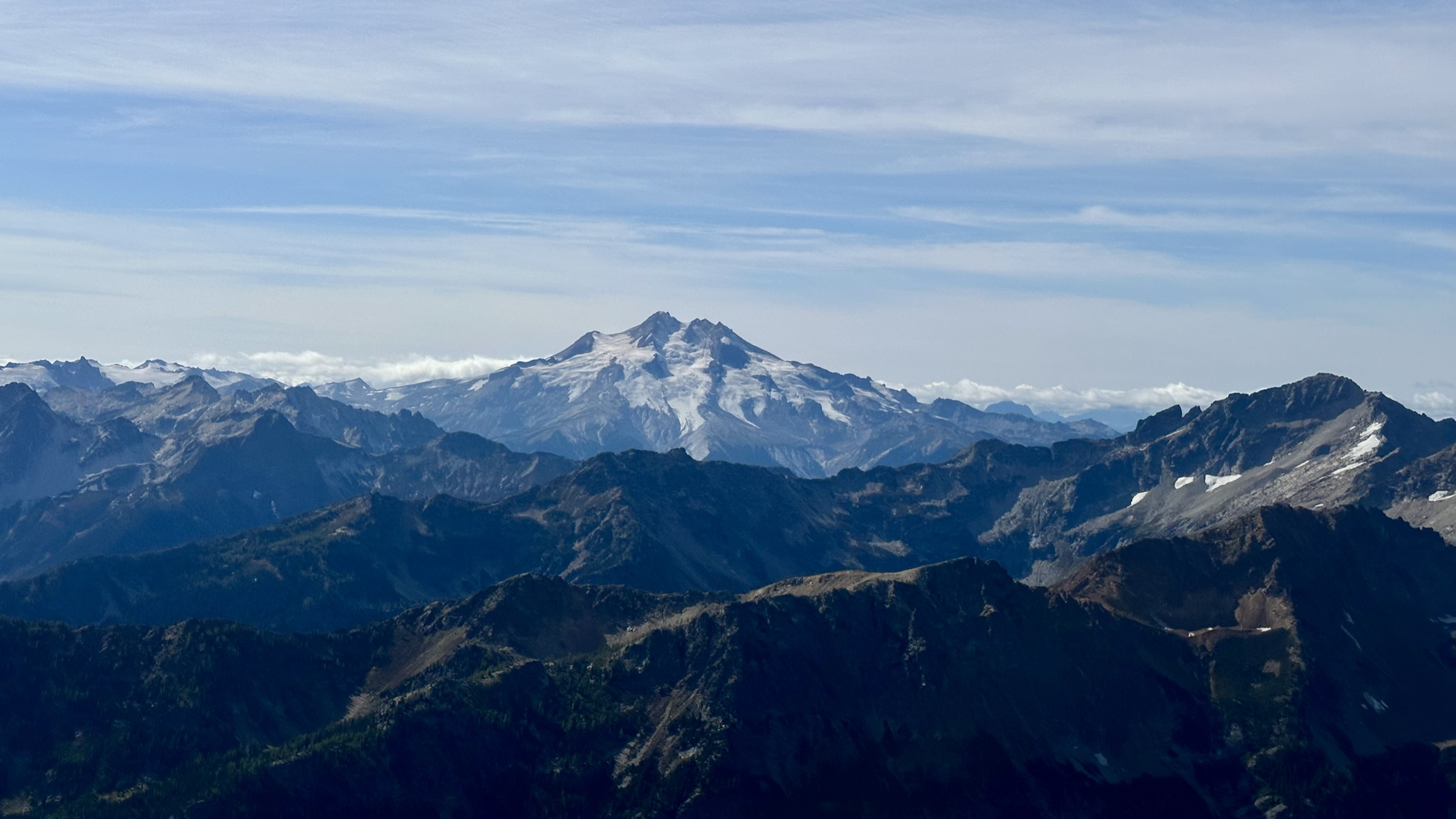
Cover Photo: Glacier Peak

I first became aware of Seven Fingered Jack several years ago when I got back into mountaineering and researched the Bulgers, the top 100 peaks in Washington state.
The Bulgers were a very informal group of climbers who set out to climb the 100 highest peaks in Washington State. This list was never “official”, but it has achieved a certain legitimacy among Cascade climbers, and it is the usual way to the Washington Top 100.
The peakbagger.com site also has a list of the strictly defined Washington Top 100, ranking only peaks that have a clean prominence of over 400 feet. These lists are very similar but do have some differences. While the Bulger list generally uses a 400-foot prominence cutoff, for volcanoes, they use an 800-foot threshold, and for other well-known summits with less than 400 feet of prominence, they make exceptions.
The differences are (thanks to Jeff Howbert for figuring all this out):
The Bulgers drop Liberty Cap, Sherman, Colfax, and Lincoln becasue they are volcanic subpeaks with less than 800 feet of prominence.
They also dropped Mount Ballard, not realizing that it had a higher unsurveyed point to the north. They add Seven Fingered Jack, Sahale, Dark, Rahm, Horseshoe, Little Annapurna, and Blackcap Mountain, all of which have less than 400 feet of strict prominence. Having dropped five peaks and added seven, they also miss out on the bottom two of the strict 400-foot list, Luna and Castle.
Any way you look at it, this is a very difficult list to complete. Many of these peaks require serious mountaineering skills, including difficult rock-climbing ability. Consensus is that the highest of the Mox Peaks (Southeast Twin Spire) is the hardest to climb, but many of the other summits feature some combination of long approaches, bushwhacking, crevassed glaciers, steep rock pitches, and overall adventure.
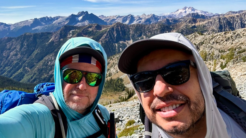
With that history established, I first encountered this area two years ago when I climbed Mount Fernow, the state’s 8th tallest mountain at 9249 feet, which I climbed with Michael DuBois, Saulius Bracilius, and Daria Kashcha. Like this climb, we started at the Philips Creek trailhead, hiked to Leroy Basin, and made our way past 7FJ to Fernow. That was a 20-hour day and a car-to-car (c2c – no camping) effort. For this trip, I convinced my Albanian friend Kleon to join, and we opted to take a more leisurely approach, planning two days and an overnight, ideally hiking in, establishing camp, and climbing 7FJ on day one, and then summiting Maude and packing out the next day.
Day One


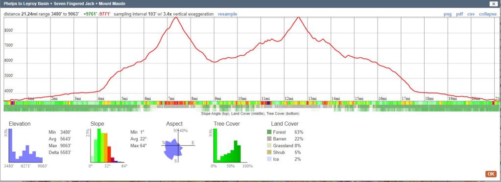
We took the Philips Creek trail for three miles to the cutoff for Leroy Basin. With full packs, we made good time at a 20-minute mile pace. This would become harder as we ascended 2000 feet on a steep trail of loose dirt and many blowdowns. We would gain nearly 2,000 feet in just over a mile and a half – about the same challenge as the Cable Line in Issaquah. I often compare trail difficulties to the Cable Line and Mailbox Peak – two mountains I know well and can benchmark relative challenges. I took us nearly 4 hours to reach camp. We were tired and inclement weather was coming in. Clearly we were not going to climb anything today, so we set up camp and watched as the weather became worse.


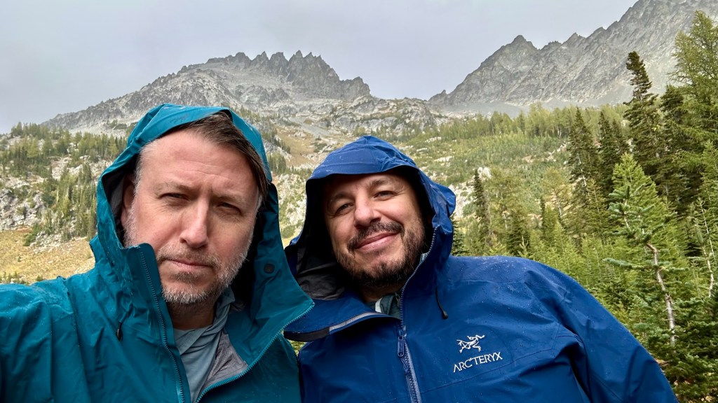

It rained most of the night, and the wind howled nonstop. We did not sleep well and woke at 6:30 to pee and decided to go back to sleep. We woke three hours feeling better and set off to climb 7FJ – departing late at 10:45. It looks so close. How long could it take to reach the summit?
Day 2
.
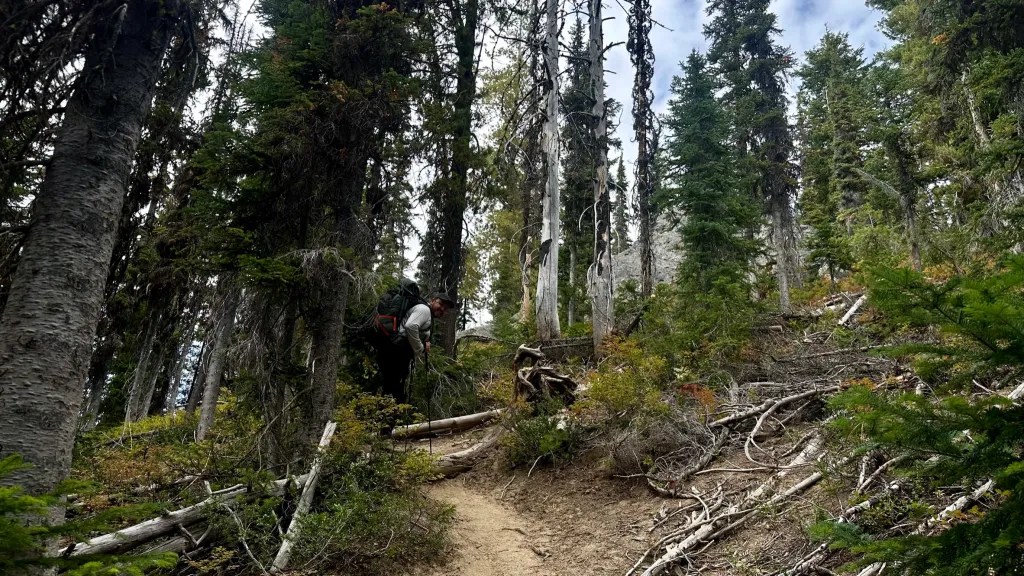
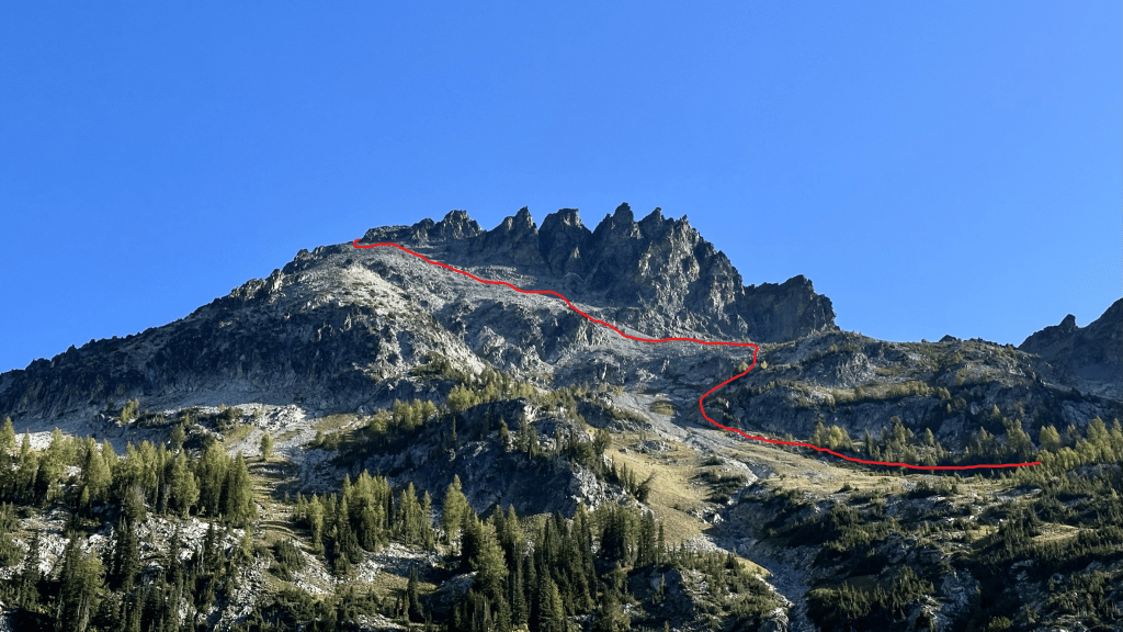
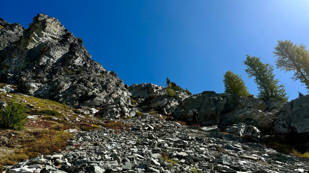
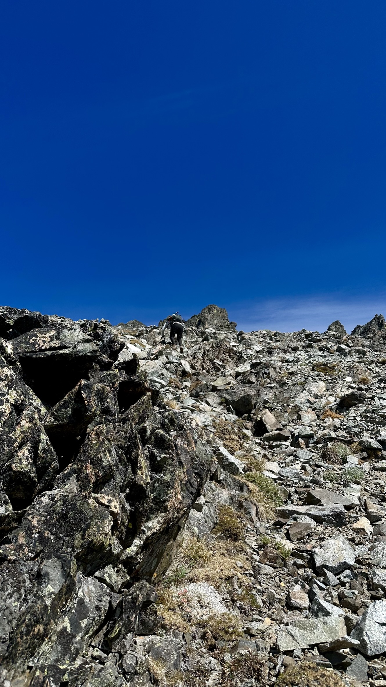
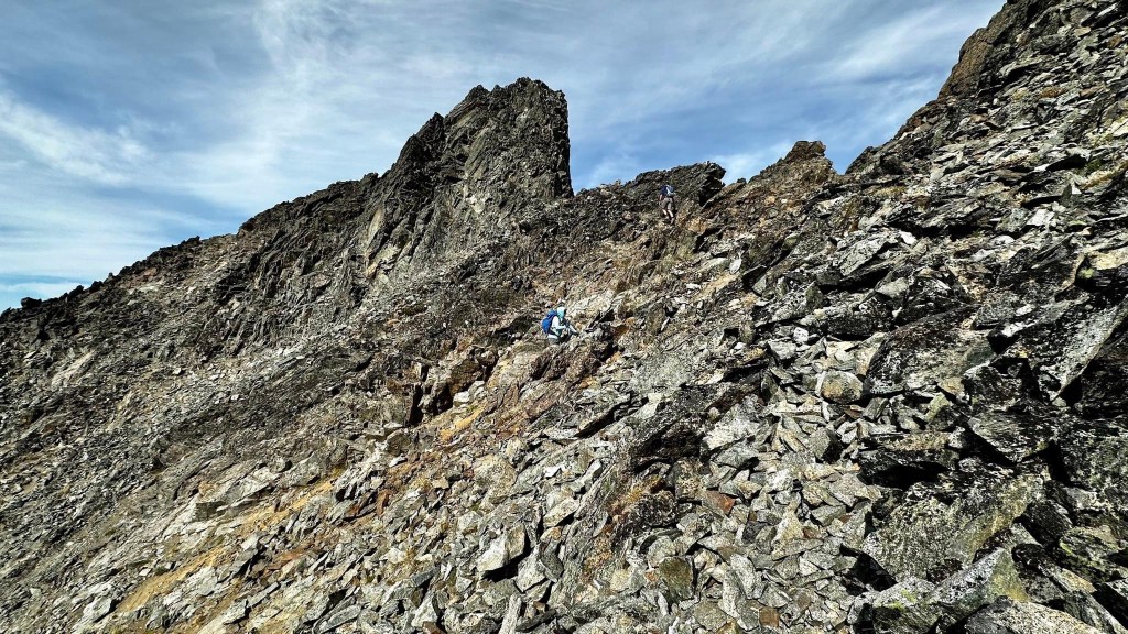
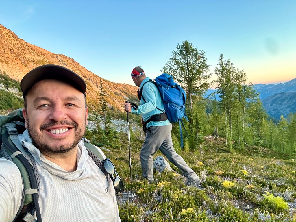
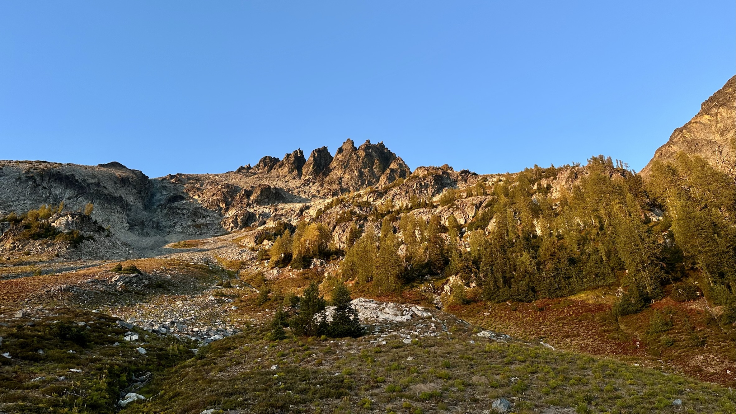
Kleon and I set off on the trail that quickly went uphill after the cutoff from the Maude trail. Fall colors abounded with beautiful reds, golden yellows, and many shades of green as we ascended the 7FJ trail. The trail went straight up until we reached a broad basin and creek crossing. We then continued upwards, following a stream gully, skirting below a cliff band, and eventually reaching a broad basin around 8000 feet, where we took an extended break and assessed our route up.


We were now above the tree line and had 7FJ to our left and Maude to our right. We assessed the routes we downloaded and plotted our course towards the summit.


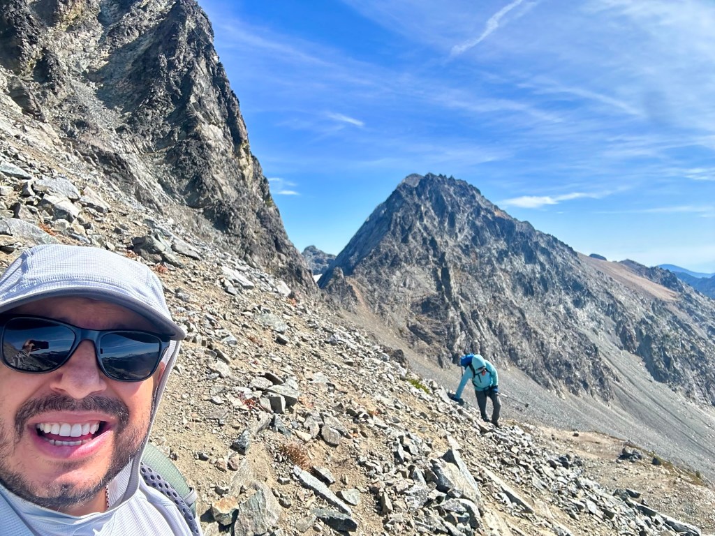

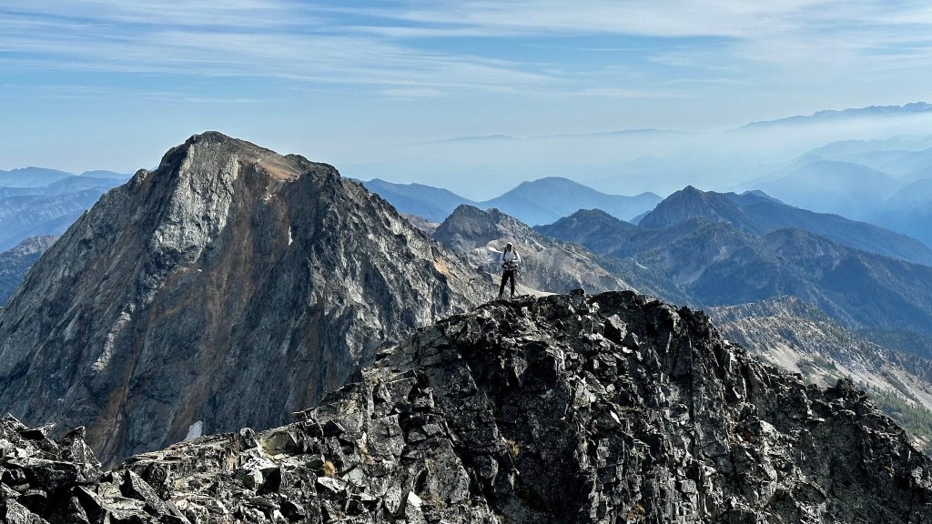


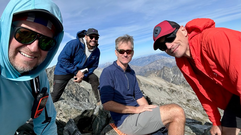
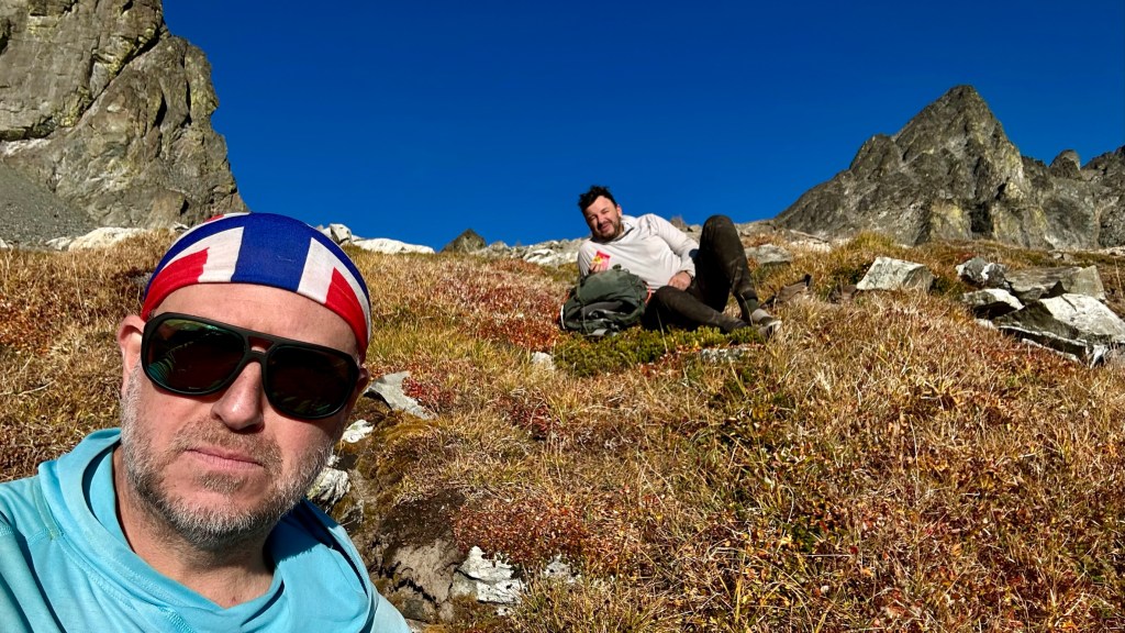
We finally made the summit after 5 hours and met some other climbers. Glen Anderson in red is a climbing colleague from PNWPeakBaggers and also WTA. We knew of each other, and meeting someone who knows who you are on a mountain summit was fun. Gerhardt is his climbing partner. We would see them the next day on Mount Maude.


The summit register. A shout-out to Rochelle Garcia – her entry is on 9-10-2023. We were in the same Mountaineers scramble course a few years ago – small world.

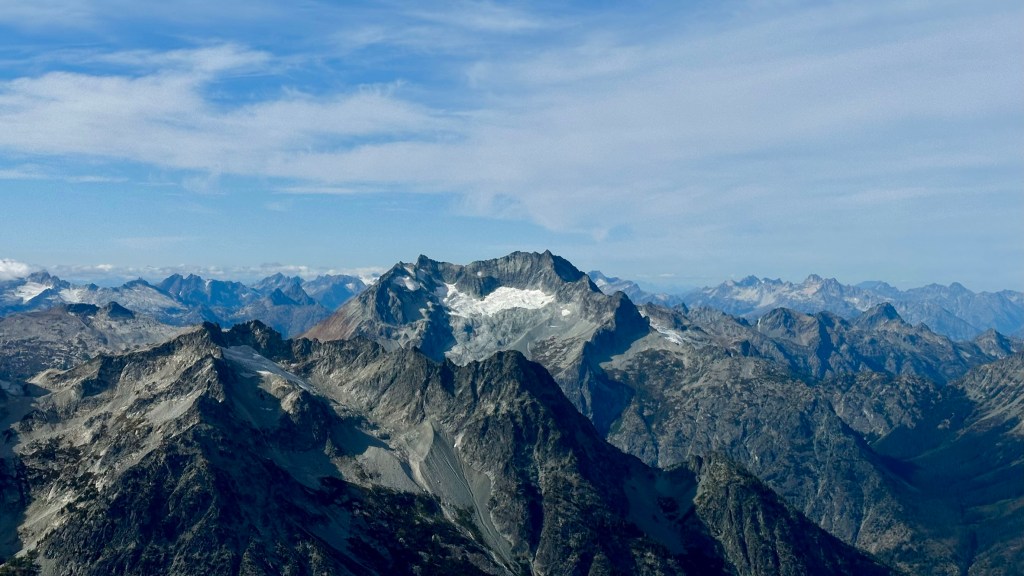
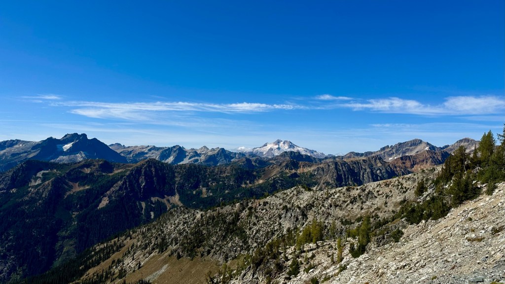
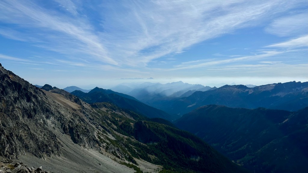
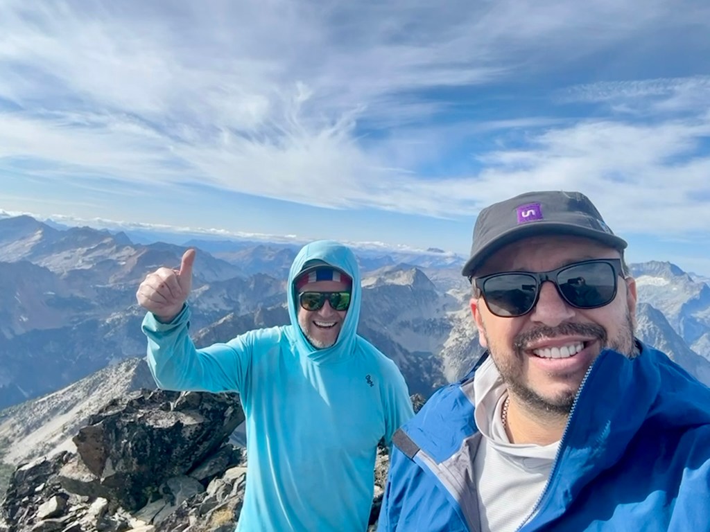
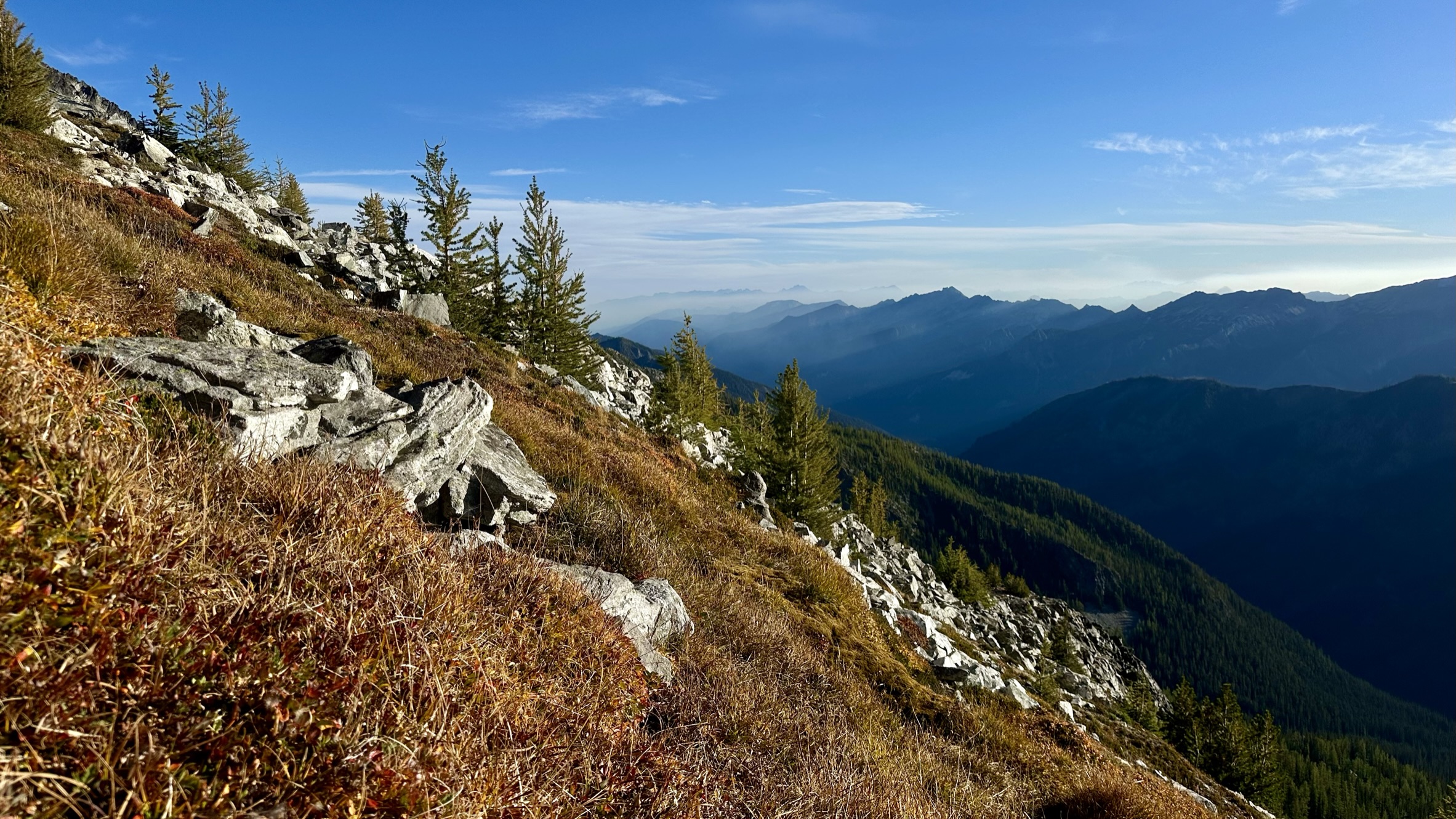
More summit views.


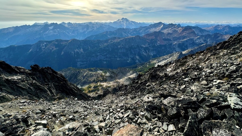
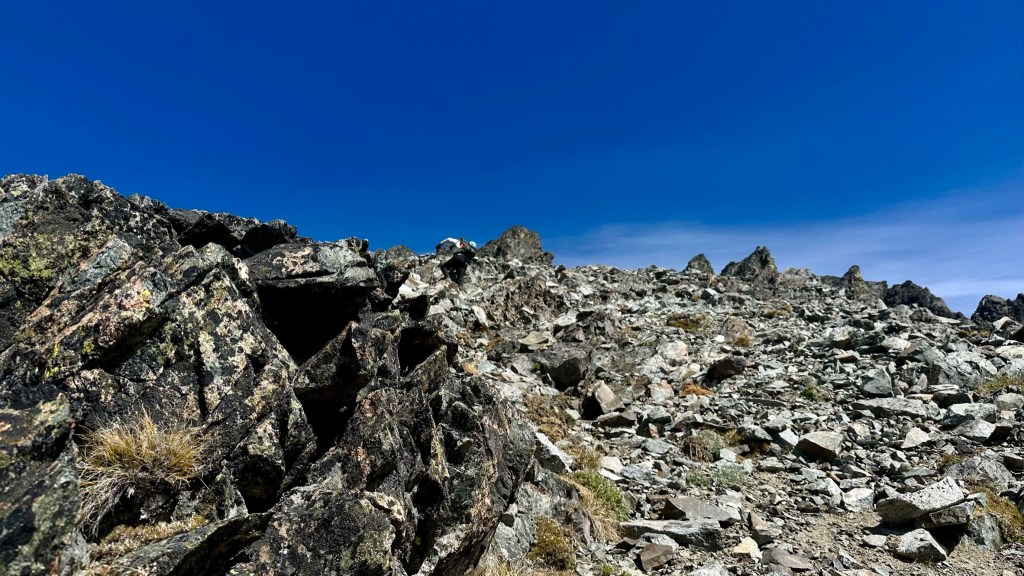
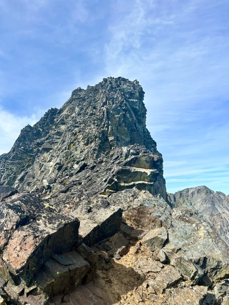
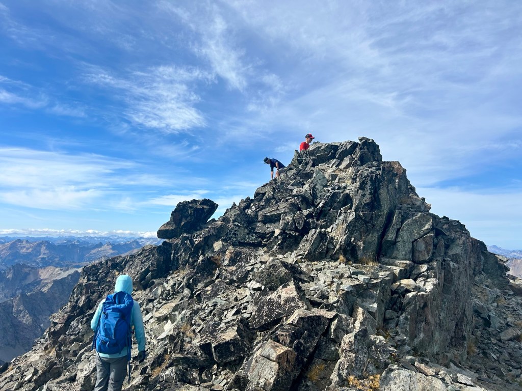
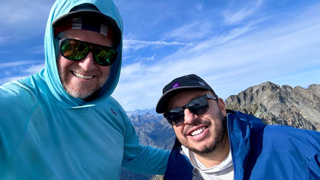
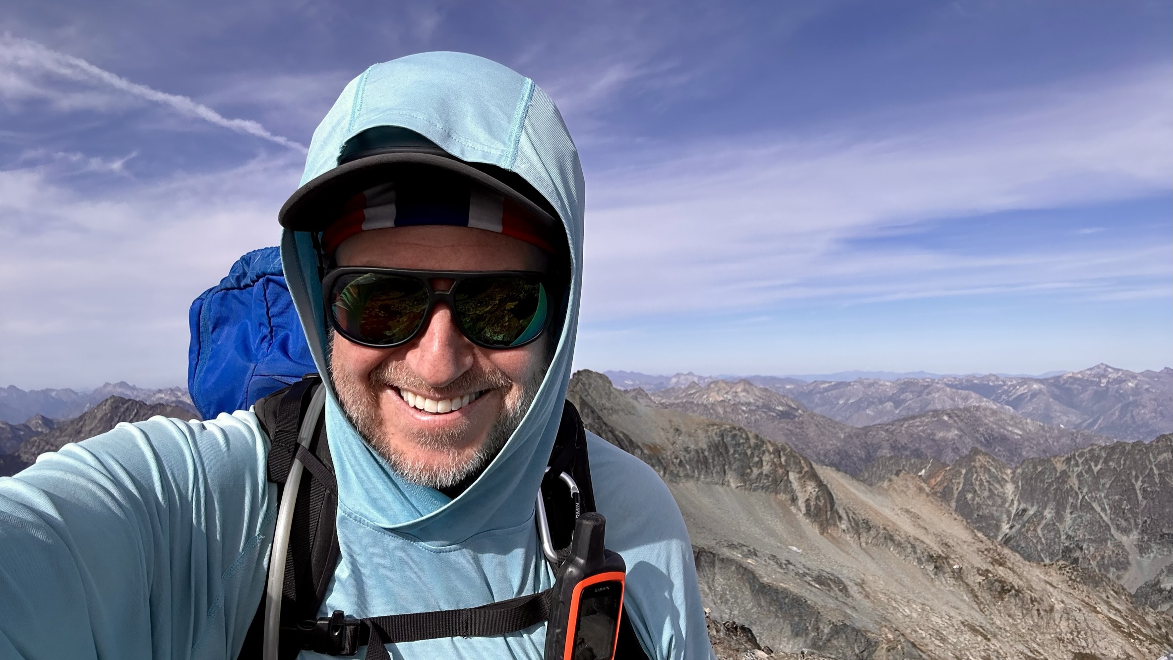
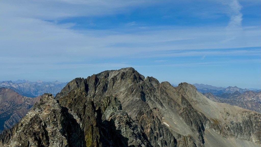
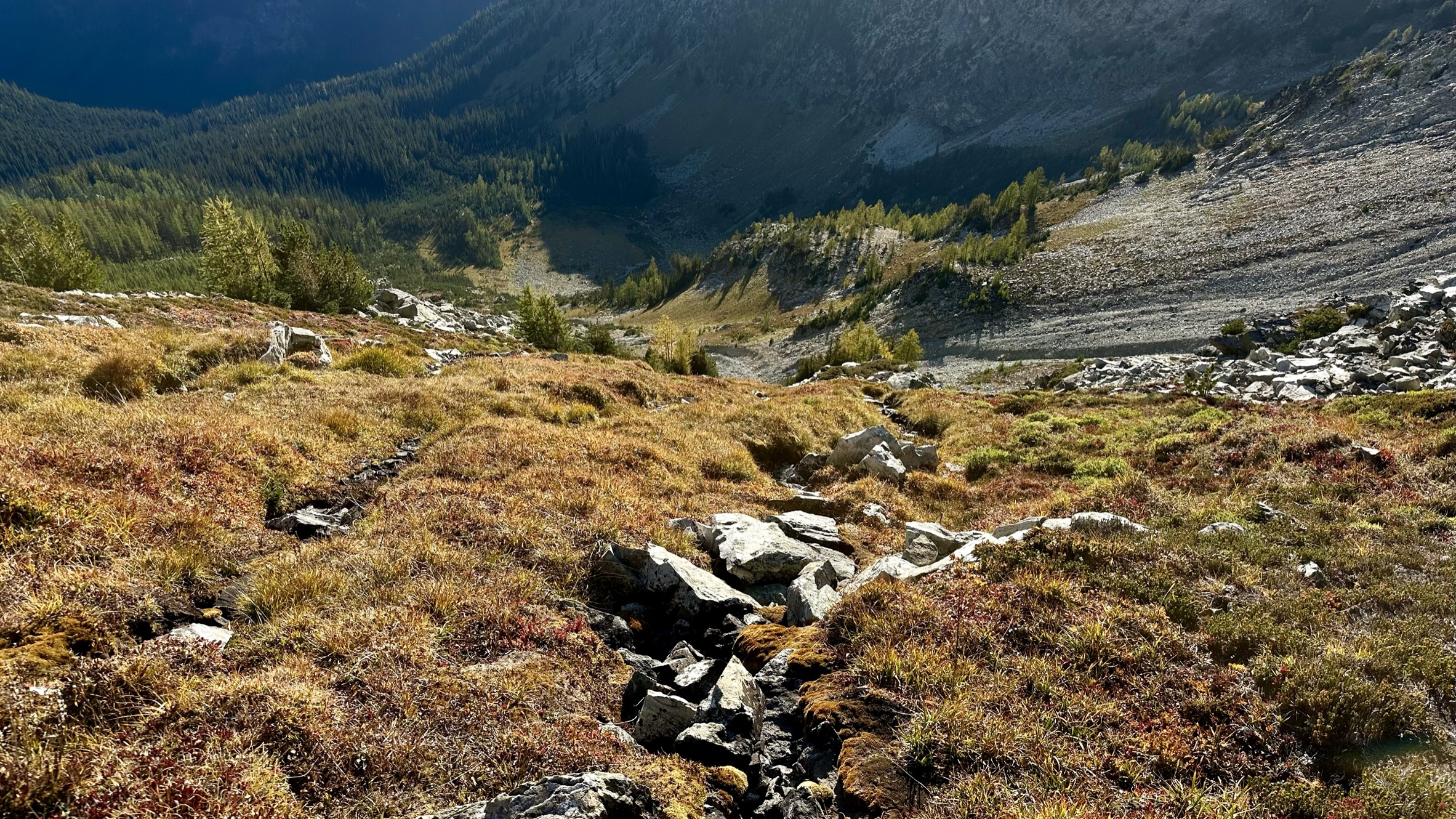
Views and fingers on the descent.


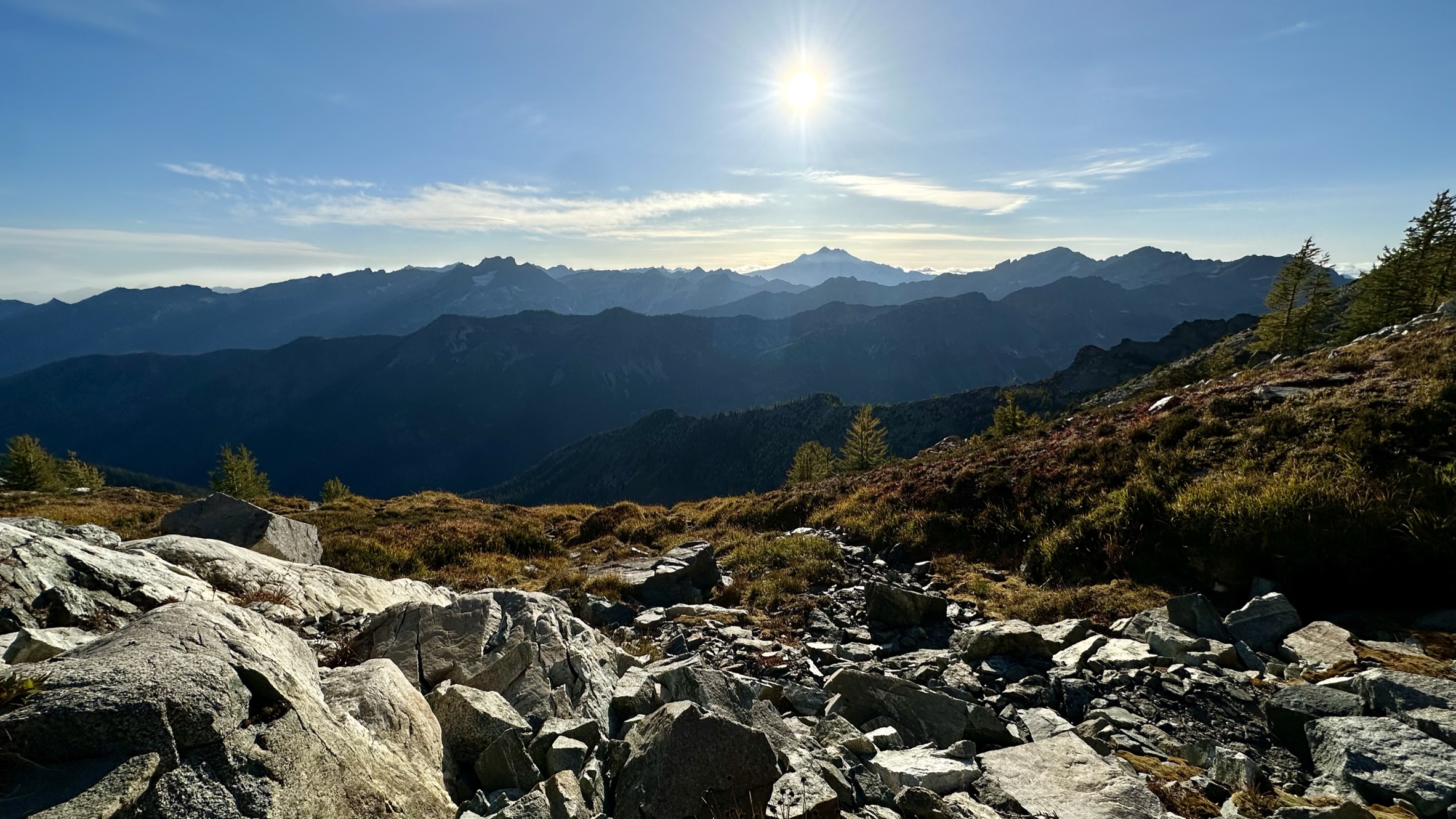
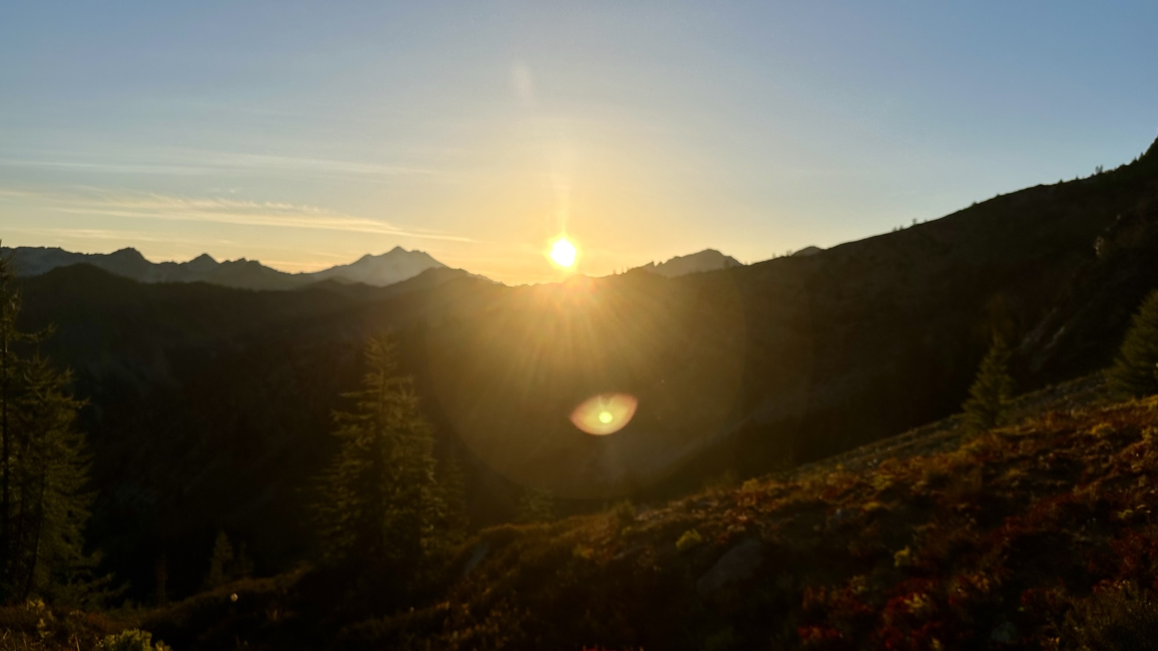
After slip-sliding our way down the crappy chossy rock, we finally reached the broad plateau at 8000 feet and stopped for a short rest to enjoy the setting sun.


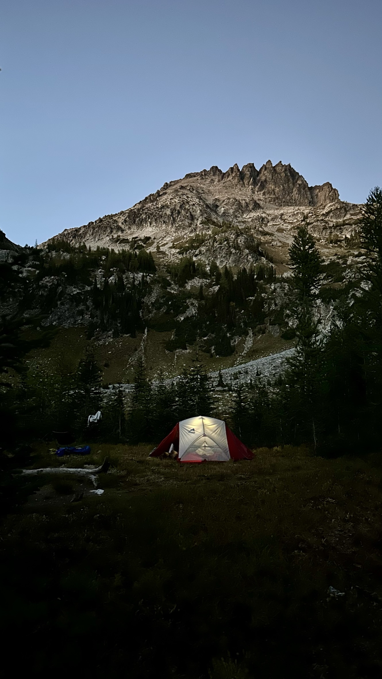
Back at camp, we ate dinner and prepared to climb Mount Maude in the morning. Fortunately, the skies were clear, but the night was much colder.
As always, thanks for #HikingWithHadland, @hikingwiththehad.