KT Descending the main peak, making his way down to the saddle.
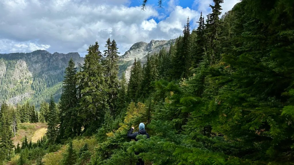
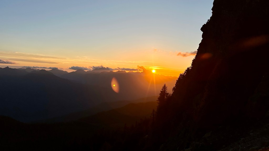
White Chuck has been on my list since seeing it from Sloan a few years ago. It is located on the Mountain Loop Highway just past Darrington and is on my climbing lists of the Mountaineers Everett Peaks and Smoots List. White Chuck, Pugh, and Sloan look like shark fins breaching the sky and clouds. I had a good view of White Chuck earlier in the season from Mount Dickerson, which both KT and I hiked, so we thought it was about time to climb White Chuck. We got a late start and hit the trail about 1:30PM. This would be good as we were later treated to a fantastic sunset.
The first view of White Chuck Northwest Peak – not our objective – also referred to as the Tower in my report.Getting ready to get our scramble on!
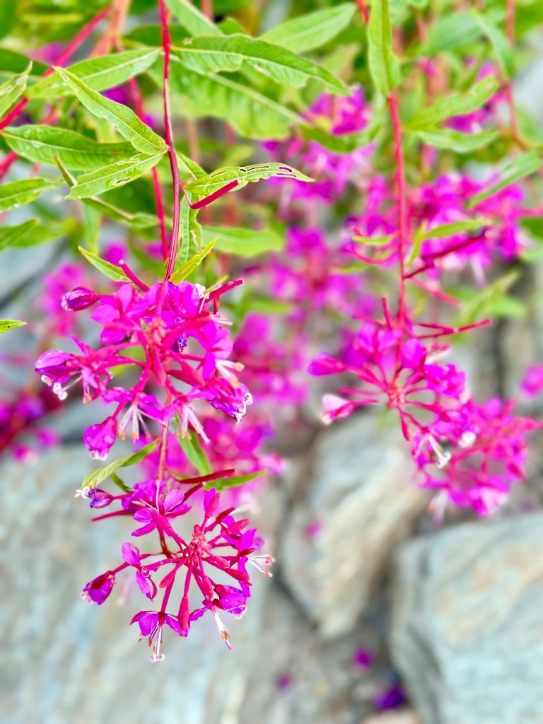
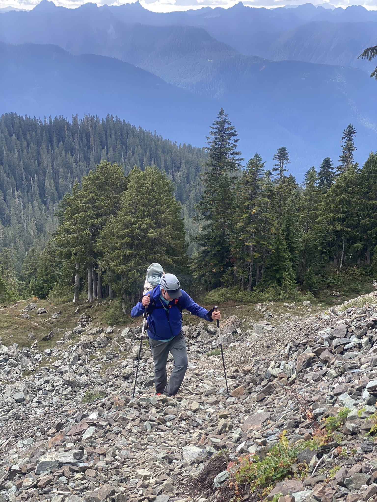
View of Mount PughKT spying PughSome color for the day – Fireweed.Past the forest and onto the rocky trail.KT leading the way to the slabs. White Chuck is up towards the right – behind the rocks in this photo.TheHad making his way up the rocky trail.
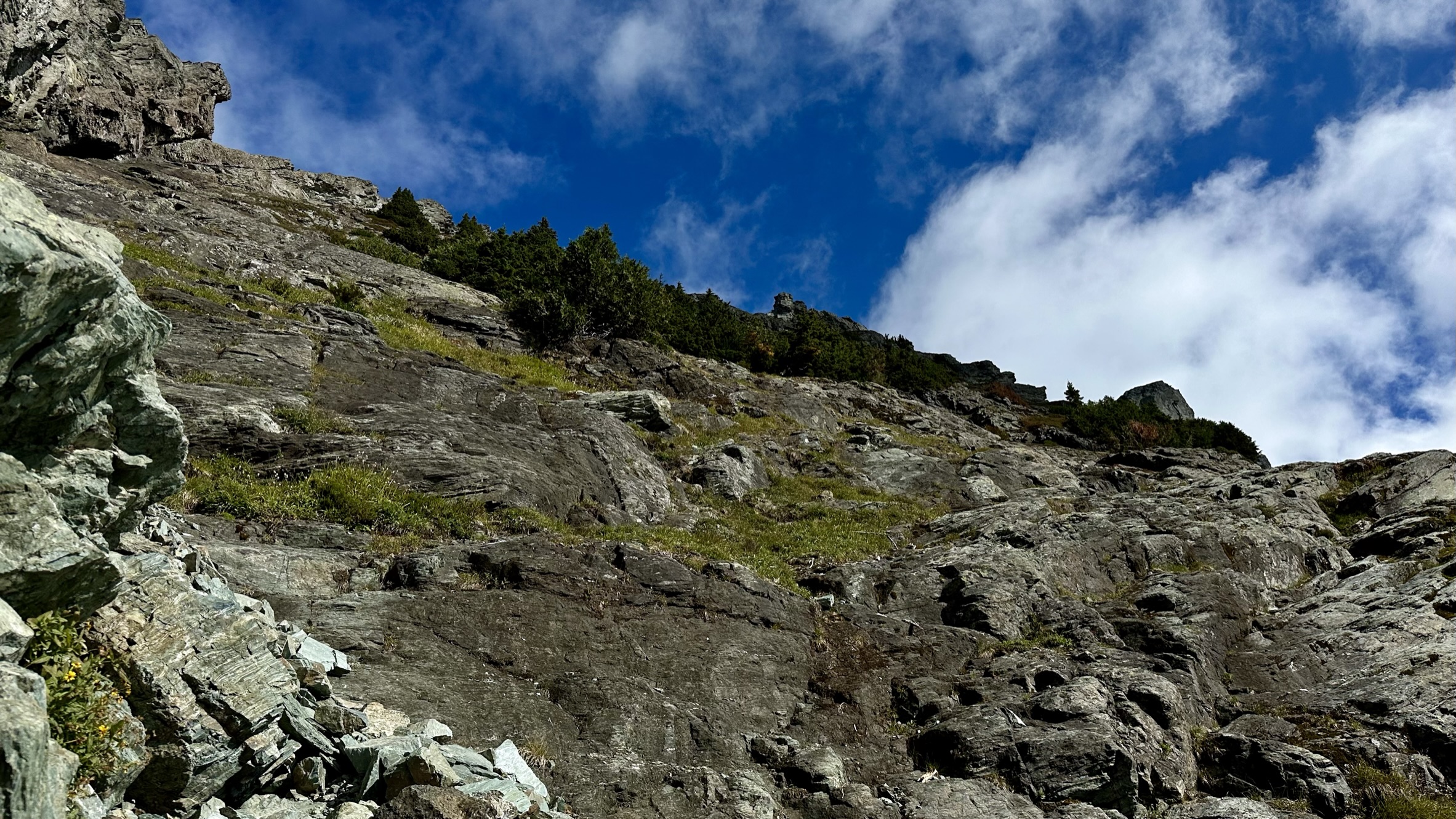
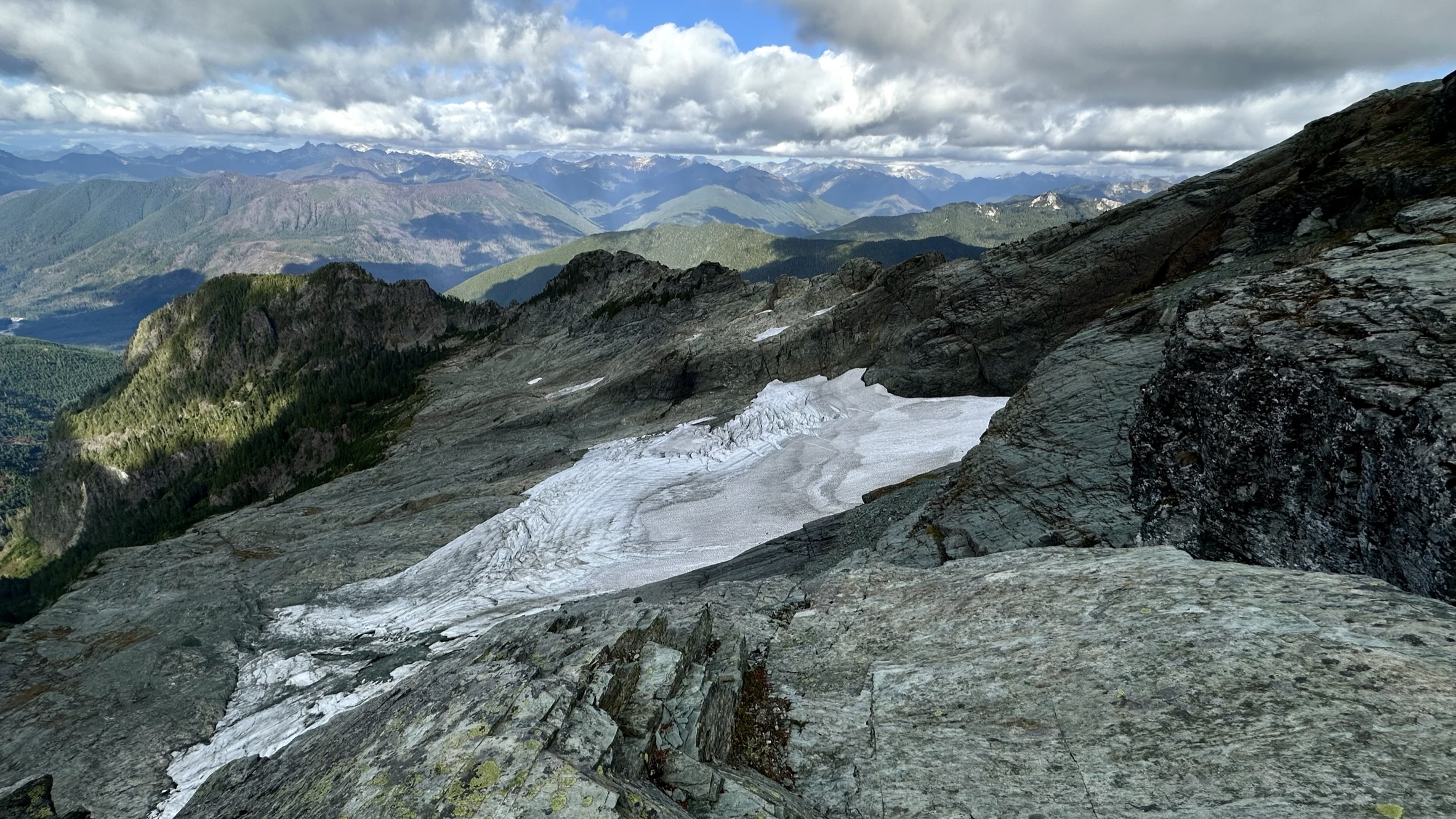
The lower downsloping slabs.
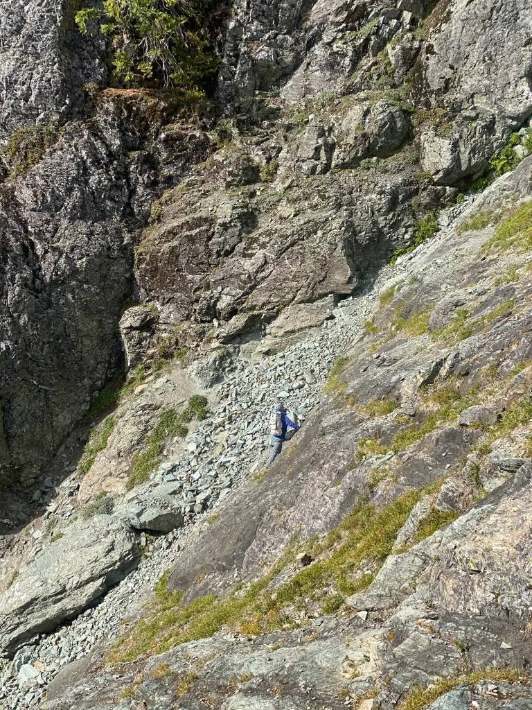
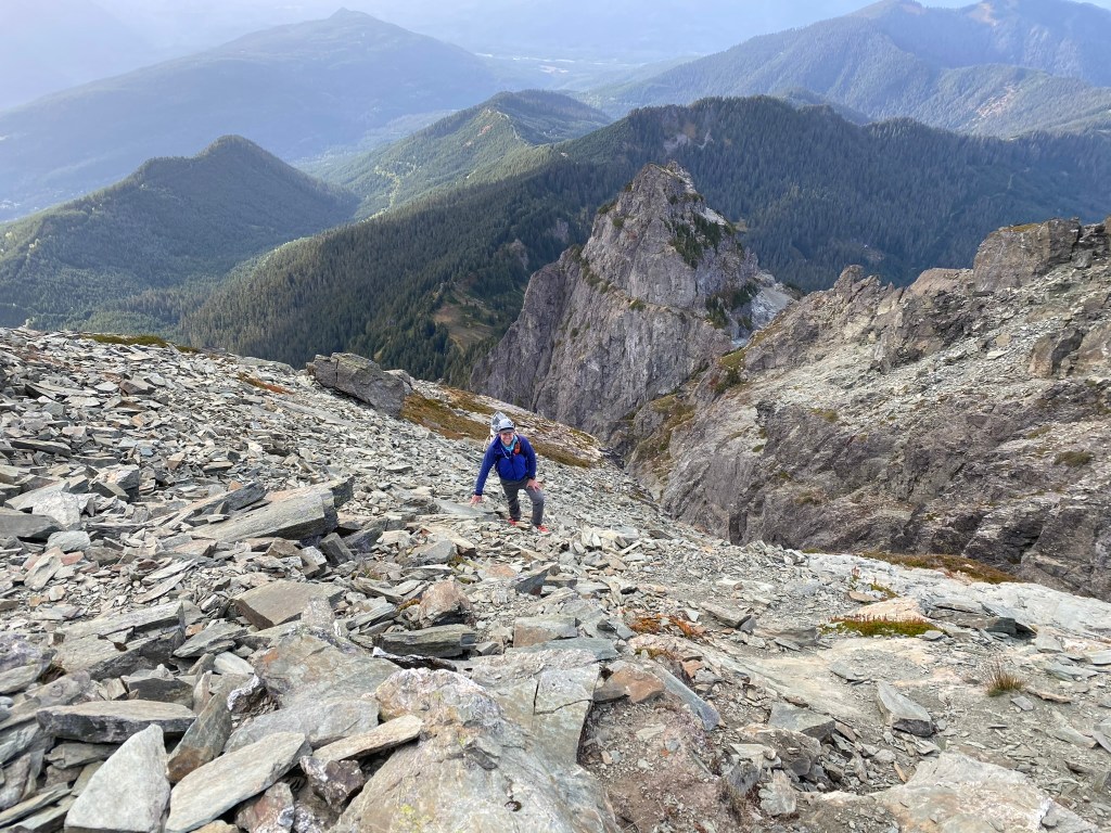
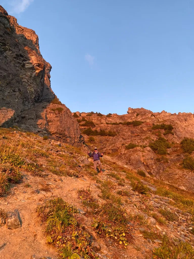
We approached the rocky slabs and made our way up. These are not that steep but a bit tricky with the footwork as there was a lot of loose gravel and sand. We would work our way above these slabs to heather slopes where we would snake our way up, bypassing cliffs and attaining higher ground above steep cliffs.
Looking down.Praytell, what am I doing here? 😂
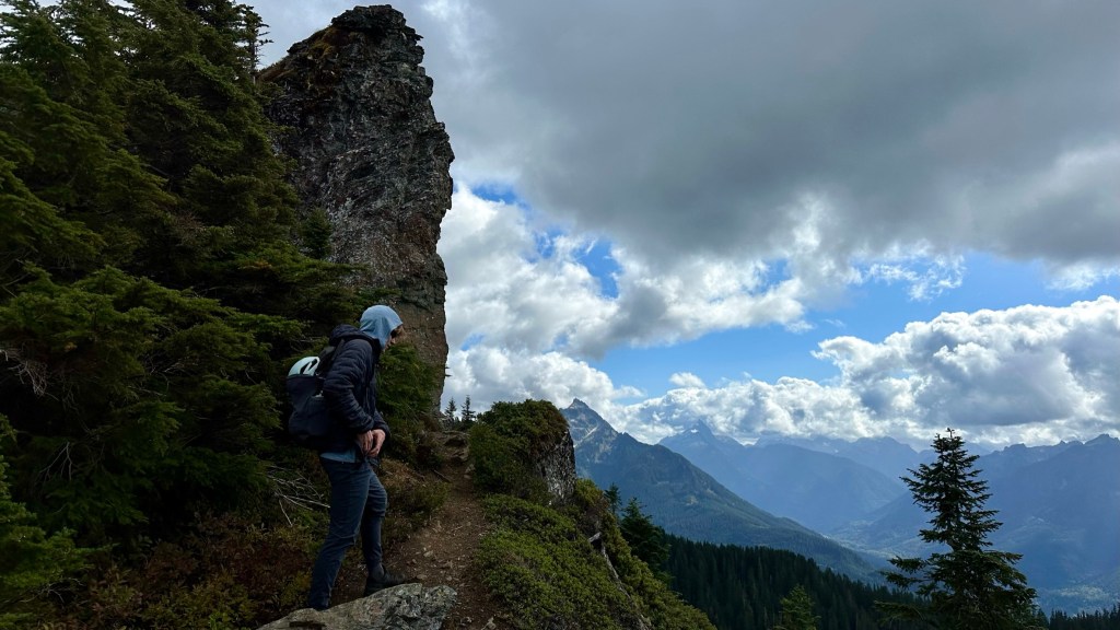
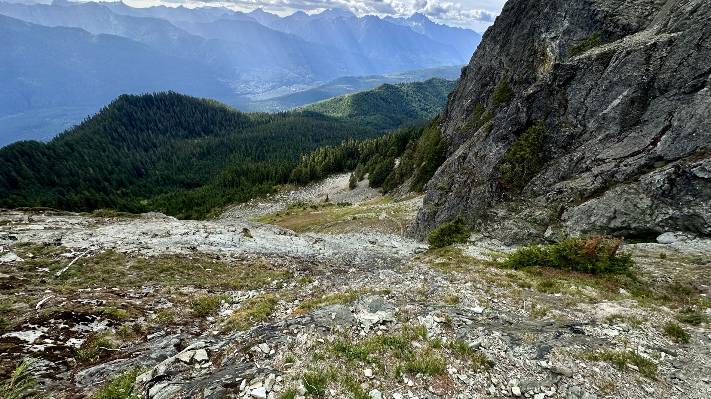
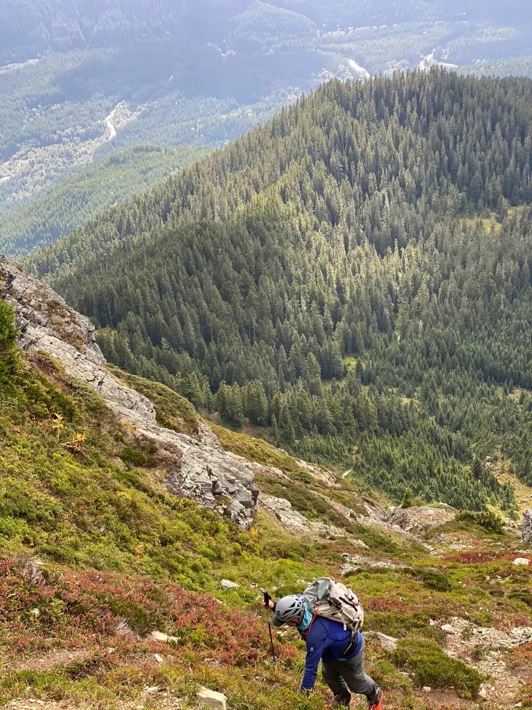
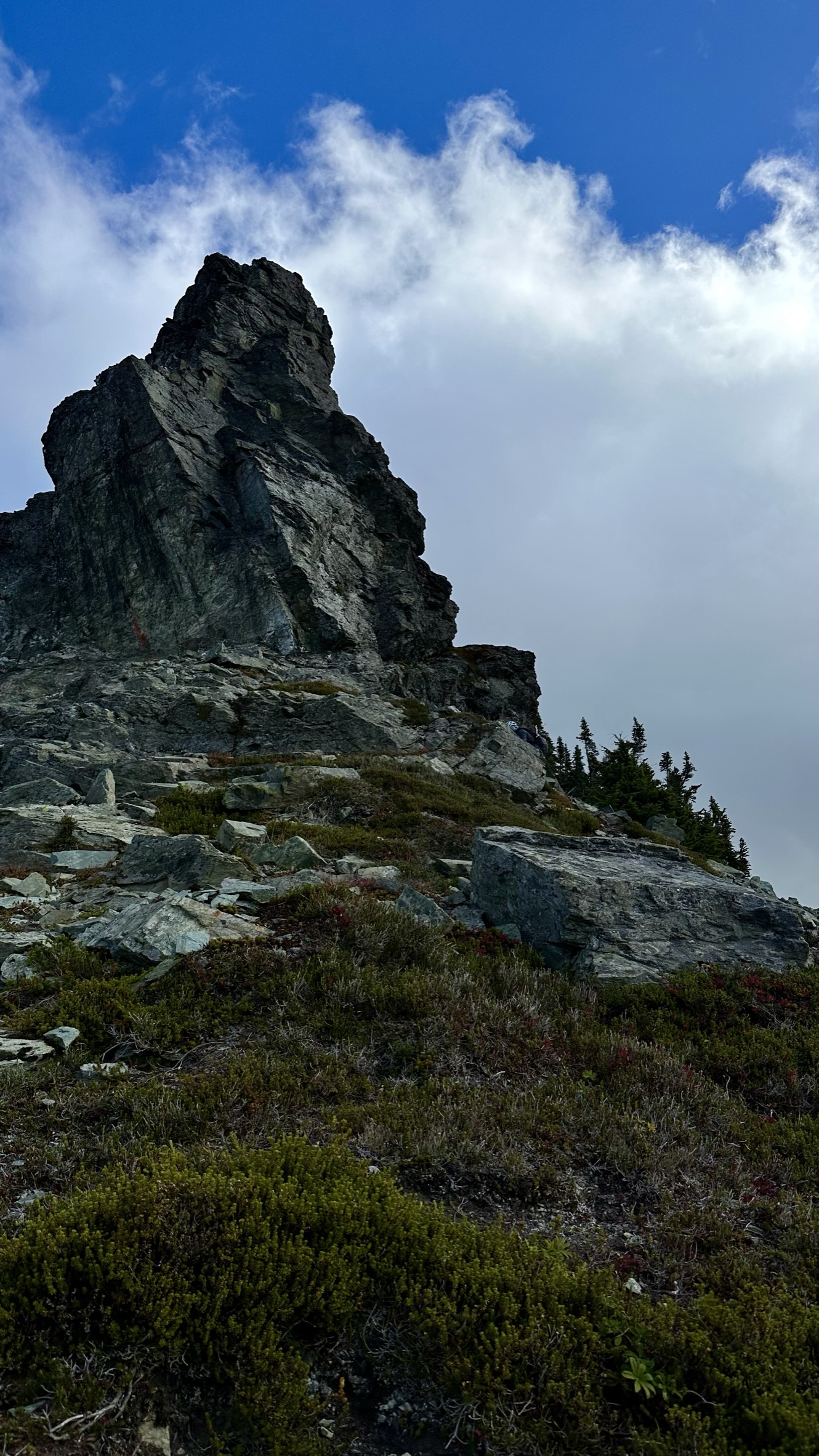
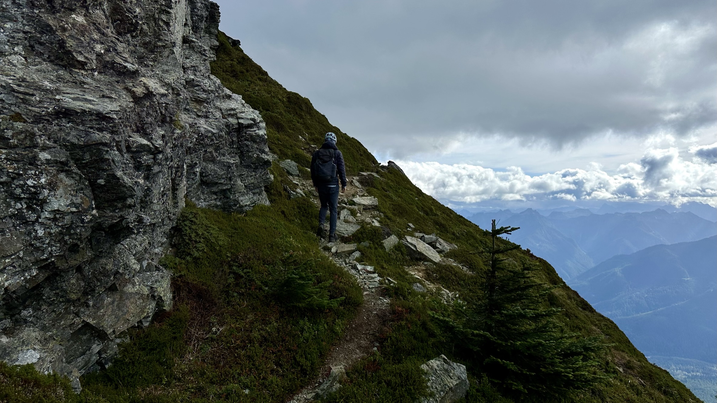
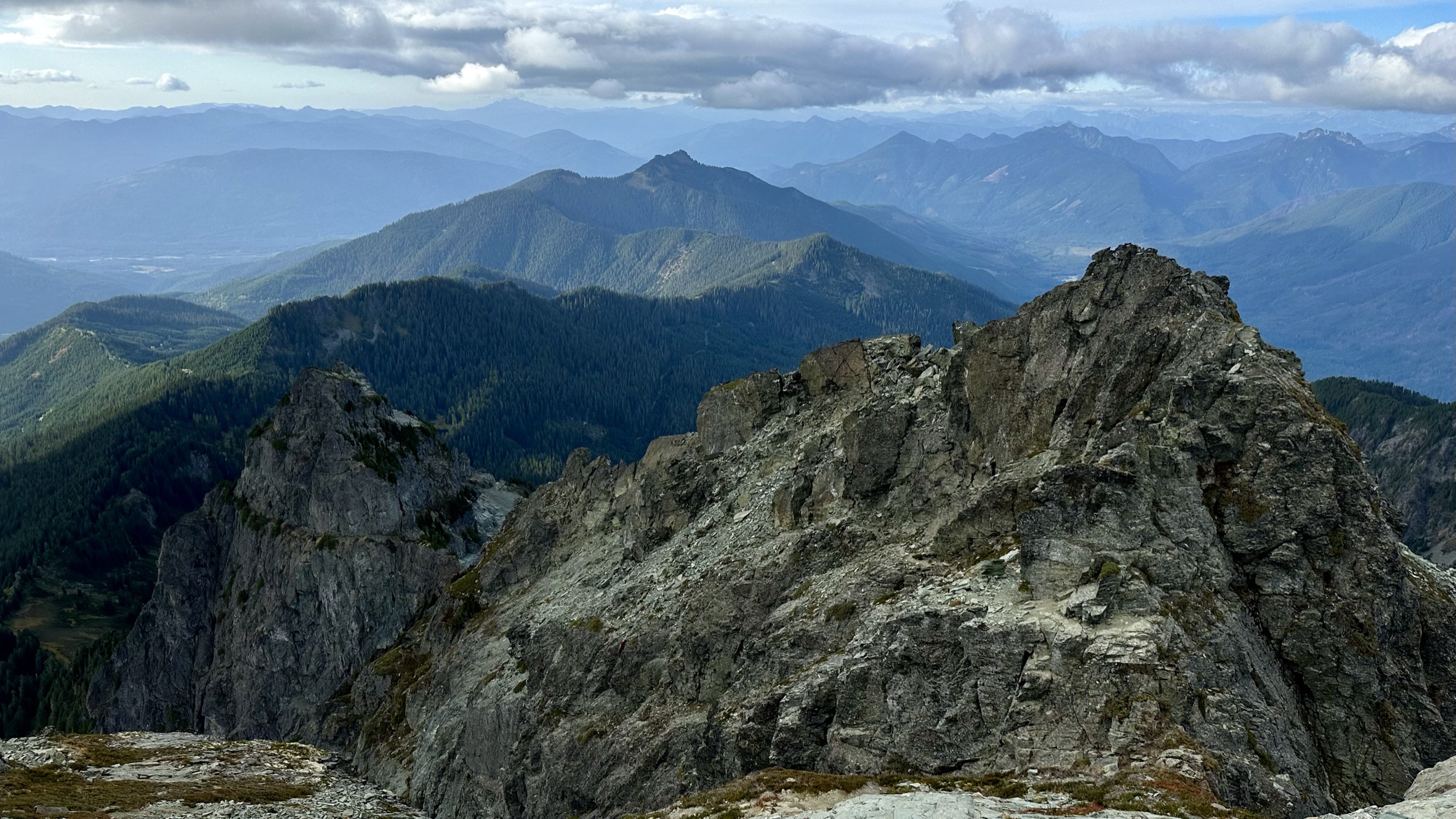
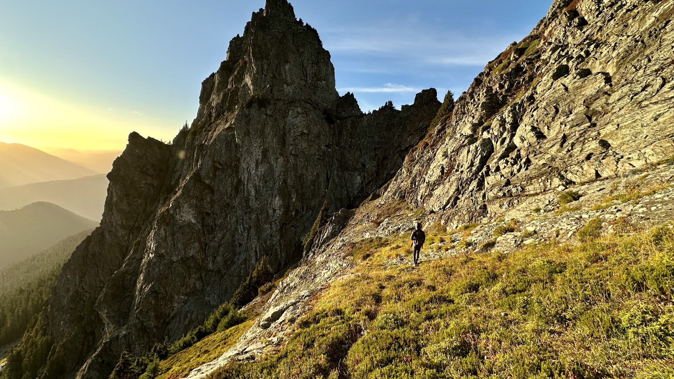
KT enjoying the views while patiently waiting for me.Working my way up the heather slopes.Working our way up.Almost to the saddle.Nearing the end of the heather slopesGaining the ridge.White Chuck Northwest Peak – Mountain Goats are visible on the ledge.Ready to wind our way to the summit.The glacier on the North side We will wind our way to the right of this Buttress.Onwards we go! This part of the reminds me of the corkscrew route up Sloan Peak.Bringing up the rear.Path to the final scramble.
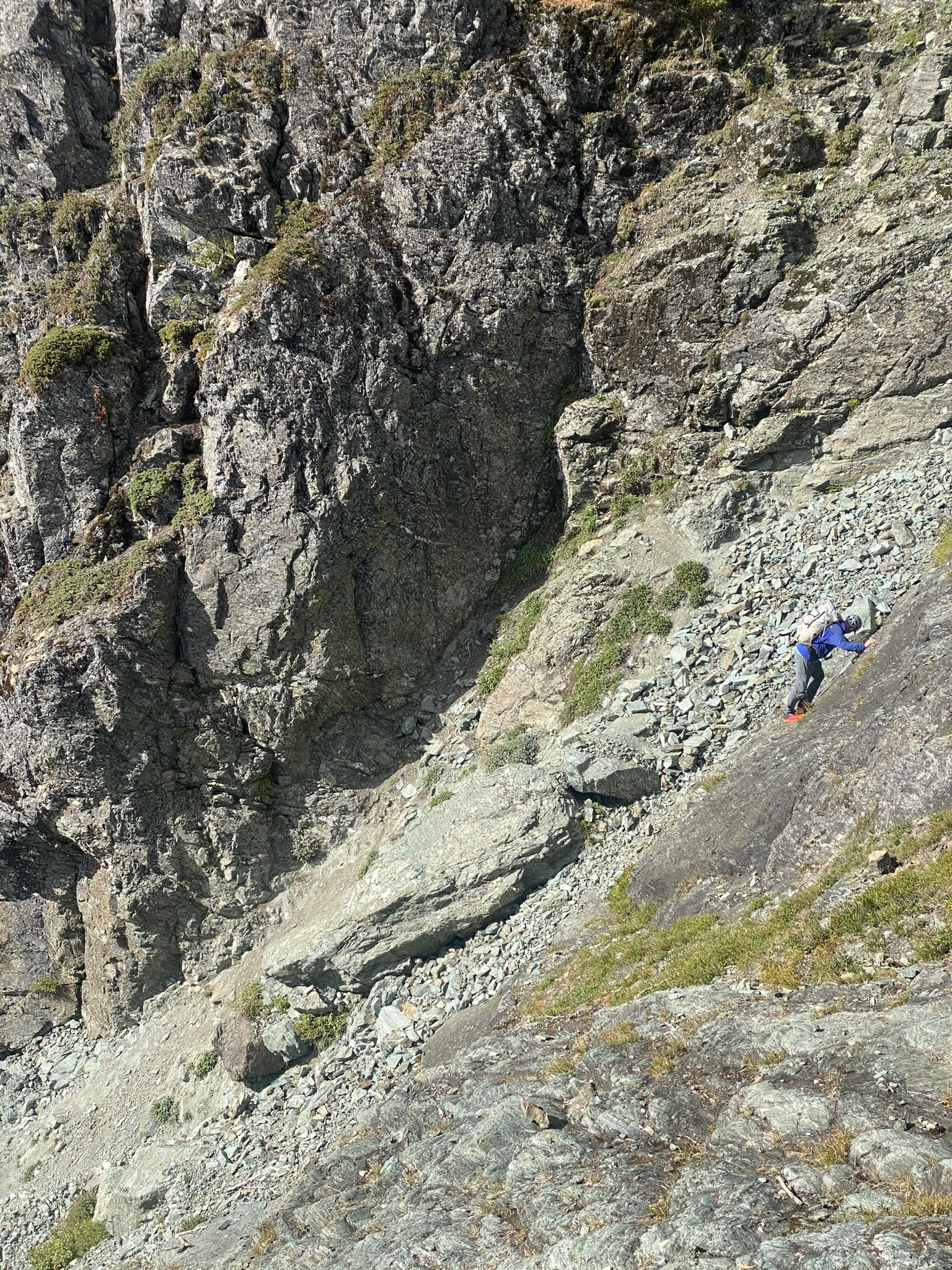
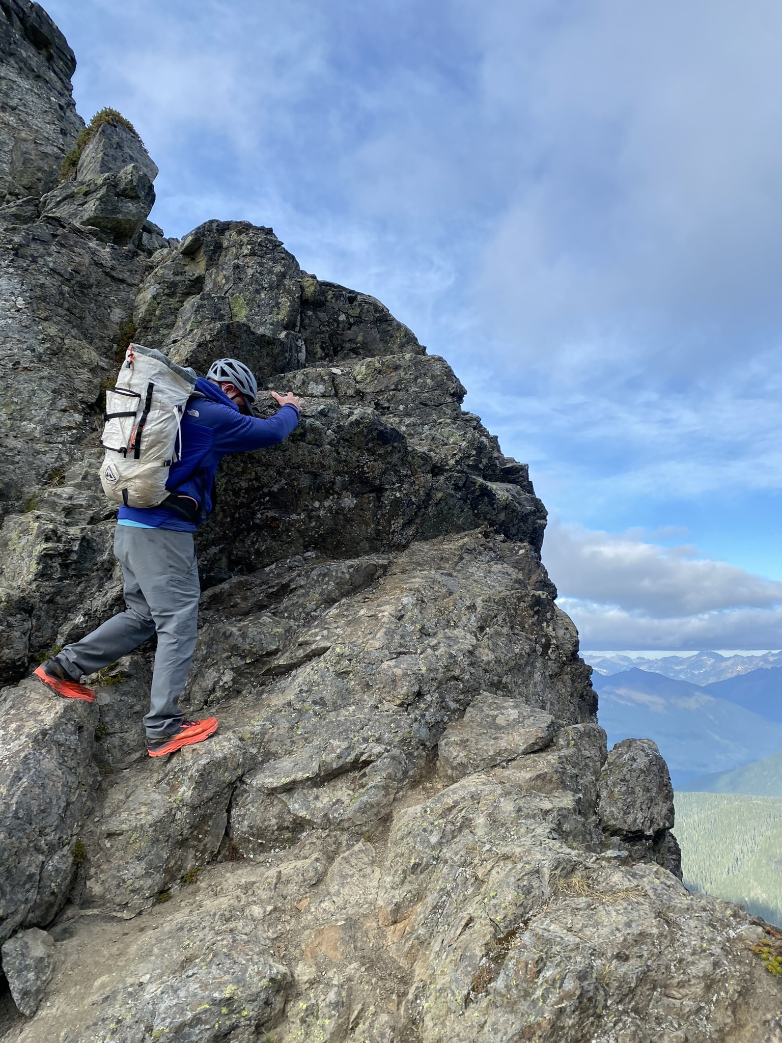
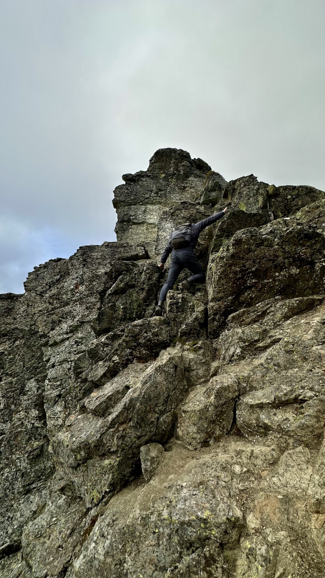
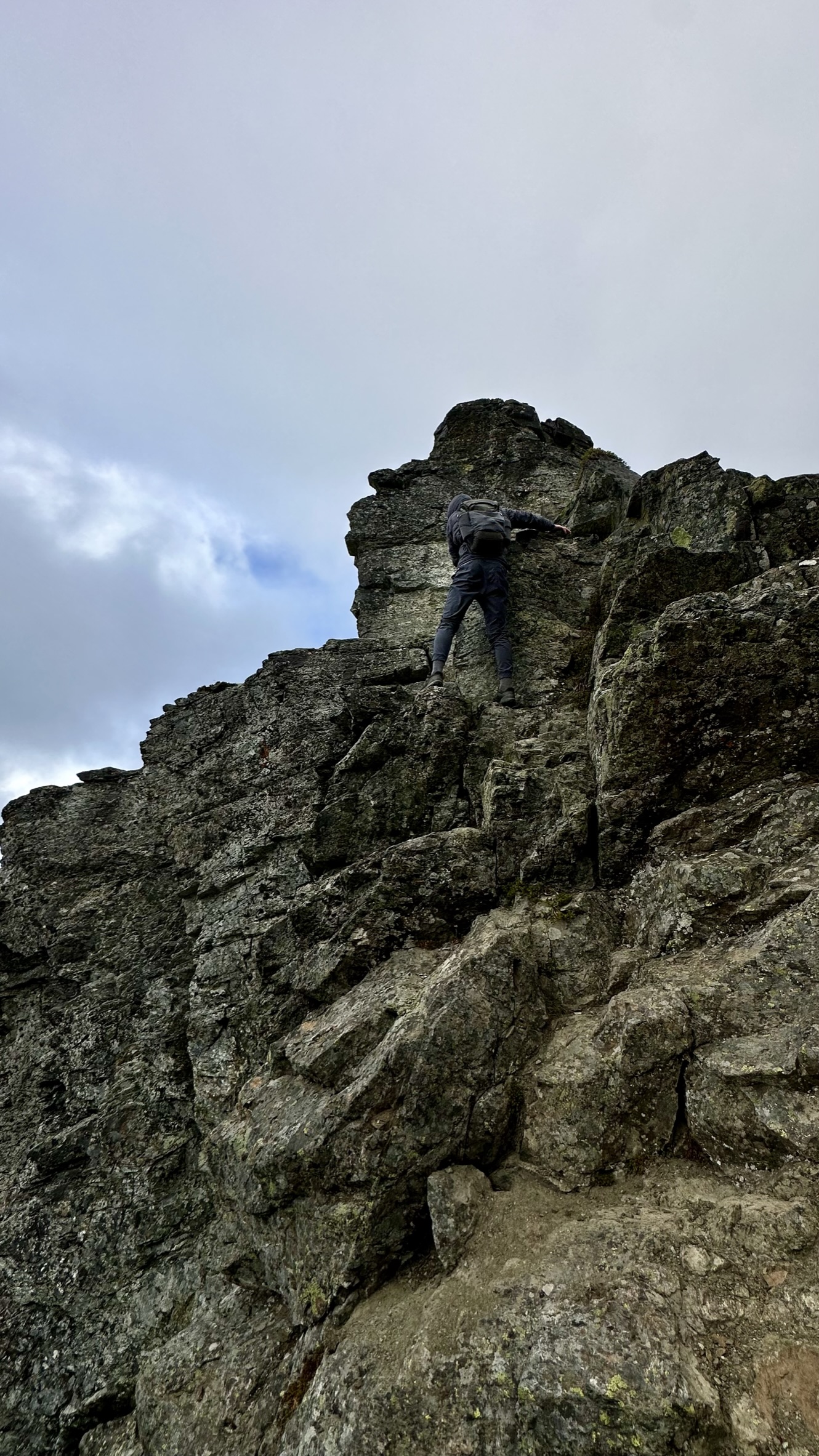
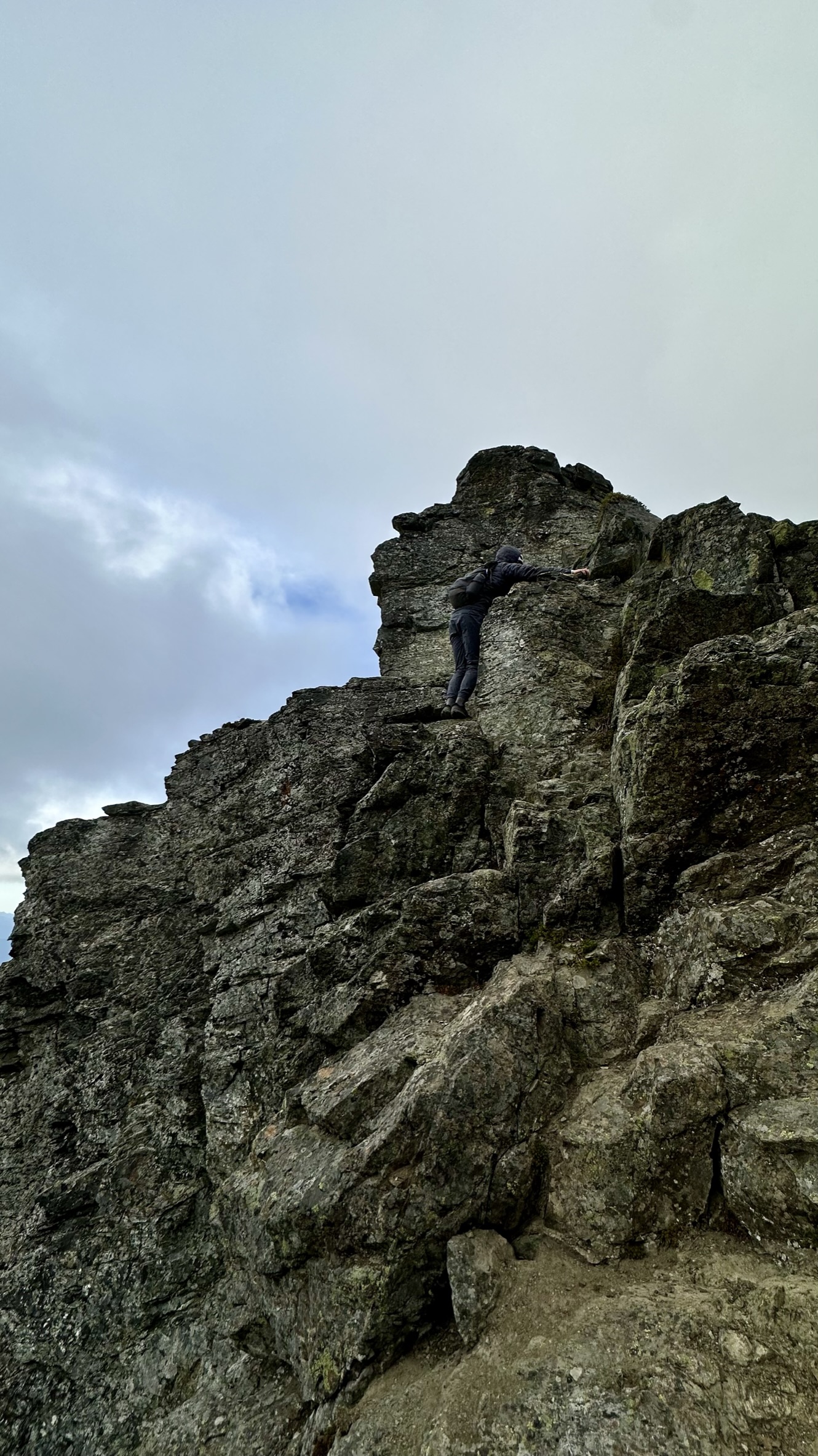
Scrambling to the summit. It was about here that we went off route, and instead of following a decent path on a ledge to the notch and summit, we went up to the left and climbed some steep rock to a false summit. We could not proceed safely to the correct path about 50 feet below us and were tired as the scrambling was sketchy as each rock and hold seemed loose, unstable, and downright crap. We took a breather, downclimbed to where we missed the path and continued upwards.
The “Notch” was a straightforward 10-foot downclimb to the saddle before the final push to the summit.
The “Notch”Looking down the steep gully from the Notch – it is steeper than shown here.Approaching the summit!
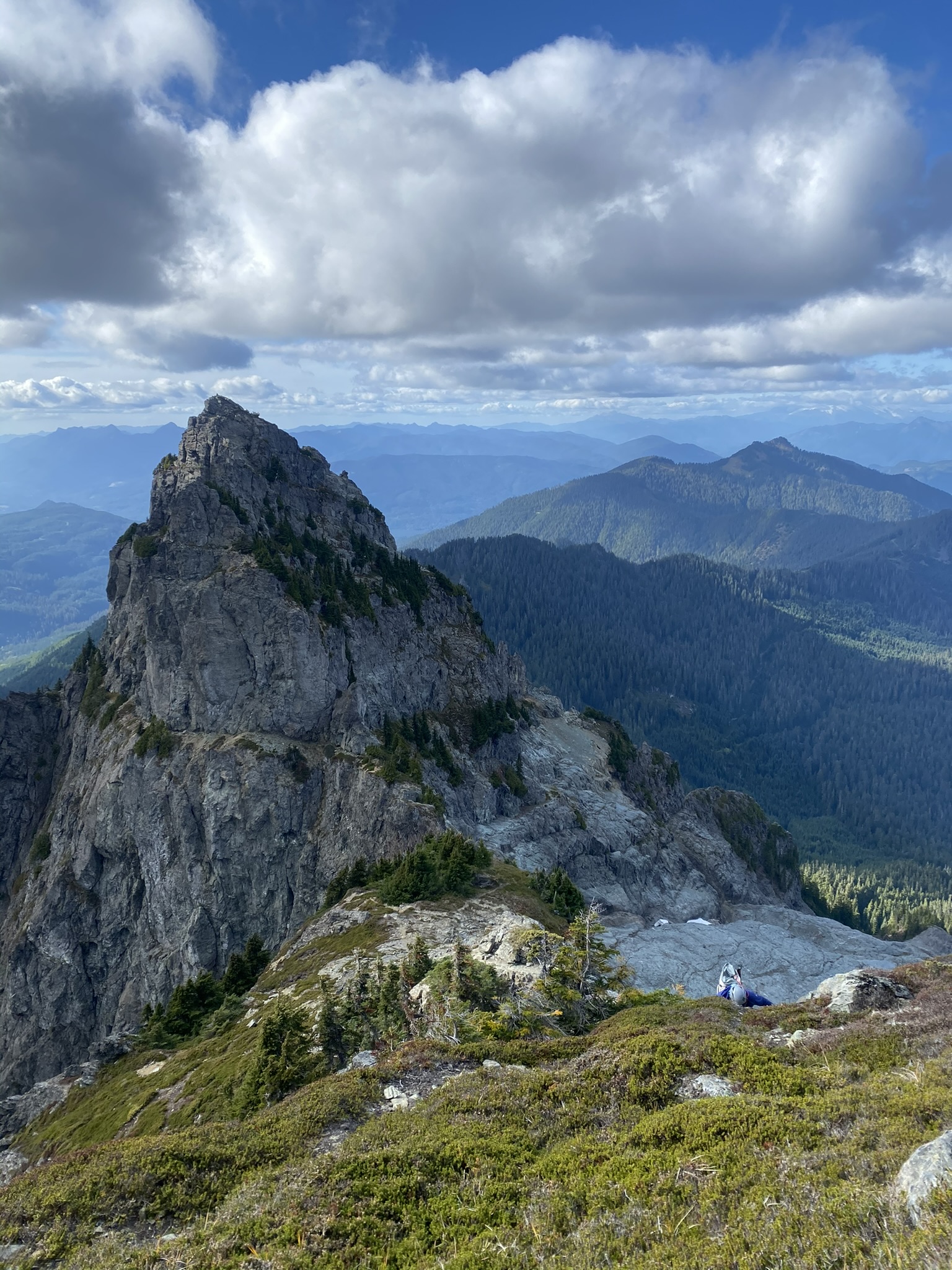
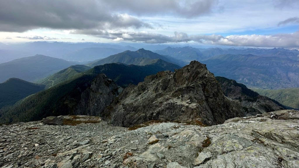
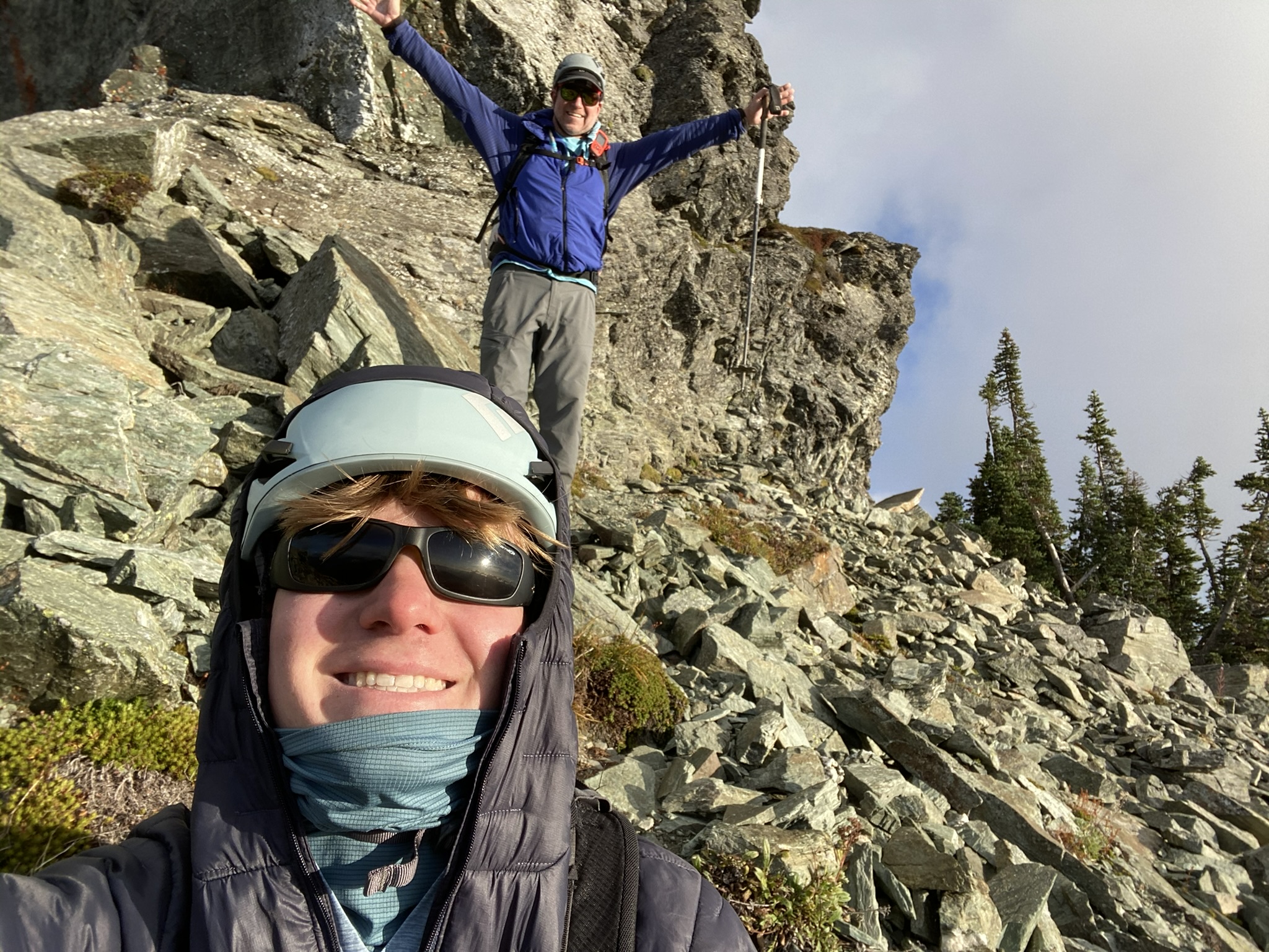
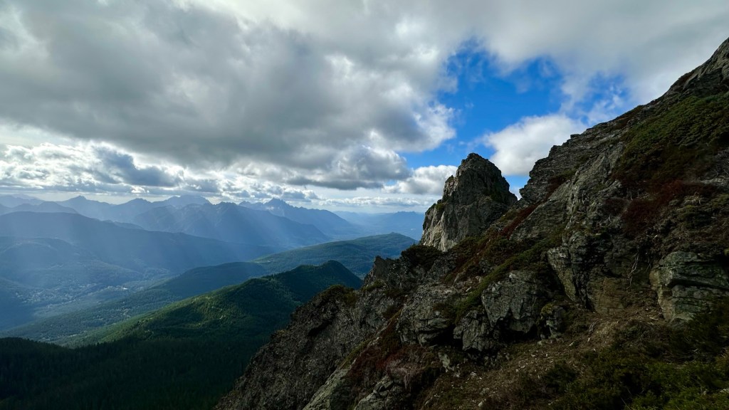
Looking back at what we climbed.Three Fingers and Whitehorse Mount Pugh and the Mountain Loop PeaksSummit Register
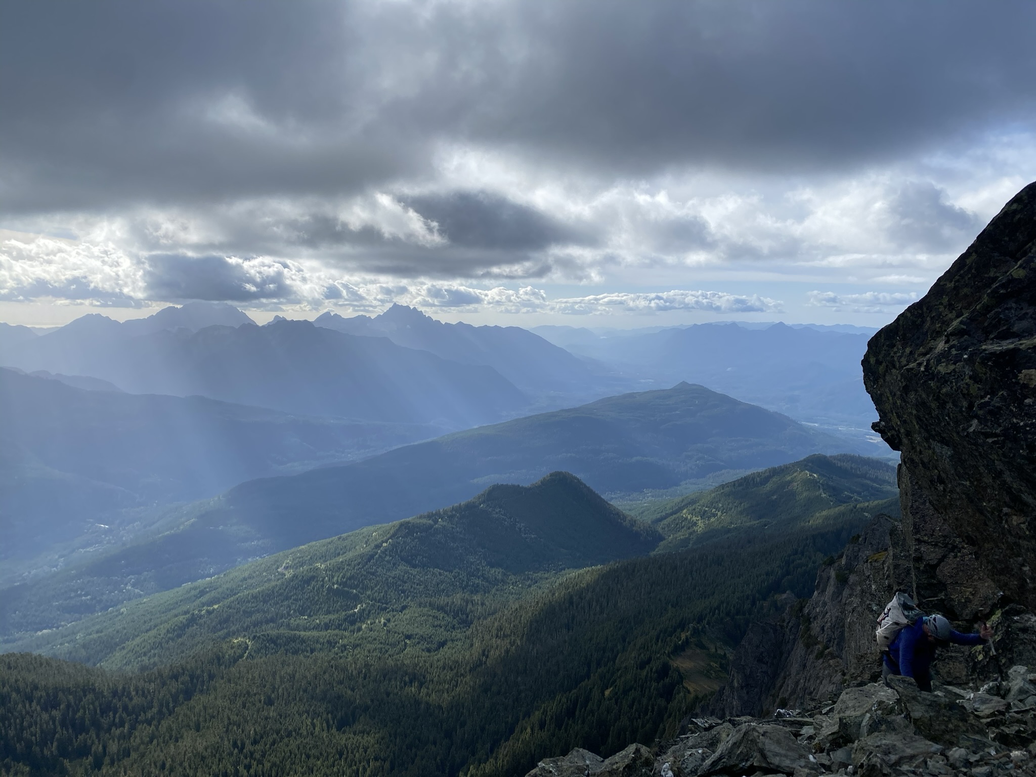
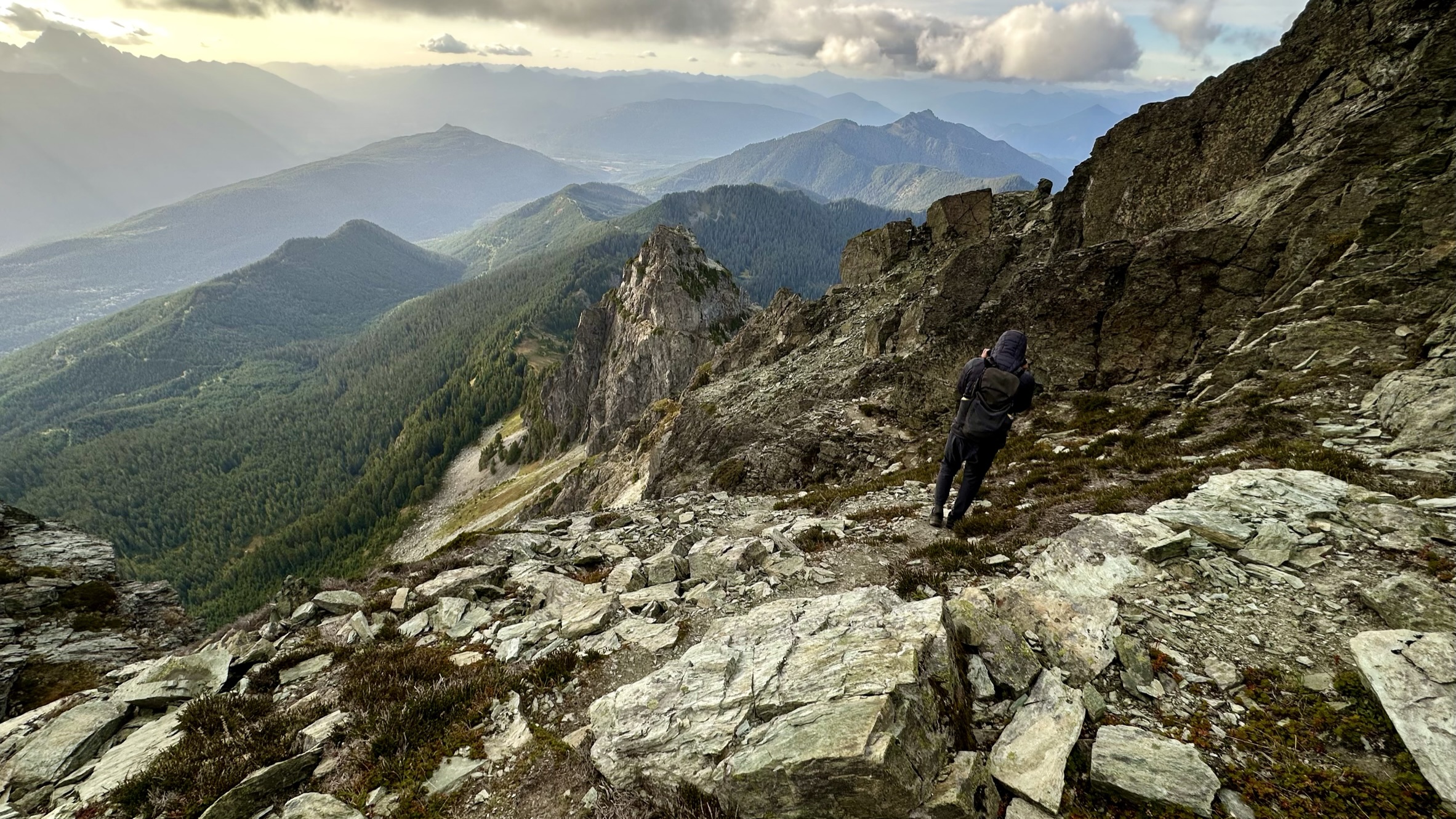
Looking East and down towards Thornton LakePugh is calling!And now it’s time to descend.The block on the left is where we went off-route, climbing up.
It’s scramble time!
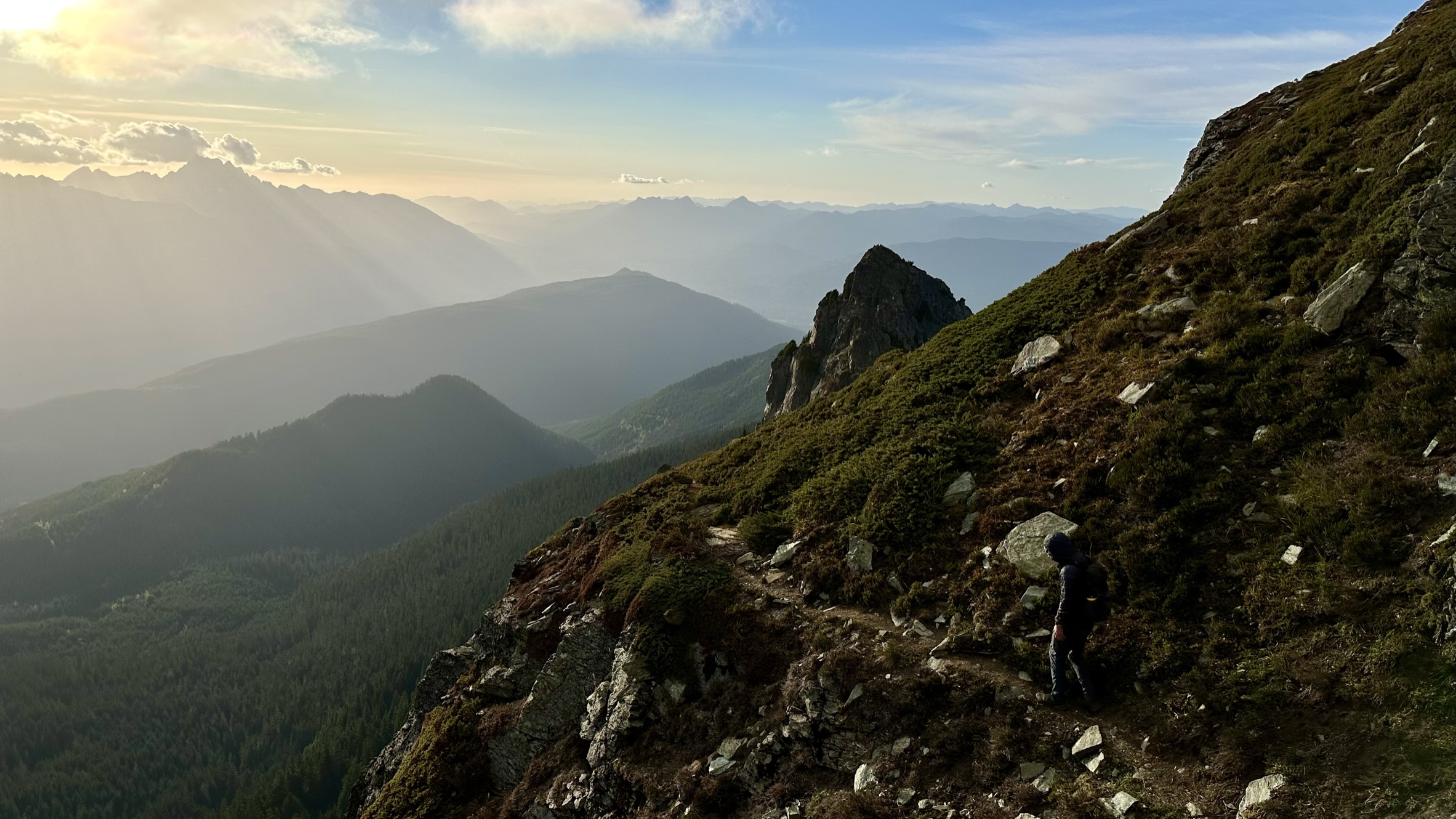
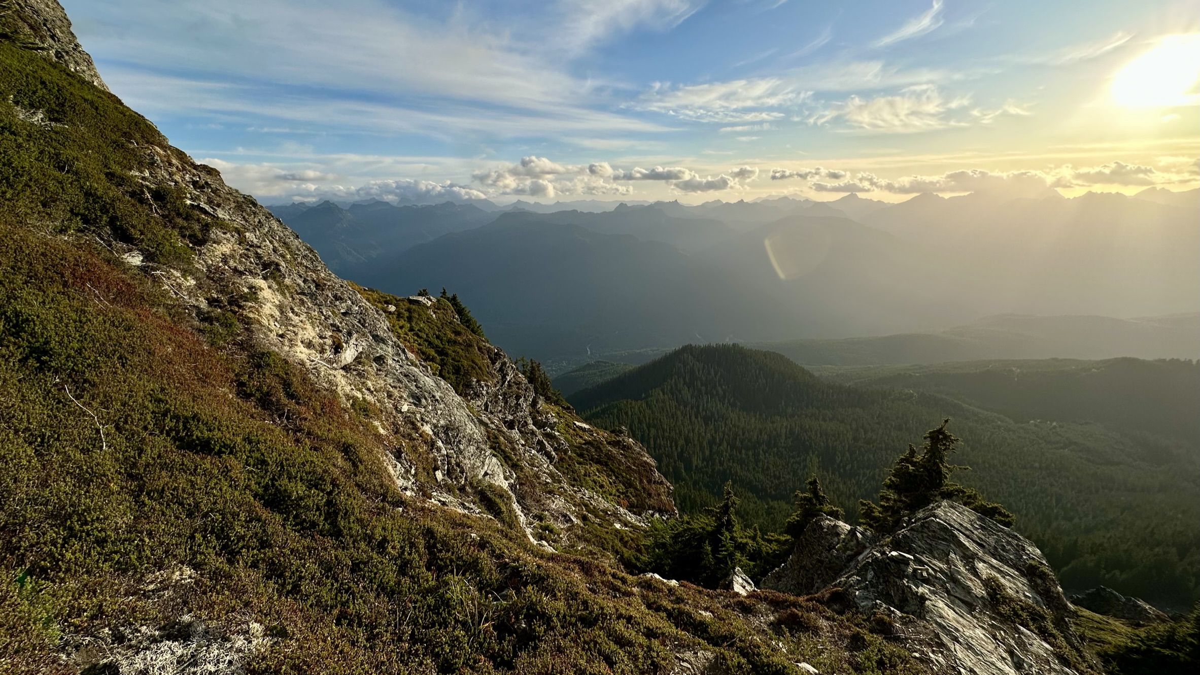
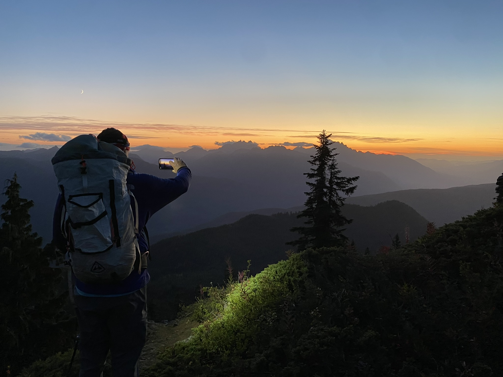
Our path down.More ledgesLooking back. The evening light was spectacular!
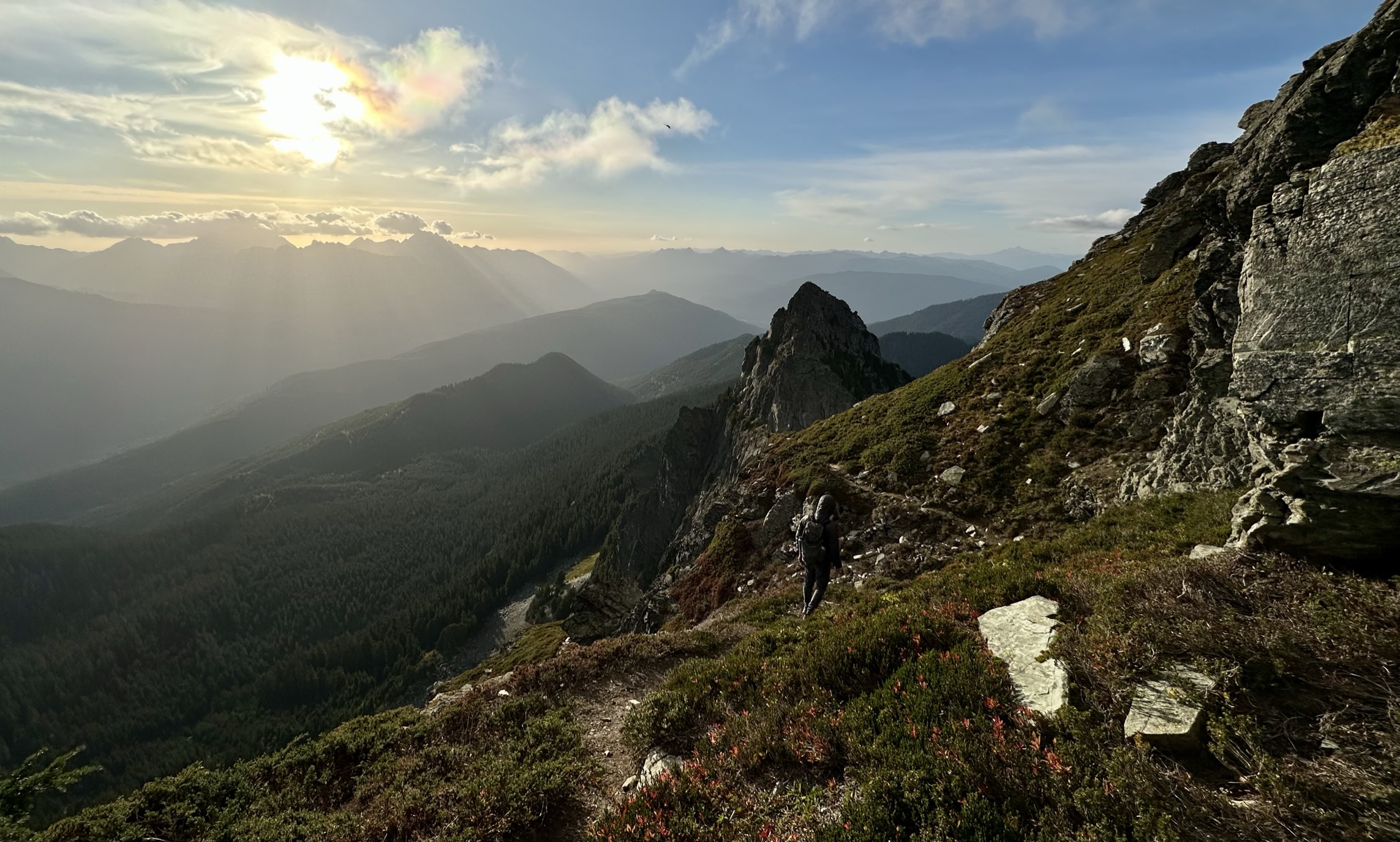
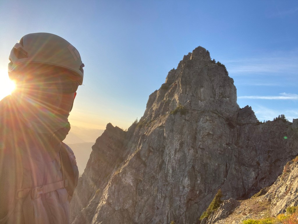
LayersWe are going to make it down!TheHad enjoy the view!We are approaching the saddle on our descentRays from aboveKT always has a sunny disposition!Beautiful sun rays.
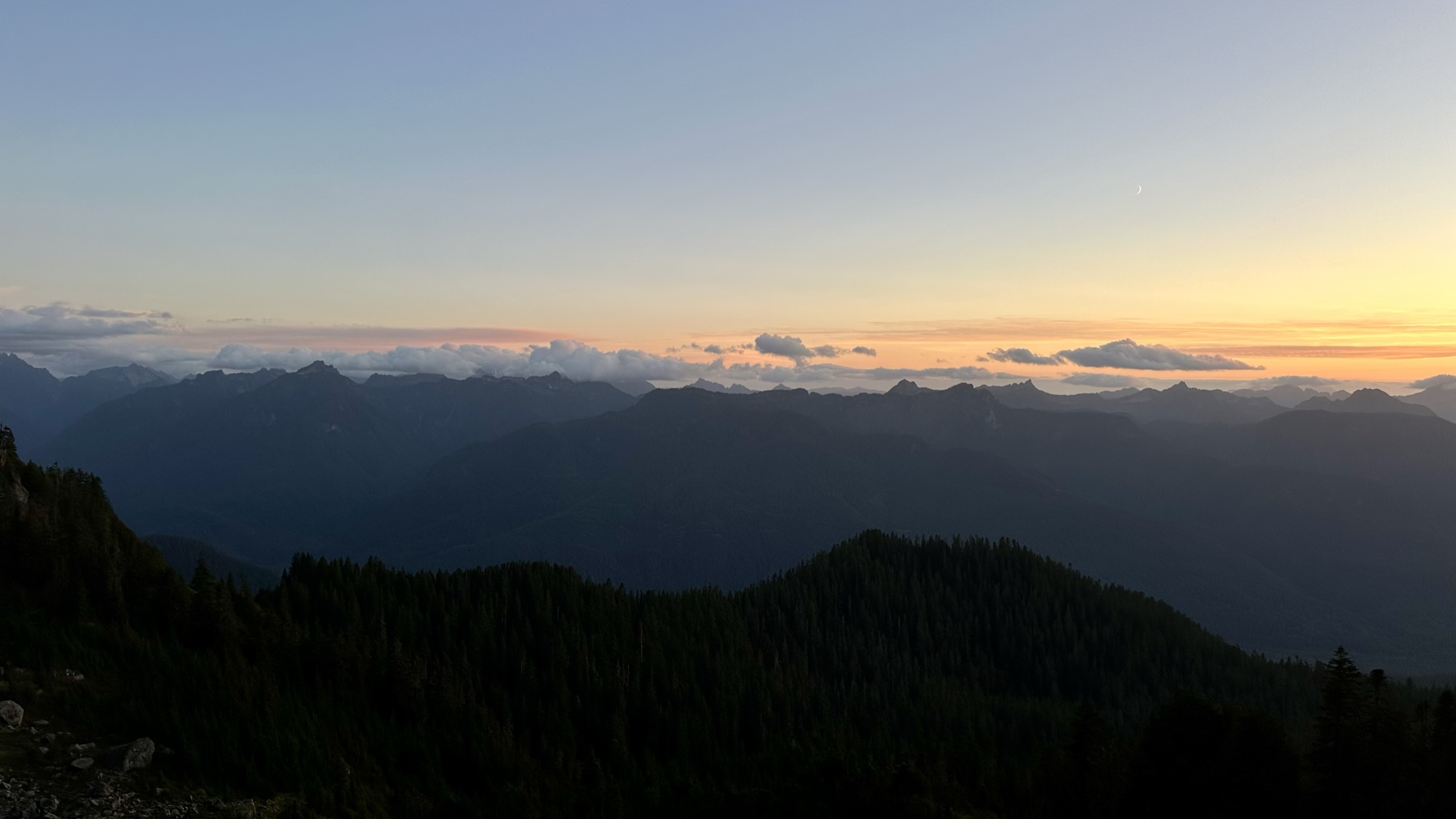
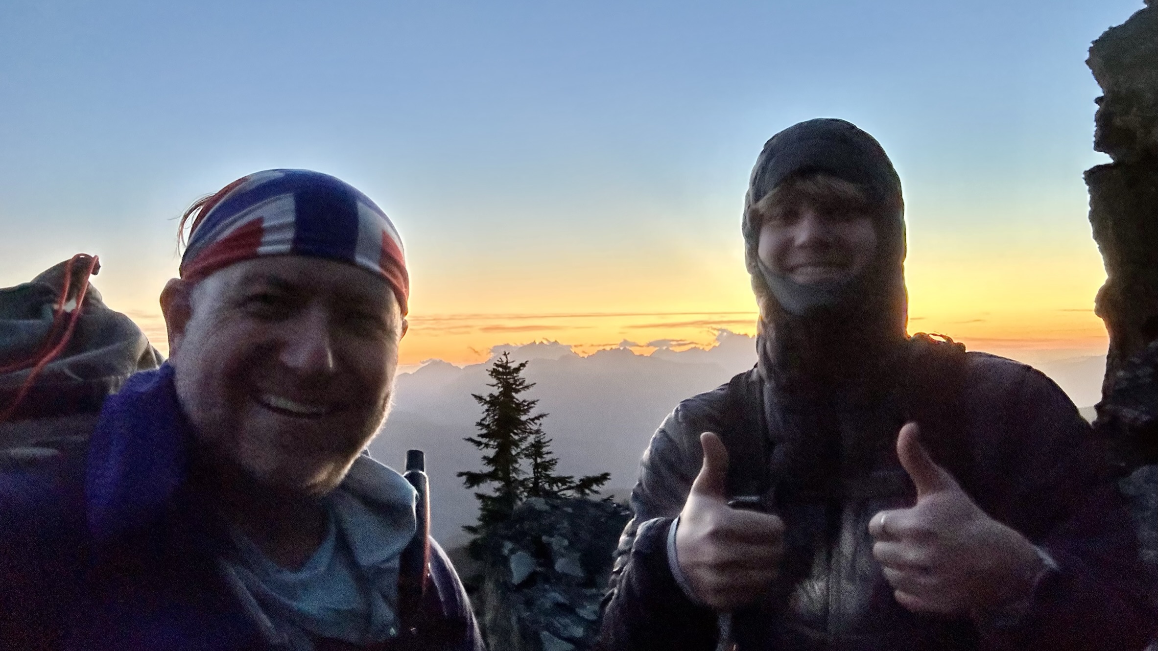
KT and I made our way to the saddle and descended the heather slopes, where we paused to enjoy the setting sun. I really loved this hike for the light at the end of the day.
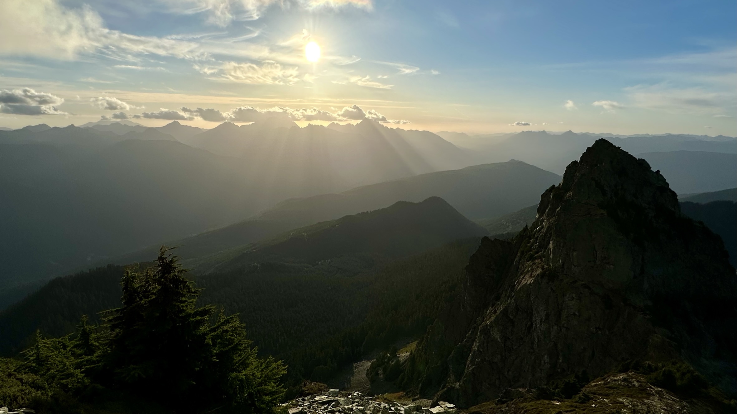
Alpenglow
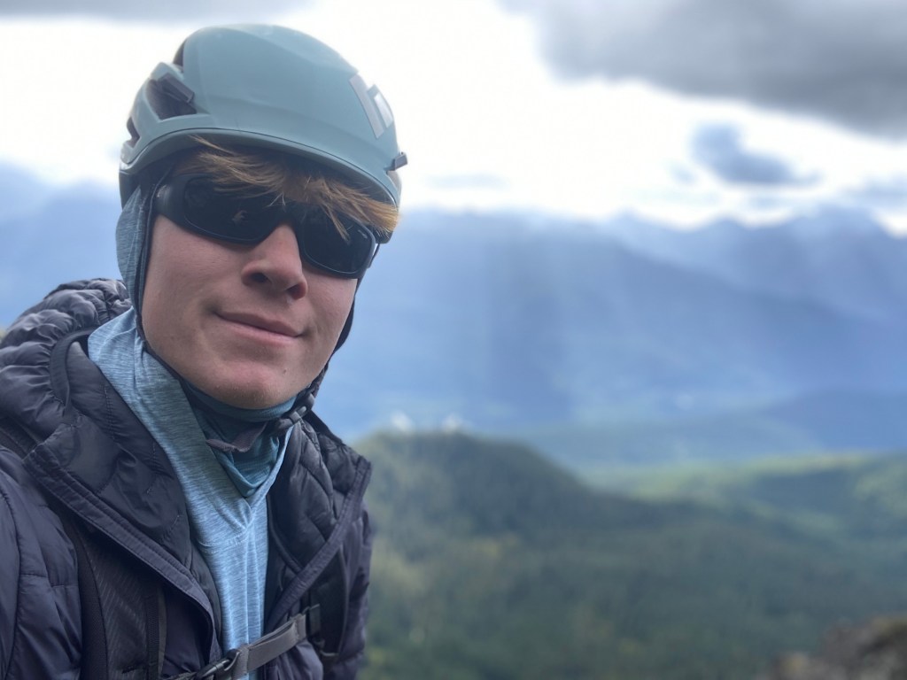
Boards of Canada vibe.Another great day climbing with KT. As always, thanks for #HikingWithHadland


Gorgeous views.Photos are amazing. The trek looked treacherous